Estimated Value: $168,000 - $193,000
3
Beds
2
Baths
1,081
Sq Ft
$168/Sq Ft
Est. Value
About This Home
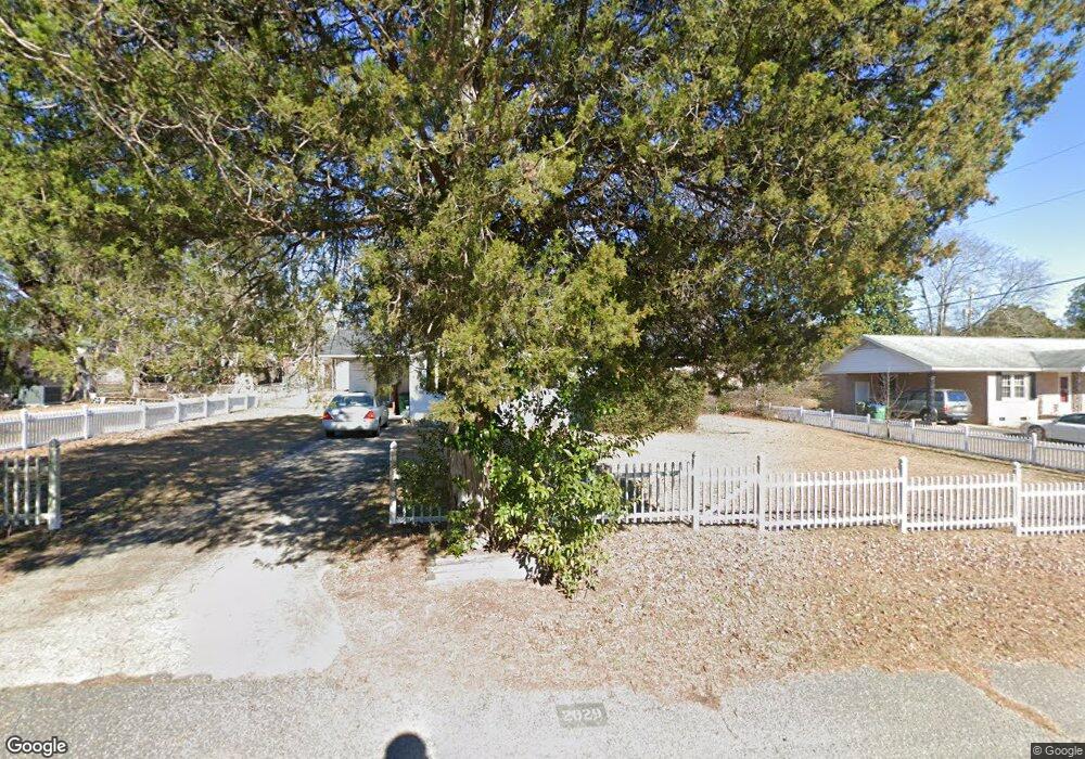
This home is located at 2029 Parliament Rd, Cayce, SC 29033 and is currently estimated at $181,537, approximately $167 per square foot. 2029 Parliament Rd is a home located in Lexington County with nearby schools including Springdale Elementary School, R. H. Fulmer Middle, and Airport High School.
Ownership History
Date
Name
Owned For
Owner Type
Purchase Details
Closed on
Jan 4, 2023
Sold by
Daniel John David
Bought by
Daniel Takako
Current Estimated Value
Purchase Details
Closed on
Mar 19, 2008
Sold by
Lohr Forrest
Bought by
Daniel John David and Daniel Takako
Home Financials for this Owner
Home Financials are based on the most recent Mortgage that was taken out on this home.
Original Mortgage
$68,000
Interest Rate
5.14%
Mortgage Type
Purchase Money Mortgage
Purchase Details
Closed on
Jan 18, 2001
Sold by
Satterfield George K
Bought by
Lohr Forrest
Create a Home Valuation Report for This Property
The Home Valuation Report is an in-depth analysis detailing your home's value as well as a comparison with similar homes in the area
Home Values in the Area
Average Home Value in this Area
Purchase History
| Date | Buyer | Sale Price | Title Company |
|---|---|---|---|
| Daniel Takako | -- | -- | |
| Daniel John David | $90,000 | None Available | |
| Lohr Forrest | $69,000 | -- |
Source: Public Records
Mortgage History
| Date | Status | Borrower | Loan Amount |
|---|---|---|---|
| Previous Owner | Daniel John David | $68,000 |
Source: Public Records
Tax History
| Year | Tax Paid | Tax Assessment Tax Assessment Total Assessment is a certain percentage of the fair market value that is determined by local assessors to be the total taxable value of land and additions on the property. | Land | Improvement |
|---|---|---|---|---|
| 2024 | $597 | $2,992 | $720 | $2,272 |
| 2023 | $539 | $2,992 | $720 | $2,272 |
| 2022 | $533 | $2,992 | $720 | $2,272 |
| 2020 | $519 | $2,992 | $720 | $2,272 |
| 2019 | $500 | $2,816 | $720 | $2,096 |
| 2018 | $495 | $2,816 | $720 | $2,096 |
| 2017 | $477 | $2,816 | $720 | $2,096 |
| 2016 | $485 | $2,815 | $720 | $2,095 |
| 2014 | $453 | $3,599 | $800 | $2,799 |
| 2013 | -- | $5,400 | $1,200 | $4,200 |
Source: Public Records
Map
Nearby Homes
- 2017 Wellington Rd
- 602 Picadilly Square
- 1919 Windsor Dr
- 2015 Stratford Rd
- 2107 Durham Dr
- 2116 Durham Dr
- 1143 Lee Cir
- 2311 Congaree Dr
- 1116 Lee Cir
- 3017 Platt Springs Rd
- 3027 Platt Springs Rd
- 300 Dale Ln
- 1855 Evelyn St
- 1832 Wadsworth Dr
- 2810 Shampy St
- 819 Pond Dr
- 107 Cherry Ln
- 1818 Sunnyside Dr
- 331 Ursus Dr
- 327 Ursus Dr
- 2025 Parliament Rd
- 2033 Parliament Rd
- 2028 Gibraltar Rd
- 2032 Gibraltar Rd
- 2022 Gibraltar Rd
- 2021 Parliament Rd
- 2037 Parliament Rd
- 2020 Parliament Rd
- 2026 Parliament Rd
- 2016 Parliament Rd
- 2036 Gibraltar Rd
- 2010 Parliament Rd
- 2030 Parliament Rd
- 2030 Parliament Dr
- 2041 Parliament Rd
- 2321 Londonderry Ln
- 2313 Londonderry Ln
- 2040 Gibraltar Rd
- 2006 Parliament Rd
- 2034 Parliament Dr
Your Personal Tour Guide
Ask me questions while you tour the home.