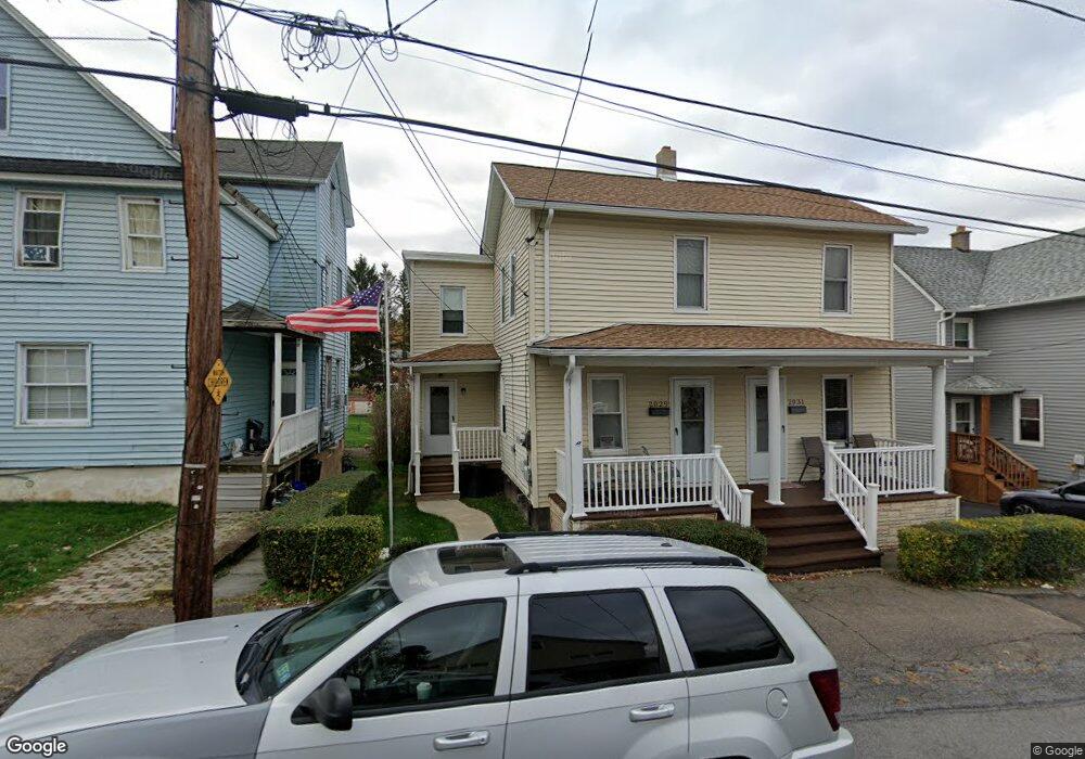
2029 Price St Unit 31 Scranton, PA 18504
Hyde Park NeighborhoodEstimated Value: $209,000 - $279,000
--
Bed
--
Bath
--
Sq Ft
7,492
Sq Ft Lot
About This Home
This home is located at 2029 Price St Unit 31, Scranton, PA 18504 and is currently estimated at $239,333. 2029 Price St Unit 31 is a home located in Lackawanna County with nearby schools including Montrose Elementary School, Longan Elementary School, and Adams Elementary School.
Ownership History
Date
Name
Owned For
Owner Type
Purchase Details
Closed on
Nov 1, 2024
Sold by
Guido Joseph Samuel and Suchter Linda Ann
Bought by
Guido Joseph Samuel
Current Estimated Value
Home Financials for this Owner
Home Financials are based on the most recent Mortgage that was taken out on this home.
Original Mortgage
$65,000
Outstanding Balance
$64,353
Interest Rate
6.12%
Mortgage Type
New Conventional
Estimated Equity
$174,980
Purchase Details
Closed on
Aug 20, 2014
Sold by
Guido Joseph and Guido Shirley
Bought by
Guido Joseph Samuel and Suchter Linda Ann
Create a Home Valuation Report for This Property
The Home Valuation Report is an in-depth analysis detailing your home's value as well as a comparison with similar homes in the area
Home Values in the Area
Average Home Value in this Area
Purchase History
| Date | Buyer | Sale Price | Title Company |
|---|---|---|---|
| Guido Joseph Samuel | -- | None Listed On Document | |
| Guido Joseph Samuel | -- | None Listed On Document | |
| Guido Joseph Samuel | -- | None Available |
Source: Public Records
Mortgage History
| Date | Status | Borrower | Loan Amount |
|---|---|---|---|
| Open | Guido Joseph Samuel | $65,000 | |
| Closed | Guido Joseph Samuel | $65,000 |
Source: Public Records
Tax History Compared to Growth
Tax History
| Year | Tax Paid | Tax Assessment Tax Assessment Total Assessment is a certain percentage of the fair market value that is determined by local assessors to be the total taxable value of land and additions on the property. | Land | Improvement |
|---|---|---|---|---|
| 2025 | $2,212 | $6,600 | $1,500 | $5,100 |
| 2024 | $2,027 | $6,600 | $1,500 | $5,100 |
| 2023 | $2,027 | $6,600 | $1,500 | $5,100 |
| 2022 | $1,983 | $6,600 | $1,500 | $5,100 |
| 2021 | $1,983 | $6,600 | $1,500 | $5,100 |
| 2020 | $1,947 | $6,600 | $1,500 | $5,100 |
| 2019 | $1,834 | $6,600 | $1,500 | $5,100 |
| 2018 | $1,834 | $6,600 | $1,500 | $5,100 |
| 2017 | $1,803 | $6,600 | $1,500 | $5,100 |
| 2016 | $0 | $6,600 | $1,500 | $5,100 |
| 2015 | $1,041 | $6,600 | $1,500 | $5,100 |
| 2014 | -- | $6,600 | $1,500 | $5,100 |
Source: Public Records
Map
Nearby Homes
- 1919 Price St
- 2133 35 Jackson St
- 133 S Van Buren Ave
- 142 S Van Buren Ave
- 1827 Price St
- 138-140 S Everett Ave
- 149 S Everett Ave
- 1717 Lafayette St
- 328 N Fillmore Ave
- 217 219 221 N Garfield Ave
- 1809 Washburn St
- 352 N Fillmore Ave
- 227 N Rebecca Ave
- 357 Hughes Ct
- 305 S Garfield Ave
- 444 N Cameron Ave
- 1819 Luzerne St
- 318 15th Ave
- 1413 1415 Lafayette St
- 138 S Keyser Ave
- 2025 Price St Unit 2027
- 2033 Price St Unit 2035
- 2035 Price St
- 2037 Price St
- 2023 Price St
- 120 N Grant Ave
- 118 N Grant Ave
- 116 N Grant Ave
- 2013 Price St
- 123 N Grant Ave
- 2032 Price St Unit 2034
- 2038 Price St
- 2015 Price St
- 2026 Price St
- 2105 Price St
- 115 N Grant Ave
- 115 N Grant Ave
- 2020 Price St Unit 2022
- 2030 Jackson St
- 2009 Price St Unit 2011