Estimated Value: $203,000 - $390,429
3
Beds
2
Baths
1,960
Sq Ft
$143/Sq Ft
Est. Value
About This Home
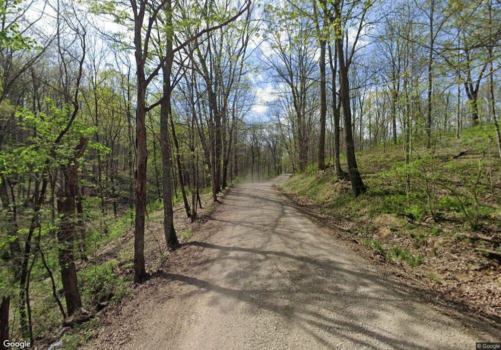
This home is located at 2029 SE Branch Rd SW, Malta, OH 43758 and is currently estimated at $280,357, approximately $143 per square foot. 2029 SE Branch Rd SW is a home located in Morgan County with nearby schools including Morgan High School.
Ownership History
Date
Name
Owned For
Owner Type
Purchase Details
Closed on
Sep 27, 2019
Sold by
Birkhimer Rhonda and Birkhimer Jeffrey
Bought by
Lemon Kevin M
Current Estimated Value
Home Financials for this Owner
Home Financials are based on the most recent Mortgage that was taken out on this home.
Original Mortgage
$27,140
Outstanding Balance
$14,968
Interest Rate
3.5%
Mortgage Type
Commercial
Estimated Equity
$265,389
Purchase Details
Closed on
Jul 27, 2017
Bought by
Lemon Roger Et7al
Purchase Details
Closed on
Jul 8, 2015
Bought by
Lemon Roger Et5al
Purchase Details
Closed on
Nov 15, 1996
Sold by
Lemon Jerry C
Bought by
Lemon Jerry C
Purchase Details
Closed on
May 29, 1996
Sold by
Burger Harold M
Bought by
Lemon Jerry C
Create a Home Valuation Report for This Property
The Home Valuation Report is an in-depth analysis detailing your home's value as well as a comparison with similar homes in the area
Home Values in the Area
Average Home Value in this Area
Purchase History
| Date | Buyer | Sale Price | Title Company |
|---|---|---|---|
| Lemon Kevin M | $28,000 | None Available | |
| Lemon Roger Et7al | -- | -- | |
| Lemon Roger Et5al | -- | -- | |
| Lemon Jerry C | -- | -- | |
| Lemon Jerry C | $18,900 | -- |
Source: Public Records
Mortgage History
| Date | Status | Borrower | Loan Amount |
|---|---|---|---|
| Open | Lemon Kevin M | $27,140 |
Source: Public Records
Tax History Compared to Growth
Tax History
| Year | Tax Paid | Tax Assessment Tax Assessment Total Assessment is a certain percentage of the fair market value that is determined by local assessors to be the total taxable value of land and additions on the property. | Land | Improvement |
|---|---|---|---|---|
| 2024 | $2,864 | $90,510 | $14,090 | $76,420 |
| 2023 | $2,013 | $63,070 | $11,480 | $51,590 |
| 2022 | $532 | $16,670 | $11,480 | $5,190 |
| 2021 | $537 | $16,670 | $11,480 | $5,190 |
| 2020 | $278 | $15,160 | $10,430 | $4,730 |
| 2019 | $504 | $15,160 | $10,430 | $4,730 |
| 2018 | $548 | $17,100 | $10,430 | $6,670 |
| 2017 | $553 | $16,874 | $10,945 | $5,929 |
| 2016 | $555 | $16,874 | $10,945 | $5,929 |
| 2015 | $555 | $16,874 | $10,945 | $5,929 |
| 2014 | $351 | $16,874 | $10,945 | $5,929 |
| 2013 | $345 | $16,874 | $10,945 | $5,929 |
Source: Public Records
Map
Nearby Homes
- 1445 E Branch Rd
- 1445 E Branch Rd Unit R
- 8445 Pigsah Church Ln
- 8445 Pisgah Church Ln
- 581 Butler Rd
- 360 Glass Rd NW
- 10219 Paulette Dr
- 0 Morganville Rd Unit 225017374
- 0 Morganville Rd Unit 5123894
- 142 Church St
- 136 Jones St
- 0 Thresher St
- 135 S Valley St
- 207 W Main St
- 221 Washington St
- 6495 Township Road 293 SE
- 0 Red Rock Rd
- 11829 Red Rock Rd
- 10271 Antle Orchard Rd
- Lambert Rd
- 3220 County Road 15
- 1940 SE Branch Rd SW
- 1885 E Branch Rd
- 2225 SE Branch Rd SW
- 1880 E Branch Rd
- 9490 SE Branch Church Rd
- 9250 SE Branch Church Rd
- 9250 SE Branch Church Rd
- 9450 SE Branch Church Rd
- 9245 E Branch Church Rd
- 0 E Branch Church Rd
- 9243 E Branch Church Rd
- 9241 E Branch Church Rd
- 9240 E Branch Church Rd
- 9239 E Branch Church Rd
- 1942 E Branch Church Rd
- 9570 W Chappelear Rd SW
- 9595 E Branch Church Rd
- 1400 E Branch Rd
- 0 E Branch Rd Unit 4039498
