2029 Stringtown Rd Sparks Glencoe, MD 21152
Estimated Value: $523,000 - $688,000
--
Bed
2
Baths
2,146
Sq Ft
$279/Sq Ft
Est. Value
About This Home
This home is located at 2029 Stringtown Rd, Sparks Glencoe, MD 21152 and is currently estimated at $599,343, approximately $279 per square foot. 2029 Stringtown Rd is a home located in Baltimore County with nearby schools including Sparks Elementary School, Hereford Middle School, and Hereford High School.
Ownership History
Date
Name
Owned For
Owner Type
Purchase Details
Closed on
Jan 14, 2005
Sold by
Nest Gladys R
Bought by
Pedone Michael T
Current Estimated Value
Home Financials for this Owner
Home Financials are based on the most recent Mortgage that was taken out on this home.
Original Mortgage
$328,000
Outstanding Balance
$164,010
Interest Rate
5.81%
Mortgage Type
New Conventional
Estimated Equity
$435,333
Create a Home Valuation Report for This Property
The Home Valuation Report is an in-depth analysis detailing your home's value as well as a comparison with similar homes in the area
Home Values in the Area
Average Home Value in this Area
Purchase History
| Date | Buyer | Sale Price | Title Company |
|---|---|---|---|
| Pedone Michael T | $410,000 | -- |
Source: Public Records
Mortgage History
| Date | Status | Borrower | Loan Amount |
|---|---|---|---|
| Open | Pedone Michael T | $328,000 | |
| Closed | Pedone Michael T | $56,000 |
Source: Public Records
Tax History Compared to Growth
Tax History
| Year | Tax Paid | Tax Assessment Tax Assessment Total Assessment is a certain percentage of the fair market value that is determined by local assessors to be the total taxable value of land and additions on the property. | Land | Improvement |
|---|---|---|---|---|
| 2025 | $5,300 | $465,000 | $132,300 | $332,700 |
| 2024 | $5,300 | $436,267 | $0 | $0 |
| 2023 | $4,999 | $407,533 | $0 | $0 |
| 2022 | $4,609 | $378,800 | $126,300 | $252,500 |
| 2021 | $4,365 | $367,000 | $0 | $0 |
| 2020 | $4,365 | $355,200 | $0 | $0 |
| 2019 | $4,222 | $343,400 | $126,300 | $217,100 |
| 2018 | $4,111 | $334,233 | $0 | $0 |
| 2017 | $3,964 | $325,067 | $0 | $0 |
| 2016 | -- | $315,900 | $0 | $0 |
| 2015 | $3,864 | $315,900 | $0 | $0 |
| 2014 | $3,864 | $315,900 | $0 | $0 |
Source: Public Records
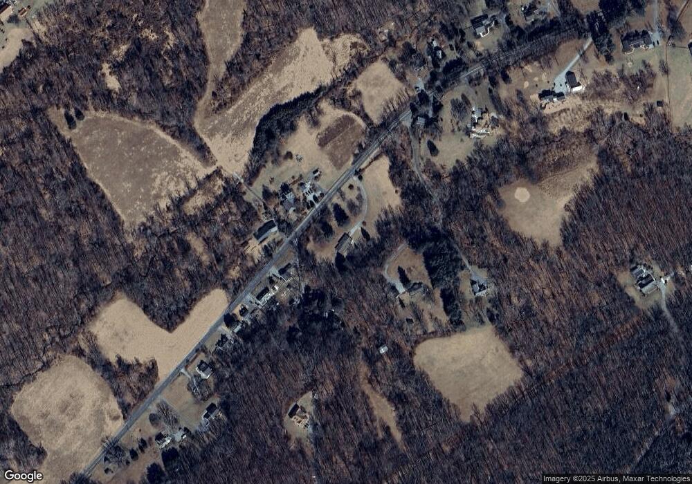
Map
Nearby Homes
- 2105 Stringtown Rd
- 15651 Duncan Hill Rd
- 0 Falls Rd Unit MDBC2120964
- 1211 Belfast Rd
- 14921 Tanyard Rd
- 1 Singletree Ct
- 16418 Cedar Grove Rd
- 1646 Worthington Heights Pkwy
- 1016 Cold Bottom Rd
- 1642 Worthington Heights Pkwy
- 1630 Worthington Heights Pkwy
- 14516 Cuba Rd
- 2310 Gadd Rd
- 42 Bush Cabin Ct
- 14323 ROAD Cuba Rd
- 15801 Ensor Mill Rd
- 0 Cuba Rd Unit MDBC2146194
- 14213 Greencroft Ln
- 927 Western Rd
- 14498 Western Rd Unit 2
- 2037 Stringtown Rd
- 2030 Stringtown Rd
- 2033 Stringtown Rd
- 2011 Stringtown Rd
- 2101 Stringtown Rd
- 2035 Stringtown Rd
- 2103 Stringtown Rd
- 2009 Stringtown Rd
- 2007 Stringtown Rd
- 2107 Stringtown Rd
- 15450 Duncan Hill Rd
- 2001 Stringtown Rd
- 2109 Stringtown Rd
- 2004 Stringtown Rd
- 2117 Stringtown Rd
- 1903 Stringtown Rd
- 1913 Stringtown Rd
- 1928 Stringtown Rd
- 2119 Stringtown Rd
- 1926 Stringtown Rd