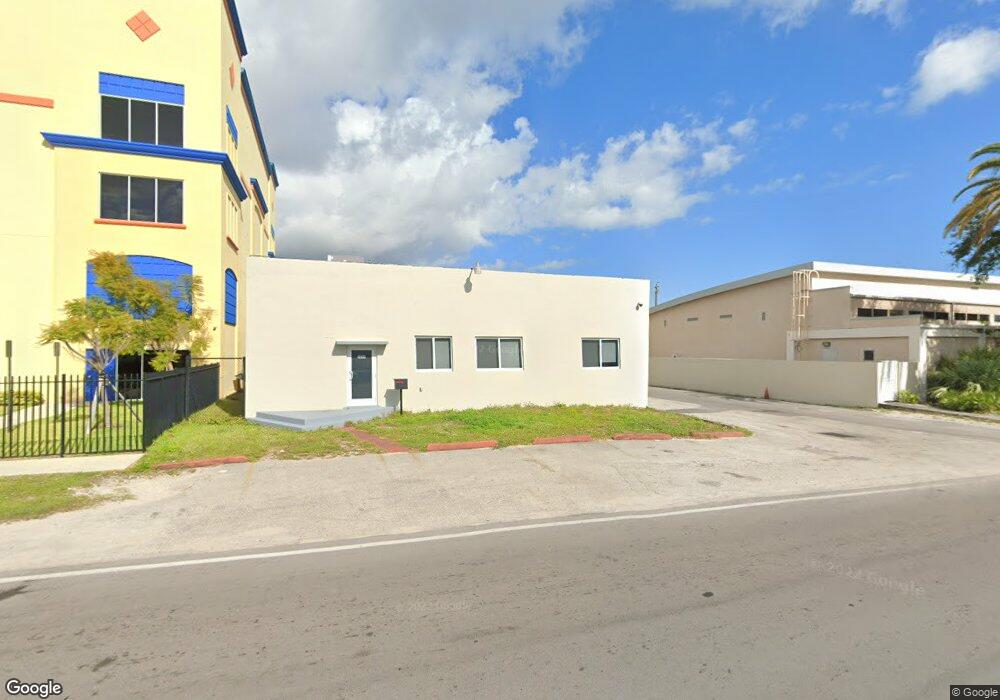
2029 Taft St Hollywood, FL 33020
Royal Poinciana NeighborhoodEstimated Value: $1,637,946
--
Bed
--
Bath
5,250
Sq Ft
$312/Sq Ft
Est. Value
About This Home
This home is located at 2029 Taft St, Hollywood, FL 33020 and is currently estimated at $1,637,946, approximately $311 per square foot. 2029 Taft St is a home located in Broward County with nearby schools including Dania Elementary School, Olsen Middle School, and South Broward High School.
Ownership History
Date
Name
Owned For
Owner Type
Purchase Details
Closed on
Oct 13, 2016
Sold by
2029 Taft Street Llc
Bought by
A S I Inc
Current Estimated Value
Purchase Details
Closed on
Oct 9, 2012
Sold by
Wells Fargo National Association
Bought by
2029 Taft Street Llc
Home Financials for this Owner
Home Financials are based on the most recent Mortgage that was taken out on this home.
Original Mortgage
$286,500
Interest Rate
3.58%
Mortgage Type
Commercial
Purchase Details
Closed on
Dec 6, 2011
Sold by
Medelia Communications Llc
Bought by
Wells Fargo National Association
Purchase Details
Closed on
Nov 1, 2005
Sold by
Jabfer Inc
Bought by
2029 Taft Llc
Create a Home Valuation Report for This Property
The Home Valuation Report is an in-depth analysis detailing your home's value as well as a comparison with similar homes in the area
Home Values in the Area
Average Home Value in this Area
Purchase History
| Date | Buyer | Sale Price | Title Company |
|---|---|---|---|
| A S I Inc | $724,000 | None Available | |
| 2029 Taft Street Llc | $328,000 | Florida Title Insurance Agen | |
| Wells Fargo National Association | -- | None Available | |
| 2029 Taft Llc | $865,000 | Legacy Title Services Inc |
Source: Public Records
Mortgage History
| Date | Status | Borrower | Loan Amount |
|---|---|---|---|
| Previous Owner | 2029 Taft Street Llc | $286,500 |
Source: Public Records
Tax History Compared to Growth
Tax History
| Year | Tax Paid | Tax Assessment Tax Assessment Total Assessment is a certain percentage of the fair market value that is determined by local assessors to be the total taxable value of land and additions on the property. | Land | Improvement |
|---|---|---|---|---|
| 2025 | $14,514 | $674,530 | -- | -- |
| 2024 | $12,558 | $674,530 | $120,110 | $437,360 |
| 2023 | $12,558 | $557,470 | $120,110 | $437,360 |
| 2022 | $11,686 | $524,500 | $0 | $0 |
| 2021 | $11,098 | $476,820 | $120,110 | $356,710 |
| 2020 | $15,422 | $682,900 | $120,110 | $562,790 |
| 2019 | $15,580 | $682,900 | $120,110 | $562,790 |
| 2018 | $16,089 | $727,130 | $120,110 | $607,020 |
| 2017 | $14,842 | $658,120 | $0 | $0 |
| 2016 | $9,440 | $387,970 | $0 | $0 |
| 2015 | $9,204 | $352,700 | $0 | $0 |
| 2014 | $9,711 | $377,760 | $0 | $0 |
| 2013 | -- | $352,180 | $161,050 | $191,130 |
Source: Public Records
Map
Nearby Homes
- 1708 N Dixie Hwy
- 1918 Taft St
- 1923 Roosevelt St
- 1611 N 22nd Ave
- 1917 Harding St
- 2210 Roosevelt St
- 1853 Taft St
- 1913 Harding St
- 2132 Mckinley St
- 2218 Harding St
- 2001 N 22nd Ave
- 2128 Cleveland St
- 2205 Coolidge St
- 2236 Taft St
- 1939 Arthur St
- 1219 N 20th Ave
- 1820 Coolidge St
- 1812 Roosevelt St
- 2227 Cleveland St
- 2231 Cleveland St
- 2057 Taft St
- 2008 Wilson St
- 2002 2002 Wilson St # 4 Unit 4
- 2002 Wilson St Unit 4
- 2002 Wilson St Unit 3
- 2002 Wilson St Unit 1
- 2002 Wilson St Unit 2
- 2002 Wilson St Unit 1-4
- 2002 Wilson St
- 1953 Taft St
- 2007 Wilson St
- 1800 N 20th Ave
- 1952 Wilson St
- 1945 Taft St Unit 1
- 1945 Taft St Unit 1947
- 1945 Taft St Unit B
- 1945 Taft St Unit A
- 1946 Wilson St
- 2016 Harding St
- 1950 Taft St