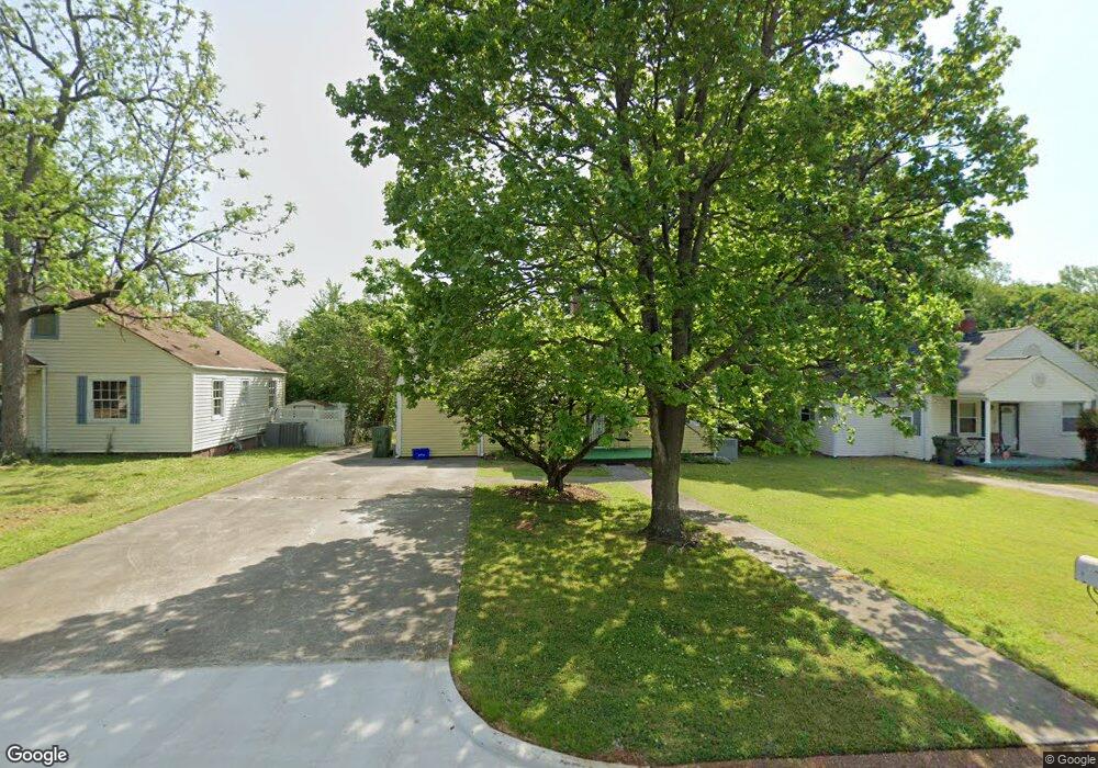
2029 Vanderbilt Dr SW Huntsville, AL 35801
Medical District NeighborhoodEstimated Value: $215,000 - $277,159
--
Bed
--
Bath
1,173
Sq Ft
$207/Sq Ft
Est. Value
About This Home
This home is located at 2029 Vanderbilt Dr SW, Huntsville, AL 35801 and is currently estimated at $242,290, approximately $206 per square foot. 2029 Vanderbilt Dr SW is a home with nearby schools including Blossomwood Elementary School, Huntsville Junior High School, and Huntsville High School.
Ownership History
Date
Name
Owned For
Owner Type
Purchase Details
Closed on
Dec 30, 2005
Sold by
Pilgreen Shelia Ann and Pilgreen Raymond Thomas
Bought by
Oneill Patrick J and Oflinn Mary R
Current Estimated Value
Home Financials for this Owner
Home Financials are based on the most recent Mortgage that was taken out on this home.
Original Mortgage
$85,000
Interest Rate
6.28%
Mortgage Type
New Conventional
Create a Home Valuation Report for This Property
The Home Valuation Report is an in-depth analysis detailing your home's value as well as a comparison with similar homes in the area
Home Values in the Area
Average Home Value in this Area
Purchase History
| Date | Buyer | Sale Price | Title Company |
|---|---|---|---|
| Oneill Patrick J | -- | -- |
Source: Public Records
Mortgage History
| Date | Status | Borrower | Loan Amount |
|---|---|---|---|
| Closed | Oneill Patrick J | $85,000 |
Source: Public Records
Tax History Compared to Growth
Tax History
| Year | Tax Paid | Tax Assessment Tax Assessment Total Assessment is a certain percentage of the fair market value that is determined by local assessors to be the total taxable value of land and additions on the property. | Land | Improvement |
|---|---|---|---|---|
| 2024 | $2,241 | $38,640 | $7,640 | $31,000 |
| 2023 | $2,241 | $38,640 | $7,640 | $31,000 |
| 2022 | $2,136 | $36,820 | $7,640 | $29,180 |
| 2021 | $2,015 | $34,740 | $5,560 | $29,180 |
| 2020 | $1,557 | $26,840 | $2,780 | $24,060 |
| 2019 | $1,557 | $26,840 | $2,780 | $24,060 |
| 2018 | $1,545 | $26,640 | $0 | $0 |
| 2017 | $1,545 | $26,640 | $0 | $0 |
| 2016 | $1,545 | $26,640 | $0 | $0 |
| 2015 | $1,739 | $29,980 | $0 | $0 |
| 2014 | $1,660 | $28,620 | $0 | $0 |
Source: Public Records
Map
Nearby Homes
- 1927 Vanderbilt Cir SW
- 1926 Vanderbilt Cir SW
- 2016 Sewanee Rd SW
- 2004 Sewanee Rd SW
- 2305 Billie Watkins St SW
- 2014 Summer St SW
- 207 Marsheutz Ave SW
- 205 Marsheutz Ave SW
- 203 Marsheutz Ave SW
- 201 Marsheutz Ave SW
- 2013 1st St SW
- 2024 SW 1st St
- 2534 Freeman Rd SW
- 2336 Brandon St SW
- 2542 Freeman Rd SW
- 2522 Roland Rd SW
- 2523 Roland Rd SW
- 2703 8th Ave SW
- 624 Vance Rd SW
- 2506 Poincianna St SW
- 2031 Vanderbilt Dr SW
- 2025 Vanderbilt Dr SW
- 2033 Vanderbilt Dr SW
- 2028 Vanderbilt Dr SW
- 2035 Vanderbilt Dr SW
- 2030 Vanderbilt Dr SW
- 2026 Vanderbilt Dr SW
- 2023 Vanderbilt Dr SW
- 2032 Vanderbilt Dr SW
- 2024 Vanderbilt Dr SW
- 2026 Stanford Dr SW
- 2024 Stanford Dr SW
- 2022 Stanford Dr SW
- 2028 Stanford Dr SW
- 2037 Vanderbilt Dr SW
- 2021 Vanderbilt Dr SW
- 2022 Vanderbilt Dr SW
- 2030 Stanford Dr SW
- 2020 Stanford Dr SW
- 1933 Vanderbilt Cir SW