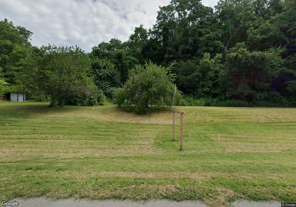
20290 State Route 60 Beverly, OH 45715
Estimated Value: $102,000 - $152,000
3
Beds
2
Baths
1,250
Sq Ft
$96/Sq Ft
Est. Value
About This Home
This home is located at 20290 State Route 60, Beverly, OH 45715 and is currently estimated at $120,569, approximately $96 per square foot. 20290 State Route 60 is a home located in Washington County with nearby schools including Fort Frye High School.
Ownership History
Date
Name
Owned For
Owner Type
Purchase Details
Closed on
Jul 2, 2015
Sold by
D R C River Properties
Bought by
Drc River Properties Llc
Current Estimated Value
Purchase Details
Closed on
Apr 15, 2015
Sold by
Nemmer Joanne R
Bought by
D R C River Properties
Purchase Details
Closed on
May 20, 2013
Sold by
Secretary Of Housing & Urban Development
Bought by
Carna Gary
Purchase Details
Closed on
Nov 7, 2012
Sold by
Wellman Michelle L and Estep Robert C
Bought by
Flagstar Bank Fsb
Purchase Details
Closed on
Apr 8, 2006
Sold by
Harmon Evelyn M
Bought by
Ruble Matthew and Ruble Stephanie L
Home Financials for this Owner
Home Financials are based on the most recent Mortgage that was taken out on this home.
Original Mortgage
$47,500
Interest Rate
6.34%
Mortgage Type
Purchase Money Mortgage
Purchase Details
Closed on
Mar 31, 1986
Bought by
Harmon Evelyn M
Create a Home Valuation Report for This Property
The Home Valuation Report is an in-depth analysis detailing your home's value as well as a comparison with similar homes in the area
Home Values in the Area
Average Home Value in this Area
Purchase History
| Date | Buyer | Sale Price | Title Company |
|---|---|---|---|
| Drc River Properties Llc | -- | Attorney | |
| D R C River Properties | $41,000 | None Available | |
| Carna Gary | -- | Attorney | |
| Flagstar Bank Fsb | $54,000 | Attorney | |
| Ruble Matthew | $50,000 | None Available | |
| Harmon Evelyn M | -- | -- |
Source: Public Records
Mortgage History
| Date | Status | Borrower | Loan Amount |
|---|---|---|---|
| Previous Owner | Ruble Matthew | $47,500 |
Source: Public Records
Tax History Compared to Growth
Tax History
| Year | Tax Paid | Tax Assessment Tax Assessment Total Assessment is a certain percentage of the fair market value that is determined by local assessors to be the total taxable value of land and additions on the property. | Land | Improvement |
|---|---|---|---|---|
| 2024 | $666 | $21,250 | $16,810 | $4,440 |
| 2023 | $634 | $21,250 | $16,810 | $4,440 |
| 2022 | $635 | $21,250 | $16,810 | $4,440 |
| 2021 | $514 | $16,680 | $14,120 | $2,560 |
| 2020 | $514 | $16,680 | $14,120 | $2,560 |
| 2019 | $513 | $16,680 | $14,120 | $2,560 |
| 2018 | $485 | $15,390 | $12,830 | $2,560 |
| 2017 | $823 | $26,660 | $12,830 | $13,830 |
| 2016 | $1,597 | $26,660 | $12,830 | $13,830 |
| 2015 | $937 | $29,160 | $12,360 | $16,800 |
| 2014 | $1,737 | $29,160 | $12,360 | $16,800 |
| 2013 | $470 | $29,160 | $12,360 | $16,800 |
Source: Public Records
Map
Nearby Homes
- 6 Spring St
- 21870 State Route 339
- 200 Pennock Dr Unit Lot 37
- 4 Center St
- 717 Mitchell Ave
- 5 Center St
- 206 4th St
- 500 Applegate Dr
- 3 Center St
- 0 Ohio 339
- 1240 Hayesville Rd
- 590 Stony Run Rd
- 3707 Righteous Ridge Rd
- 548 Coal Run Dr
- 1550 Swift Rd
- 497 Wilson Dr
- 4150 Watertown Rd
- 3130 Ohio 266
- 5855 Olney Run Rd
- 35415 Hanson Rd
- 20290 Ohio 60
- 20250 State Route 60
- 20220 State Route 60
- 20300 State Route 60
- 20330 State Route 60
- 20370 State Route 60
- 20350 State Route 60
- 20390 State Route 60
- 20420 State Route 60
- 20476 State Route 60
- 20317 State Route 60
- 20440 State Route 60
- 20435 State Route 60
- 20460 State Route 60
- 20475 State Route 60
- 20470 State Route 60
- 4130 Sparling Rd
- 1040 Woodland Ave
- 2232 Ohio 83
- 2790 Ohio 83
