20294 Sampson Rd Peyton, CO 80831
Estimated Value: $707,633 - $818,000
7
Beds
3
Baths
4,106
Sq Ft
$186/Sq Ft
Est. Value
About This Home
This home is located at 20294 Sampson Rd, Peyton, CO 80831 and is currently estimated at $762,817, approximately $185 per square foot. 20294 Sampson Rd is a home located in El Paso County with nearby schools including Peyton Elementary School and Peyton Senior High School.
Ownership History
Date
Name
Owned For
Owner Type
Purchase Details
Closed on
May 27, 2003
Sold by
Fields Danny W
Bought by
Fields Danny W and Fields Charlotte L
Current Estimated Value
Home Financials for this Owner
Home Financials are based on the most recent Mortgage that was taken out on this home.
Original Mortgage
$143,500
Outstanding Balance
$60,515
Interest Rate
5.74%
Mortgage Type
Unknown
Estimated Equity
$702,302
Purchase Details
Closed on
Jul 11, 2001
Sold by
Fields Danny W
Bought by
Fields Danny W and Fields Charlotte L
Purchase Details
Closed on
Sep 15, 1997
Sold by
Jds Mtg & Investments Inc
Bought by
Fields Danny W
Home Financials for this Owner
Home Financials are based on the most recent Mortgage that was taken out on this home.
Original Mortgage
$77,500
Interest Rate
9.75%
Purchase Details
Closed on
Apr 29, 1997
Sold by
Heupel Larry E and Heupel Lynda L
Bought by
Jds Mtg & Investment Inc
Purchase Details
Closed on
Apr 20, 1995
Sold by
Huneycutt Judith Ann
Bought by
Heupel Larry E and Heupel Lynda L
Home Financials for this Owner
Home Financials are based on the most recent Mortgage that was taken out on this home.
Original Mortgage
$26,687
Interest Rate
18%
Mortgage Type
Seller Take Back
Purchase Details
Closed on
May 13, 1994
Sold by
Schultz Mark A and Schultz Desiree R
Bought by
Huneycutt Judith Ann
Home Financials for this Owner
Home Financials are based on the most recent Mortgage that was taken out on this home.
Original Mortgage
$20,000
Interest Rate
8.03%
Purchase Details
Closed on
Jun 3, 1992
Bought by
Fields Danny W
Purchase Details
Closed on
Aug 9, 1991
Bought by
Fields Danny W
Purchase Details
Closed on
Dec 2, 1986
Bought by
Fields Danny W
Purchase Details
Closed on
Oct 14, 1986
Bought by
Fields Danny W
Purchase Details
Closed on
Oct 1, 1986
Bought by
Fields Danny W
Purchase Details
Closed on
Jul 18, 1977
Bought by
Fields Danny W
Create a Home Valuation Report for This Property
The Home Valuation Report is an in-depth analysis detailing your home's value as well as a comparison with similar homes in the area
Home Values in the Area
Average Home Value in this Area
Purchase History
| Date | Buyer | Sale Price | Title Company |
|---|---|---|---|
| Fields Danny W | -- | Commonwealth Title | |
| Fields Danny W | -- | Commonwealth Title | |
| Fields Danny W | -- | -- | |
| Fields Danny W | $149,900 | Stewart Title | |
| Jds Mtg & Investment Inc | $103,584 | -- | |
| Heupel Larry E | $79,000 | -- | |
| Huneycutt Judith Ann | -- | -- | |
| Fields Danny W | -- | -- | |
| Fields Danny W | $30,000 | -- | |
| Fields Danny W | -- | -- | |
| Fields Danny W | $24,000 | -- | |
| Fields Danny W | -- | -- | |
| Fields Danny W | -- | -- |
Source: Public Records
Mortgage History
| Date | Status | Borrower | Loan Amount |
|---|---|---|---|
| Open | Fields Danny W | $143,500 | |
| Closed | Fields Danny W | $77,500 | |
| Previous Owner | Heupel Larry E | $26,687 | |
| Previous Owner | Huneycutt Judith Ann | $20,000 | |
| Closed | Heupel Larry E | $57,136 |
Source: Public Records
Tax History
| Year | Tax Paid | Tax Assessment Tax Assessment Total Assessment is a certain percentage of the fair market value that is determined by local assessors to be the total taxable value of land and additions on the property. | Land | Improvement |
|---|---|---|---|---|
| 2025 | $1,809 | $55,240 | -- | -- |
| 2024 | $1,364 | $46,250 | $11,630 | $34,620 |
| 2023 | $1,364 | $46,250 | $11,630 | $34,620 |
| 2022 | $1,308 | $35,420 | $9,360 | $26,060 |
| 2021 | $1,742 | $36,440 | $9,630 | $26,810 |
| 2020 | $1,682 | $34,180 | $8,080 | $26,100 |
| 2019 | $1,654 | $34,180 | $8,080 | $26,100 |
| 2018 | $1,332 | $26,770 | $6,240 | $20,530 |
| 2017 | $1,324 | $26,770 | $6,240 | $20,530 |
| 2016 | $1,257 | $25,380 | $6,000 | $19,380 |
| 2015 | $1,252 | $25,380 | $6,000 | $19,380 |
| 2014 | $1,150 | $23,040 | $6,000 | $17,040 |
Source: Public Records
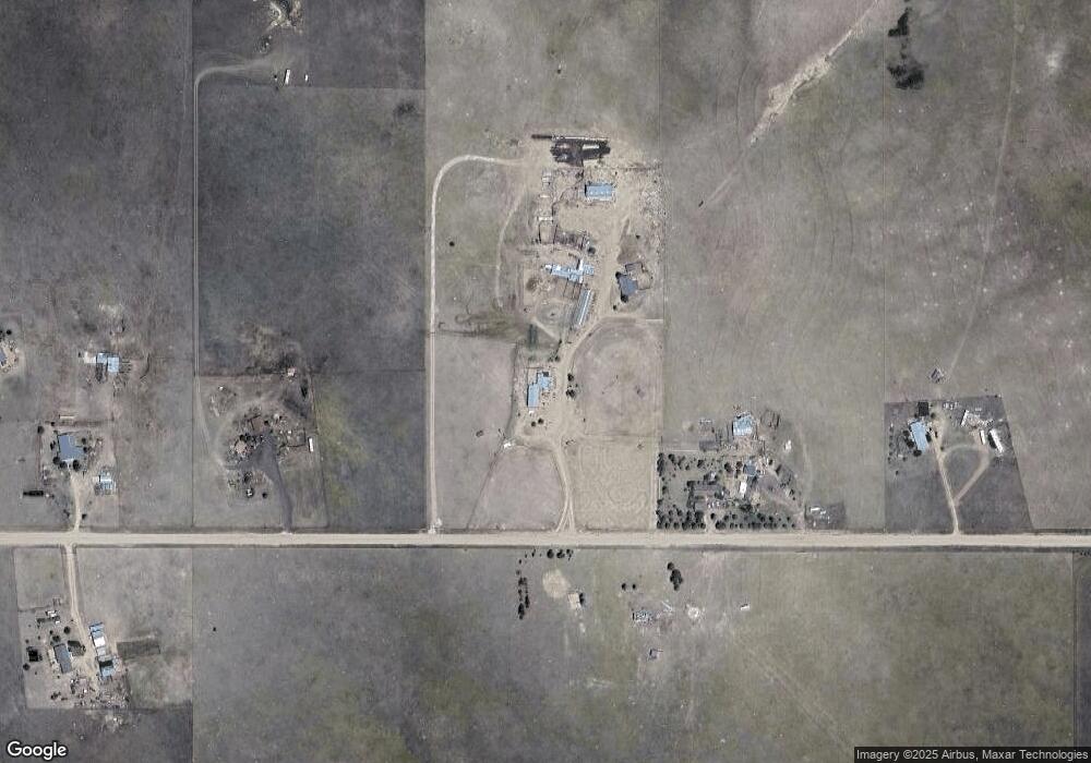
Map
Nearby Homes
- 11860 Eureka Rd
- 20713 Blue Springs View
- 20533 Blue Springs View
- 11987 Peyton Hwy
- 19530 Cheryl Grove
- 18702 Longhorn Acres Trail
- 13886 Log Rd
- 3780 Log Rd
- 3920 Log Rd
- 14333 Smith Ranch Rd
- 10985 Highway 24
- 18415 Main St
- 21875 E Highway 24 Hwy
- 17940 Countdown Dr
- 11603 Bradshaw Rd
- 14350 Bradshaw Rd
- Tract 7 Mcclelland Rd
- Tract 6 Mcclelland Rd
- Tract 21 Mcclelland Rd
- 22835 Farmhouse Ct
- 20340 Sampson Rd
- 20090 Sampson Rd
- 20450 Sampson Rd
- 19984 Sampson Rd
- 19983 Sampson Rd
- 20594 Sampson Rd
- 12005 Carpenter Rd
- 20730 Sampson Rd
- 20353 Blue Springs View
- 20150 Scott Rd
- 20562 Scott Rd
- 11760 Eureka Rd
- 20893 Blue Springs View
- 19850 Scott Rd
- 20360 Belinda Dr
- 20310 Belinda Dr
- Lot 11 Scott Rd
- 20983 Blue Springs View
- 20420 Belinda Dr
- 20470 Belinda Dr
Your Personal Tour Guide
Ask me questions while you tour the home.