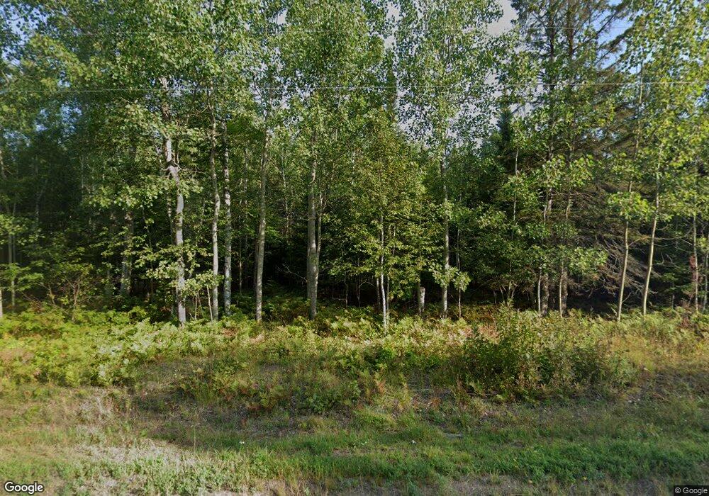
20296 State Highway M203 Calumet, MI 49913
Estimated Value: $448,000 - $527,384
2
Beds
1
Bath
2,988
Sq Ft
$163/Sq Ft
Est. Value
About This Home
This home is located at 20296 State Highway M203, Calumet, MI 49913 and is currently estimated at $487,692, approximately $163 per square foot. 20296 State Highway M203 is a home located in Houghton County with nearby schools including Barkell Elementary School and Hancock Middle/High School.
Ownership History
Date
Name
Owned For
Owner Type
Purchase Details
Closed on
May 19, 2021
Sold by
Froese and Erin
Bought by
Looney James L and Strohl Susan G
Current Estimated Value
Purchase Details
Closed on
Jun 26, 2017
Sold by
Neufeld Jonathan M and Neufeld Gail A
Bought by
Froese Robert and Froese Erin
Home Financials for this Owner
Home Financials are based on the most recent Mortgage that was taken out on this home.
Original Mortgage
$219,200
Interest Rate
4.05%
Mortgage Type
New Conventional
Create a Home Valuation Report for This Property
The Home Valuation Report is an in-depth analysis detailing your home's value as well as a comparison with similar homes in the area
Home Values in the Area
Average Home Value in this Area
Purchase History
| Date | Buyer | Sale Price | Title Company |
|---|---|---|---|
| Looney James L | $380,000 | Keweenaw Title Agcy | |
| Froese Robert | $274,000 | Keweenaw Title Agcy |
Source: Public Records
Mortgage History
| Date | Status | Borrower | Loan Amount |
|---|---|---|---|
| Previous Owner | Froese Robert | $219,200 |
Source: Public Records
Tax History Compared to Growth
Tax History
| Year | Tax Paid | Tax Assessment Tax Assessment Total Assessment is a certain percentage of the fair market value that is determined by local assessors to be the total taxable value of land and additions on the property. | Land | Improvement |
|---|---|---|---|---|
| 2025 | $8,408 | $249,900 | $0 | $0 |
| 2024 | $2,186 | $209,000 | $0 | $0 |
| 2023 | $1,910 | $175,800 | $0 | $0 |
| 2022 | $6,709 | $133,100 | $0 | $0 |
| 2021 | $4,114 | $124,200 | $0 | $0 |
| 2020 | $4,163 | $125,640 | $0 | $0 |
| 2019 | $4,161 | $137,401 | $0 | $0 |
| 2018 | $4,092 | $121,700 | $0 | $0 |
| 2017 | $2,712 | $119,170 | $0 | $0 |
| 2016 | -- | $110,394 | $0 | $0 |
| 2015 | -- | $95,820 | $0 | $0 |
| 2014 | -- | $84,444 | $0 | $0 |
Source: Public Records
Map
Nearby Homes
- 57487 Lakeshore Dr
- 19890 Wildwood Rd
- 54509 Salo Rd
- 0 Lakeshore Dr
- TBD Oikarinen Rd
- 52923 Lake Annie Rd
- 57225 3rd St
- 57237 2nd St
- 54866 Tecumseh Rd
- 52950 Red Brick Rd
- 25220 Maple St
- 57163 10th St
- 25417 Elm St
- 806 Pine St
- 54921 Us Highway 41
- 25617 D St
- TBD Michigan 203
- 56430 Middle St Unit 56432 Middle St
- 56343 U S 41
- TBD7 Us 41 Hwy
- 20296 Michigan 203
- 22251 Hwy M203
- 57177 Lakeshore Dr
- 57177 Lakeshore Dr
- 57201 Lakeshore Dr
- 57155 Lakeshore Dr
- 57155 Lakeshore Dr
- 57127 Lakeshore Dr
- 57115 Lakeshore Dr
- 57101 Lakeshore Dr
- 57249 Lakeshore Dr
- 57249 Lakeshore Dr
- 57249 Lakeshore Dr
- 57249 Lakeshore Dr
- 20586 State Highway M203
- 57275 Lakeshore Dr
- 57281 Lakeshore Dr
- 20625 State Highway M203
- 20590 State Highway M203
- 57498 Lakeshore Dr
