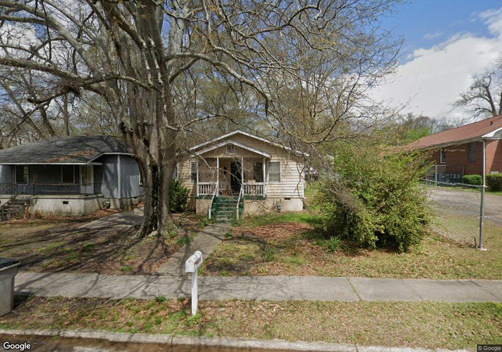
203 1/2 E Crovat St Lagrange, GA 30241
Estimated Value: $56,000 - $125,000
2
Beds
1
Bath
990
Sq Ft
$98/Sq Ft
Est. Value
About This Home
This home is located at 203 1/2 E Crovat St, Lagrange, GA 30241 and is currently estimated at $96,658, approximately $97 per square foot. 203 1/2 E Crovat St is a home with nearby schools including Callaway Elementary School, Hogansville Elementary School, and Callaway Middle School.
Ownership History
Date
Name
Owned For
Owner Type
Purchase Details
Closed on
Mar 22, 2024
Sold by
Don Raineys Food Store Inc
Bought by
Smith Ricky Lamar
Current Estimated Value
Purchase Details
Closed on
Mar 1, 1989
Bought by
Don Rainey Food Store Inc
Purchase Details
Closed on
Feb 1, 1989
Sold by
Mildred A Mallory
Purchase Details
Closed on
Dec 29, 1978
Sold by
Mildred George and Mildred Mallory
Bought by
Mildred A Mallory
Purchase Details
Closed on
Jan 1, 1964
Sold by
John L Lay
Bought by
Mildred George and Mildred Mallory
Create a Home Valuation Report for This Property
The Home Valuation Report is an in-depth analysis detailing your home's value as well as a comparison with similar homes in the area
Home Values in the Area
Average Home Value in this Area
Purchase History
| Date | Buyer | Sale Price | Title Company |
|---|---|---|---|
| Smith Ricky Lamar | $350,000 | -- | |
| Don Rainey Food Store Inc | -- | -- | |
| -- | -- | -- | |
| Mildred A Mallory | -- | -- | |
| Mildred George | -- | -- |
Source: Public Records
Tax History Compared to Growth
Tax History
| Year | Tax Paid | Tax Assessment Tax Assessment Total Assessment is a certain percentage of the fair market value that is determined by local assessors to be the total taxable value of land and additions on the property. | Land | Improvement |
|---|---|---|---|---|
| 2024 | $549 | $20,120 | $2,960 | $17,160 |
| 2023 | $491 | $18,000 | $2,960 | $15,040 |
| 2022 | $477 | $17,080 | $2,960 | $14,120 |
| 2021 | $263 | $8,720 | $1,760 | $6,960 |
| 2020 | $263 | $8,720 | $1,760 | $6,960 |
| 2019 | $272 | $9,030 | $1,350 | $7,680 |
| 2018 | $272 | $9,030 | $1,350 | $7,680 |
| 2017 | $272 | $9,030 | $1,350 | $7,680 |
| 2016 | $268 | $8,871 | $1,350 | $7,521 |
| 2015 | $267 | $8,853 | $1,332 | $7,521 |
| 2014 | $314 | $10,390 | $1,784 | $8,606 |
| 2013 | -- | $11,103 | $1,784 | $9,319 |
Source: Public Records
Map
Nearby Homes
- 109 Bell St
- 0 E Fendig St
- 113 E Fendig St
- 901 Whiteline St
- 101 Cedar St
- 303 E Mulberry St
- 0 Boggs St Unit 10550243
- 0 Boggs St Unit 10550231
- 0 Boggs St Unit 10550239
- 0 Boggs St Unit 10550250
- 311 Colquitt St
- 501 Milam St
- 0 Bagley St
- 304 Butler St
- 205 Fannin St
- 203 Fannin St
- 200 Mccall St
- W W Crovat St
- 1191 Whitesville St
- 0 Brown St Unit 10550761
- 203 E Crovat St
- 203 E Crovat St
- 206 1/2 E Crovat St
- 206 E Crovat St
- 204 E Crovat St
- 202 E Crovat St
- 200 E Crovat St
- 202 Wright St
- 121 E Crovat St
- 204 Wright St
- 200 Wright St
- 206 Wright St
- 124 E Crovat St
- 213 E Crovat St
- 208 Wright St
- E E Crovat St
- 122 E Crovat St
- 214 E Crovat St
- 210 Wright St
- 0 Wright St Unit 8527456