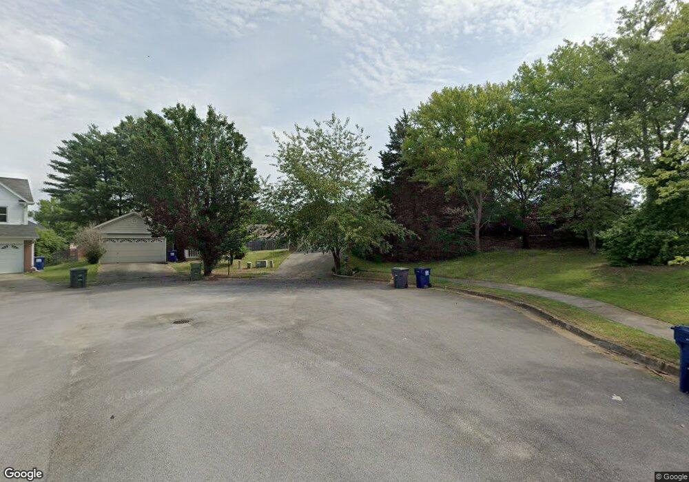
203 Albany Dr NE Huntsville, AL 35811
Ryland NeighborhoodEstimated Value: $216,164 - $250,000
--
Bed
--
Bath
1,220
Sq Ft
$192/Sq Ft
Est. Value
About This Home
This home is located at 203 Albany Dr NE, Huntsville, AL 35811 and is currently estimated at $234,541, approximately $192 per square foot. 203 Albany Dr NE is a home with nearby schools including Chapman Elementary School, Chapman Middle School, and Lee High School.
Ownership History
Date
Name
Owned For
Owner Type
Purchase Details
Closed on
Nov 12, 2020
Sold by
Macmillan Danny Lee and Macmillan Marina
Bought by
Macmillan Marina
Current Estimated Value
Purchase Details
Closed on
Jun 27, 2008
Sold by
Macmillan Danny Lee and Macmillan Marina
Bought by
Macmillan Danny Lee and Macmillan Marina
Home Financials for this Owner
Home Financials are based on the most recent Mortgage that was taken out on this home.
Original Mortgage
$117,638
Interest Rate
6.27%
Mortgage Type
FHA
Create a Home Valuation Report for This Property
The Home Valuation Report is an in-depth analysis detailing your home's value as well as a comparison with similar homes in the area
Home Values in the Area
Average Home Value in this Area
Purchase History
| Date | Buyer | Sale Price | Title Company |
|---|---|---|---|
| Macmillan Marina | $28,887 | None Available | |
| Macmillan Danny Lee | -- | -- |
Source: Public Records
Mortgage History
| Date | Status | Borrower | Loan Amount |
|---|---|---|---|
| Previous Owner | Macmillan Danny Lee | $117,638 |
Source: Public Records
Tax History Compared to Growth
Tax History
| Year | Tax Paid | Tax Assessment Tax Assessment Total Assessment is a certain percentage of the fair market value that is determined by local assessors to be the total taxable value of land and additions on the property. | Land | Improvement |
|---|---|---|---|---|
| 2024 | $993 | $19,700 | $4,760 | $14,940 |
| 2023 | $993 | $15,960 | $4,000 | $11,960 |
| 2022 | $723 | $13,300 | $2,760 | $10,540 |
| 2021 | $678 | $12,520 | $2,760 | $9,760 |
| 2020 | $577 | $10,780 | $2,000 | $8,780 |
| 2019 | $559 | $10,450 | $2,000 | $8,450 |
| 2018 | $537 | $10,080 | $0 | $0 |
| 2017 | $523 | $9,840 | $0 | $0 |
| 2016 | $523 | $9,840 | $0 | $0 |
| 2015 | $523 | $9,840 | $0 | $0 |
| 2014 | $518 | $9,760 | $0 | $0 |
Source: Public Records
Map
Nearby Homes
- 109 Bridgestone Dr NE
- 1604 Calistoga Cir NE
- 1602 Calistoga Cir NE
- 1608 Calistoga Cir NE
- 1610 Calistoga Cir NE
- 1612 Calistoga Cir NE
- 1613 Calistoga Cir NE
- 1617 Calistoga Cir NE
- 137 Bridgestone Dr NE
- 143 Bridgestone Dr NE
- 2100 Kanteen St NE
- 2102 Kanteen St NE
- 2106 Kanteen St NE
- 2104 Kanteen St NE
- 149 Bridgestone Dr NE
- The Rainier Plan at Trailhead - Park Series
- The Acadia Plan at Trailhead - Park Series
- Yosemite Plan at Trailhead - Park Series
- The Tacoma at The Cove Plan at Trailhead - Cove Series
- The Yellowstone Plan at Trailhead - Park Series
- 201 Albany Dr NE
- 104 Blackoak Dr NE
- 104 Black Oak Dr NE
- 205 Albany Dr NE
- 200 Albany Dr NE
- 102 Blackoak Dr NE
- 130 Valley Stone Rd
- 106 Black Oak Dr NE
- 106 Blackoak Dr NE
- 132 Valley Stone Rd
- 202 Albany Dr NE
- 207 Albany Dr NE
- 123 Hollington Dr NE
- 204 Albany Dr NE
- 125 Hollington Dr NE
- 121 Hollington Dr NE
- 127 Hollington Dr NE
- 206 Albany Dr NE
- 209 Albany Dr NE
- 129 Hollington Dr NE
