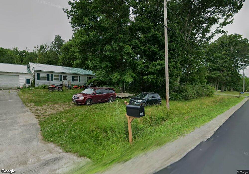
203 Albion Rd Benton, ME 04901
Estimated Value: $235,980
3
Beds
1
Bath
1,040
Sq Ft
$227/Sq Ft
Est. Value
About This Home
This home is located at 203 Albion Rd, Benton, ME 04901 and is currently estimated at $235,980, approximately $226 per square foot. 203 Albion Rd is a home located in Kennebec County with nearby schools including Lawrence High School.
Ownership History
Date
Name
Owned For
Owner Type
Purchase Details
Closed on
Dec 19, 2008
Sold by
Skehan Michelle A and Skehan Robert A
Bought by
Courtois Cory
Current Estimated Value
Home Financials for this Owner
Home Financials are based on the most recent Mortgage that was taken out on this home.
Original Mortgage
$108,468
Outstanding Balance
$72,159
Interest Rate
6.27%
Mortgage Type
FHA
Estimated Equity
$163,821
Create a Home Valuation Report for This Property
The Home Valuation Report is an in-depth analysis detailing your home's value as well as a comparison with similar homes in the area
Home Values in the Area
Average Home Value in this Area
Purchase History
| Date | Buyer | Sale Price | Title Company |
|---|---|---|---|
| Courtois Cory | -- | -- |
Source: Public Records
Mortgage History
| Date | Status | Borrower | Loan Amount |
|---|---|---|---|
| Open | Courtois Cory | $108,468 |
Source: Public Records
Tax History Compared to Growth
Tax History
| Year | Tax Paid | Tax Assessment Tax Assessment Total Assessment is a certain percentage of the fair market value that is determined by local assessors to be the total taxable value of land and additions on the property. | Land | Improvement |
|---|---|---|---|---|
| 2024 | $2,412 | $166,360 | $35,630 | $130,730 |
| 2023 | $2,146 | $166,360 | $35,630 | $130,730 |
| 2022 | $2,163 | $166,360 | $35,630 | $130,730 |
| 2021 | $1,738 | $97,650 | $26,680 | $70,970 |
| 2020 | $1,533 | $97,650 | $26,680 | $70,970 |
| 2019 | $1,475 | $97,650 | $26,680 | $70,970 |
| 2018 | $1,426 | $97,650 | $26,680 | $70,970 |
| 2017 | $1,406 | $97,650 | $26,680 | $70,970 |
| 2016 | $1,338 | $97,650 | $26,680 | $70,970 |
| 2015 | $1,318 | $97,650 | $26,680 | $70,970 |
| 2014 | $1,328 | $97,650 | $26,680 | $70,970 |
| 2013 | $1,279 | $97,650 | $26,680 | $70,970 |
Source: Public Records
Map
Nearby Homes
- 151 Bangor Rd
- 237 Neck Rd
- 4 Willis Rd
- 987 Clinton Ave
- 199 Neck Rd
- 595 Bangor Rd
- 187 Richards Rd
- 248 Bellsqueeze Rd
- 246 Bellsqueeze Rd
- 854 Abbott Rd
- 0 Hanscom Rd
- 171 River Rd
- 3 Bunker Ave
- 436 N Pond Rd
- 208 Pleasant St
- 16 Newhall St
- 6 Pleasant St
- 501 Clinton Ave
- 0 Olde Heritage Map 10 Lot 77-3 Place Unit 1628289
- 80 High St