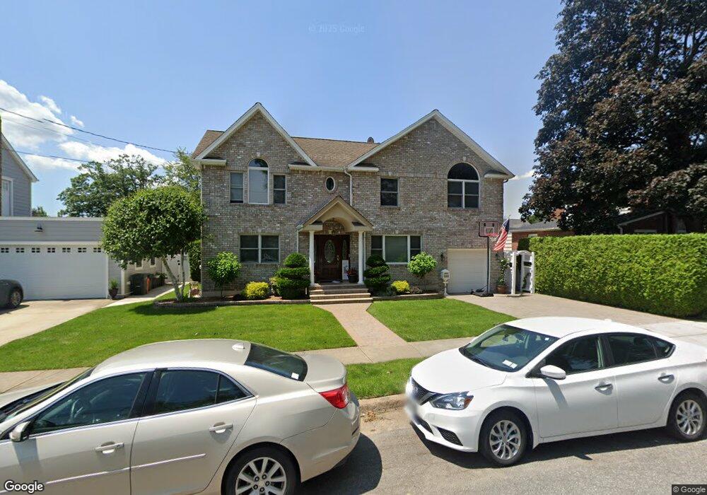
203 Andrews Rd Mineola, NY 11501
Estimated Value: $831,779 - $1,162,000
--
Bed
2
Baths
2,368
Sq Ft
$421/Sq Ft
Est. Value
About This Home
This home is located at 203 Andrews Rd, Mineola, NY 11501 and is currently estimated at $996,890, approximately $420 per square foot. 203 Andrews Rd is a home located in Nassau County with nearby schools including Mineola Middle School, Jackson Avenue School, and Mineola High School.
Ownership History
Date
Name
Owned For
Owner Type
Purchase Details
Closed on
Jan 30, 2006
Sold by
Martin Marianne
Bought by
Santos Antonio
Current Estimated Value
Purchase Details
Closed on
Jan 19, 2006
Sold by
Martin Marianne
Purchase Details
Closed on
Jan 18, 2005
Sold by
Martin Marianne
Purchase Details
Closed on
May 12, 1997
Create a Home Valuation Report for This Property
The Home Valuation Report is an in-depth analysis detailing your home's value as well as a comparison with similar homes in the area
Home Values in the Area
Average Home Value in this Area
Purchase History
| Date | Buyer | Sale Price | Title Company |
|---|---|---|---|
| Santos Antonio | $450,000 | -- | |
| -- | -- | -- | |
| -- | -- | -- | |
| -- | -- | -- |
Source: Public Records
Tax History Compared to Growth
Tax History
| Year | Tax Paid | Tax Assessment Tax Assessment Total Assessment is a certain percentage of the fair market value that is determined by local assessors to be the total taxable value of land and additions on the property. | Land | Improvement |
|---|---|---|---|---|
| 2025 | $11,388 | $648 | $288 | $360 |
| 2024 | $2,514 | $651 | $289 | $362 |
| 2023 | $9,649 | $677 | $301 | $376 |
| 2022 | $9,649 | $677 | $301 | $376 |
| 2021 | $8,671 | $702 | $292 | $410 |
| 2020 | $8,401 | $742 | $603 | $139 |
| 2019 | $7,970 | $795 | $606 | $189 |
| 2018 | $8,133 | $848 | $0 | $0 |
| 2017 | $6,189 | $901 | $610 | $291 |
| 2016 | $8,342 | $954 | $602 | $352 |
| 2015 | $2,234 | $1,007 | $578 | $429 |
| 2014 | $2,234 | $1,007 | $578 | $429 |
| 2013 | $2,192 | $1,024 | $587 | $437 |
Source: Public Records
Map
Nearby Homes
- 372 Jackson Ave
- 244 Andrews Rd
- 239 White Rd
- 466 Jefferson Place
- 136 Wardwell Rd
- 134 Marcellus Rd
- 96 Millington Place
- 338 Bauer Place
- 236 Jackson Ave
- 62 12th Ave
- 311 Horton Hwy
- 120 Horton Hwy Unit A-12
- 120 Horton Hwy Unit A9
- 120 Horton Hwy Unit . A13
- 120 Horton Hwy Unit A1
- 190 Lincoln Ave
- 408 Wellington Rd
- 331 Mineola Blvd
- 424 Andrews Rd
- 452 MacAtee Place