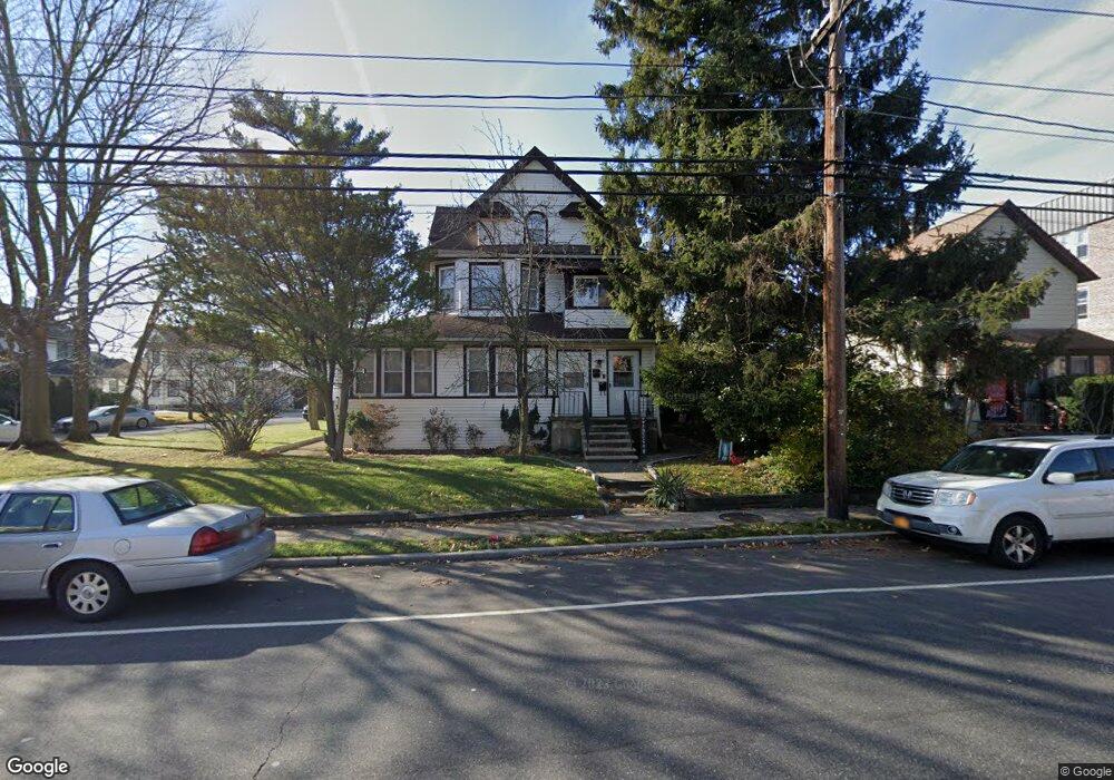
203 Atlantic Ave Unit Upper Lynbrook, NY 11563
Estimated Value: $789,887 - $870,000
2
Beds
1
Bath
2,302
Sq Ft
$361/Sq Ft
Est. Value
About This Home
This home is located at 203 Atlantic Ave Unit Upper, Lynbrook, NY 11563 and is currently estimated at $829,944, approximately $360 per square foot. 203 Atlantic Ave Unit Upper is a home located in Nassau County with nearby schools including Lynbrook Senior High School and Our Lady Of Peace School.
Ownership History
Date
Name
Owned For
Owner Type
Purchase Details
Closed on
Nov 15, 2024
Sold by
Ravn Glen
Bought by
203 Atlantic Realty Llc
Current Estimated Value
Purchase Details
Closed on
Aug 5, 2004
Sold by
Tejada Luis
Bought by
Ravn Glen
Purchase Details
Closed on
Aug 7, 2002
Sold by
Mertens Eran
Bought by
Tejada Luis
Purchase Details
Closed on
Jan 7, 1998
Sold by
Edelman Robert
Bought by
Mertens Eran and Mertens Daniella
Purchase Details
Closed on
Jun 21, 1995
Sold by
Leonardis John Ref
Bought by
Citibank N A
Create a Home Valuation Report for This Property
The Home Valuation Report is an in-depth analysis detailing your home's value as well as a comparison with similar homes in the area
Home Values in the Area
Average Home Value in this Area
Purchase History
| Date | Buyer | Sale Price | Title Company |
|---|---|---|---|
| 203 Atlantic Realty Llc | -- | None Available | |
| 203 Atlantic Realty Llc | -- | None Available | |
| 203 Atlantic Realty Llc | -- | None Available | |
| Ravn Glen | $435,000 | -- | |
| Ravn Glen | $435,000 | -- | |
| Tejada Luis | $385,000 | -- | |
| Tejada Luis | $385,000 | -- | |
| Mertens Eran | $278,000 | -- | |
| Mertens Eran | $278,000 | -- | |
| Citibank N A | $134,247 | -- | |
| Citibank N A | $134,247 | -- |
Source: Public Records
Tax History
| Year | Tax Paid | Tax Assessment Tax Assessment Total Assessment is a certain percentage of the fair market value that is determined by local assessors to be the total taxable value of land and additions on the property. | Land | Improvement |
|---|---|---|---|---|
| 2025 | $13,267 | $575 | $305 | $270 |
| 2024 | $1,310 | $582 | $309 | $273 |
| 2023 | $14,195 | $603 | $320 | $283 |
| 2022 | $14,195 | $603 | $320 | $283 |
| 2021 | $21,589 | $588 | $312 | $276 |
| 2020 | $15,652 | $1,012 | $536 | $476 |
| 2019 | $15,659 | $1,012 | $536 | $476 |
| 2018 | $14,504 | $1,012 | $0 | $0 |
| 2017 | $11,365 | $1,012 | $536 | $476 |
| 2016 | $12,828 | $1,012 | $536 | $476 |
| 2015 | $1,503 | $1,012 | $536 | $476 |
| 2014 | $1,503 | $1,012 | $536 | $476 |
| 2013 | $1,379 | $1,012 | $536 | $476 |
Source: Public Records
Map
Nearby Homes
- 200 Atlantic Ave Unit 123
- 200 Atlantic Ave Unit 223
- 200 Atlantic Ave Unit 212
- 200 Atlantic Ave Unit 417
- 200 Atlantic Ave Unit 331
- 200 Atlantic Ave Unit 138
- 185 Atlantic Ave Unit C-1
- 185 Atlantic Ave Unit B8
- 185 Atlantic Ave Unit C-3
- 183 Atlantic Ave Unit 2
- 2 Wilson St
- 280 Atlantic Ave Unit 140
- 280 Atlantic Ave Unit 316
- 107 Melrose Ave
- 108 Earle Ave
- 290 Atlantic Ave Unit 211
- 290 Atlantic Ave Unit 245
- 32 Manor Rd
- 110 Melrose Ave
- 29 Grant Ave
- 203 Atlantic Ave
- 197 Atlantic Ave
- 197 Atlantic Ave Unit 2
- 12 Harrison Ave
- 17 Harrison Ave
- 200 Atlantic Ave Unit 414
- 200 Atlantic Ave Unit 204
- 200 Atlantic Ave Unit 313
- 200 Atlantic Ave Unit 225
- 200 Atlantic Ave Unit 121
- 200 Atlantic Ave Unit 129
- 200 Atlantic Ave Unit 201
- 200 Atlantic Ave Unit 124
- 200 Atlantic Ave Unit 213
- 200 Atlantic Ave Unit 311
- 200 Atlantic Ave
- 200 Atlantic Ave
- 200 Atlantic Ave Unit 109
- 200 Atlantic Ave Unit 119
Your Personal Tour Guide
Ask me questions while you tour the home.