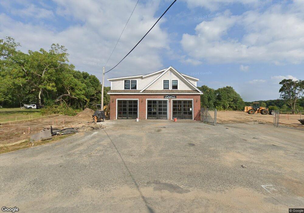
203 Bank St Harwich, MA 2645
Harwich Port NeighborhoodEstimated Value: $351,731
--
Bed
--
Bath
6,700
Sq Ft
$52/Sq Ft
Est. Value
About This Home
This home is located at 203 Bank St, Harwich, MA 2645 and is currently estimated at $351,731, approximately $52 per square foot. 203 Bank St is a home located in Barnstable County with nearby schools including Harwich Elementary School, Chatham Elementary School, and Monomoy Regional Middle School.
Create a Home Valuation Report for This Property
The Home Valuation Report is an in-depth analysis detailing your home's value as well as a comparison with similar homes in the area
Home Values in the Area
Average Home Value in this Area
Tax History Compared to Growth
Tax History
| Year | Tax Paid | Tax Assessment Tax Assessment Total Assessment is a certain percentage of the fair market value that is determined by local assessors to be the total taxable value of land and additions on the property. | Land | Improvement |
|---|---|---|---|---|
| 2025 | -- | $215,400 | $199,600 | $15,800 |
| 2024 | -- | $202,900 | $188,300 | $14,600 |
| 2023 | $0 | $338,400 | $196,900 | $141,500 |
| 2022 | $0 | $327,300 | $186,100 | $141,200 |
| 2021 | $0 | $316,200 | $169,200 | $147,000 |
| 2020 | $0 | $321,400 | $168,700 | $152,700 |
| 2019 | $0 | $317,600 | $161,800 | $155,800 |
| 2018 | $0 | $305,900 | $147,100 | $158,800 |
| 2017 | $0 | $296,100 | $134,000 | $162,100 |
| 2016 | -- | $298,800 | $134,000 | $164,800 |
| 2015 | -- | $298,800 | $131,400 | $167,400 |
| 2014 | -- | $297,100 | $127,500 | $169,600 |
Source: Public Records
Map
Nearby Homes
- 9 Jason Ln
- 53 Freeman St
- 15 Shannon Rd
- 28 Dale Rd
- 303 Bank St
- 44 Beriah Brooks Rd
- 116 Parallel St
- 15 Pleasant St Unit W24
- 106 Chatham Rd
- 515 Route 28
- 515 Massachusetts 28
- 135 Sisson Rd
- 21 Princes St
- 11 Windjammer Rd
- 820 Massachusetts 28
- 4 Hope Ln
- 23 Zylpha Rd
- 252 Chatham Rd
- 405 Lower County Rd Unit 21
- 405 Lower County Rd Unit 23