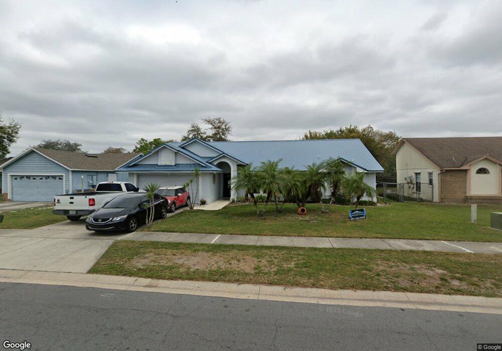
203 Burning Tree Dr Kissimmee, FL 34743
Estimated Value: $334,000 - $386,000
3
Beds
2
Baths
1,790
Sq Ft
$208/Sq Ft
Est. Value
About This Home
This home is located at 203 Burning Tree Dr, Kissimmee, FL 34743 and is currently estimated at $372,350, approximately $208 per square foot. 203 Burning Tree Dr is a home located in Osceola County with nearby schools including Boggy Creek Elementary School, Tohopekaliga High School, and Parkway Middle School.
Ownership History
Date
Name
Owned For
Owner Type
Purchase Details
Closed on
Nov 1, 2005
Sold by
Slater Leon J
Bought by
Maldonado Esther
Current Estimated Value
Purchase Details
Closed on
Mar 18, 2004
Sold by
Velez Frank
Bought by
Slater Leon J and Maldonado Esther
Home Financials for this Owner
Home Financials are based on the most recent Mortgage that was taken out on this home.
Original Mortgage
$142,759
Interest Rate
5.53%
Mortgage Type
FHA
Purchase Details
Closed on
May 4, 2001
Sold by
Maldonado Richard
Bought by
Velez Frank
Create a Home Valuation Report for This Property
The Home Valuation Report is an in-depth analysis detailing your home's value as well as a comparison with similar homes in the area
Home Values in the Area
Average Home Value in this Area
Purchase History
| Date | Buyer | Sale Price | Title Company |
|---|---|---|---|
| Maldonado Esther | $13,000 | None Available | |
| Slater Leon J | $145,000 | Greater Florida Title Co | |
| Velez Frank | -- | -- |
Source: Public Records
Mortgage History
| Date | Status | Borrower | Loan Amount |
|---|---|---|---|
| Previous Owner | Slater Leon J | $142,759 |
Source: Public Records
Tax History Compared to Growth
Tax History
| Year | Tax Paid | Tax Assessment Tax Assessment Total Assessment is a certain percentage of the fair market value that is determined by local assessors to be the total taxable value of land and additions on the property. | Land | Improvement |
|---|---|---|---|---|
| 2024 | $1,674 | $111,226 | -- | -- |
| 2023 | $1,674 | $107,987 | $0 | $0 |
| 2022 | $1,573 | $104,842 | $0 | $0 |
| 2021 | $1,546 | $101,789 | $0 | $0 |
| 2020 | $1,500 | $100,384 | $0 | $0 |
| 2019 | $1,466 | $98,128 | $0 | $0 |
| 2018 | $1,368 | $96,299 | $0 | $0 |
| 2017 | $1,353 | $94,319 | $0 | $0 |
| 2016 | $1,321 | $92,380 | $0 | $0 |
| 2015 | $1,310 | $91,738 | $0 | $0 |
| 2014 | $1,254 | $91,010 | $0 | $0 |
Source: Public Records
Map
Nearby Homes
- 233 Red Maple Dr
- 314 Silk Oak Dr
- 233 Burning Tree Dr
- 229 Competition Dr
- 205 Red Maple Dr
- 807 Aspenwood Cir
- 210 Coral Reef Cir
- 152 Lakepointe Cir
- 149 Lakepointe Cir
- 91 W Cedarwood Cir
- 109 Lakepointe Cir
- 869 Aspenwood Cir
- 98 Lakepointe Cir
- 68 Pine Island Cir
- 208 Applewood Ct
- 34 Pine Island Cir
- 148 W Cedarwood Cir
- 371 Buttonwood Dr
- 1009 Wood Cove
- 217 Coralwood Ct
- 205 Burning Tree Dr
- 201 Burning Tree Dr
- 152 White Birch Dr
- 245 Red Maple Dr
- 207 Burning Tree Dr
- 0 White Birch Dr
- 148 White Birch Dr
- 154 White Birch Dr
- 243 Red Maple Dr
- 153 White Birch Dr
- 206 Burning Tree Dr
- 209https://mfr.mlsma Burning Tree Dr
- 209 Burning Tree Dr
- 155 White Birch Dr
- 404 Everwood Dr
- 151 White Birch Dr
- 146 White Birch Dr
- 156 White Birch Dr
- 157 White Birch Dr
- 406 Everwood Dr