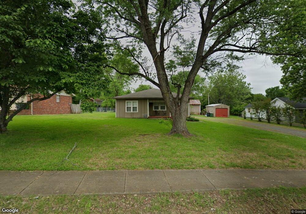
203 Calva Rd Sherwood, AR 72120
Estimated Value: $155,000 - $194,000
--
Bed
2
Baths
1,604
Sq Ft
$111/Sq Ft
Est. Value
About This Home
This home is located at 203 Calva Rd, Sherwood, AR 72120 and is currently estimated at $178,659, approximately $111 per square foot. 203 Calva Rd is a home located in Pulaski County with nearby schools including Sherwood Elementary School, Sylvan Hills Middle School, and Sylvan Hills High School.
Ownership History
Date
Name
Owned For
Owner Type
Purchase Details
Closed on
Dec 9, 2005
Sold by
Hogan Jerry S
Bought by
Pennington Sean R
Current Estimated Value
Home Financials for this Owner
Home Financials are based on the most recent Mortgage that was taken out on this home.
Original Mortgage
$17,600
Interest Rate
5.86%
Mortgage Type
Stand Alone Second
Create a Home Valuation Report for This Property
The Home Valuation Report is an in-depth analysis detailing your home's value as well as a comparison with similar homes in the area
Home Values in the Area
Average Home Value in this Area
Purchase History
| Date | Buyer | Sale Price | Title Company |
|---|---|---|---|
| Pennington Sean R | $88,000 | West Little Rock Title Co |
Source: Public Records
Mortgage History
| Date | Status | Borrower | Loan Amount |
|---|---|---|---|
| Closed | Pennington Sean R | $17,600 | |
| Open | Pennington Sean R | $70,400 |
Source: Public Records
Tax History Compared to Growth
Tax History
| Year | Tax Paid | Tax Assessment Tax Assessment Total Assessment is a certain percentage of the fair market value that is determined by local assessors to be the total taxable value of land and additions on the property. | Land | Improvement |
|---|---|---|---|---|
| 2025 | $978 | $30,619 | $10,640 | $19,979 |
| 2024 | $897 | $30,619 | $10,640 | $19,979 |
| 2023 | $897 | $30,619 | $10,640 | $19,979 |
| 2022 | $987 | $30,619 | $10,640 | $19,979 |
| 2021 | $911 | $15,650 | $1,400 | $14,250 |
| 2020 | $531 | $15,650 | $1,400 | $14,250 |
| 2019 | $531 | $15,650 | $1,400 | $14,250 |
| 2018 | $556 | $15,650 | $1,400 | $14,250 |
| 2017 | $545 | $15,650 | $1,400 | $14,250 |
| 2016 | $523 | $15,220 | $4,140 | $11,080 |
| 2015 | $773 | $15,220 | $4,140 | $11,080 |
| 2014 | $773 | $15,220 | $4,140 | $11,080 |
Source: Public Records
Map
Nearby Homes
- 300 Burntwood Rd
- 1406 Coolhurst Ave
- 609 Newcastle Dr
- 615 & 617 Brierly Dr
- 615 Brierly Dr
- 619 Newcastle Dr
- 618 & 620 Newcastle Dr
- 1300 Stafford Rd
- 622 Newcastle Dr
- 503 Brent Dr
- 1301 Stafford Rd
- 626 Newcastle Dr
- 304 Verona Ave
- +/- 8.16 Acres Windchime Ave
- 1415 Stafford Rd
- 11 Daniel Dr
- 1419 Stafford Rd
- 1423 Stafford Rd
- +/- 21.56 Acres Stafford Rd
- 1501 Stafford Rd
- 201 Calva Rd
- 205 Calva Rd
- 209 Calva Rd
- 112 Jack Evans Ct
- 109 Calva Rd
- 204 Calva Rd
- 1400 Dovecote Ln
- 108 Jack Evans Ct
- 208 Calva Rd
- 113 Jack Evans Ct
- 105 Calva Rd
- 1305 Cornflower Ln
- 104 Jack Evans Ct
- 110 Calva Rd
- 1301 Cornflower Ln
- 212 Calva Rd
- 109 Jack Evans Ct
- 1202 Country Club Rd
- 1225 Cornflower Ln
- 106 Abdin Ct