203 Chestatee River Ridge Dahlonega, GA 30533
Estimated Value: $183,582 - $381,000
--
Bed
--
Bath
504
Sq Ft
$610/Sq Ft
Est. Value
About This Home
This home is located at 203 Chestatee River Ridge, Dahlonega, GA 30533 and is currently estimated at $307,194, approximately $609 per square foot. 203 Chestatee River Ridge is a home with nearby schools including Clay County Middle School and Lumpkin County High School.
Ownership History
Date
Name
Owned For
Owner Type
Purchase Details
Closed on
Jun 5, 2013
Sold by
Rey Agnes F
Bought by
Rey John F
Current Estimated Value
Purchase Details
Closed on
Dec 1, 1987
Sold by
Maiolo Ralph J
Bought by
Maiolo Ralph J
Purchase Details
Closed on
Apr 1, 1987
Sold by
Maiolo Ralph J
Bought by
Rey John F
Purchase Details
Closed on
Apr 1, 1981
Bought by
Maiolo Ralph J
Create a Home Valuation Report for This Property
The Home Valuation Report is an in-depth analysis detailing your home's value as well as a comparison with similar homes in the area
Home Values in the Area
Average Home Value in this Area
Purchase History
| Date | Buyer | Sale Price | Title Company |
|---|---|---|---|
| Rey John F | -- | -- | |
| Rey John F | -- | -- | |
| Maiolo Ralph J | -- | -- | |
| Rey John F | $20,000 | -- | |
| Maiolo Ralph J | -- | -- |
Source: Public Records
Tax History Compared to Growth
Tax History
| Year | Tax Paid | Tax Assessment Tax Assessment Total Assessment is a certain percentage of the fair market value that is determined by local assessors to be the total taxable value of land and additions on the property. | Land | Improvement |
|---|---|---|---|---|
| 2024 | $1,282 | $55,942 | $31,980 | $23,962 |
| 2023 | $1,277 | $54,311 | $31,980 | $22,331 |
| 2022 | $1,266 | $51,120 | $31,980 | $19,140 |
| 2021 | $1,222 | $47,735 | $31,980 | $15,755 |
| 2020 | $1,248 | $47,298 | $31,980 | $15,318 |
| 2019 | $1,259 | $47,298 | $31,980 | $15,318 |
| 2018 | $1,296 | $45,667 | $31,980 | $13,687 |
| 2017 | $1,310 | $45,276 | $31,980 | $13,296 |
| 2016 | $1,316 | $43,996 | $31,980 | $12,016 |
| 2015 | $1,169 | $43,996 | $31,980 | $12,016 |
| 2014 | $1,169 | $44,334 | $31,980 | $12,354 |
| 2013 | -- | $44,503 | $31,980 | $12,523 |
Source: Public Records
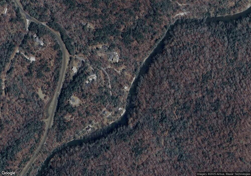
Map
Nearby Homes
- 45 Chestatee River Ridge
- 380 Copper Mill Rd
- 64 Highview Ln
- 16 Welch Cir
- 1063 Grindle Bridge Rd
- 202 Indian Trail
- 0 Arborwood Dr Unit 10645890
- 86.99 Acres Mincie Mountain
- 83 Austin Ct
- 128 Young Deer Dr
- 87 Tolleffs Trail
- 0 Roseberry Ln
- 0 Valhalla Dr Unit 10640791
- 31 Valhalla Dr
- 23.86 Acres Mincie Mountain
- 20.65 Acres Mincie Mountain
- 42.65 Acres Mincie Mountain
- 465 Chestatee River Ridge
- 165 Chestatee River Ridge
- 0 Ponderosa Trail Unit 10333133
- 0 Ponderosa Trail Unit 7416387
- 0 Ponderosa Trail Unit 10236550
- 0 Ponderosa Trail Unit 7318249
- 0 Ponderosa Trail Unit 7226490
- 0 Ponderosa Trail Unit 7512672
- 0 Ponderosa Trail Unit 7248298
- 0 Ponderosa Trail Unit 8502284
- 0 Ponderosa Trail
- 414 Chestatee River Ridge
- 394 Chestatee River Ridge
- 159 Chestatee River Ridge
- 34 Ponderosa Trail
- 2556 Copper Mines Rd
- Lot 2 Chestatee River Ridge
- 145 Chestatee River Ridge
- 152 Chestatee River Ridge
- 350 Chestatee River Ridge