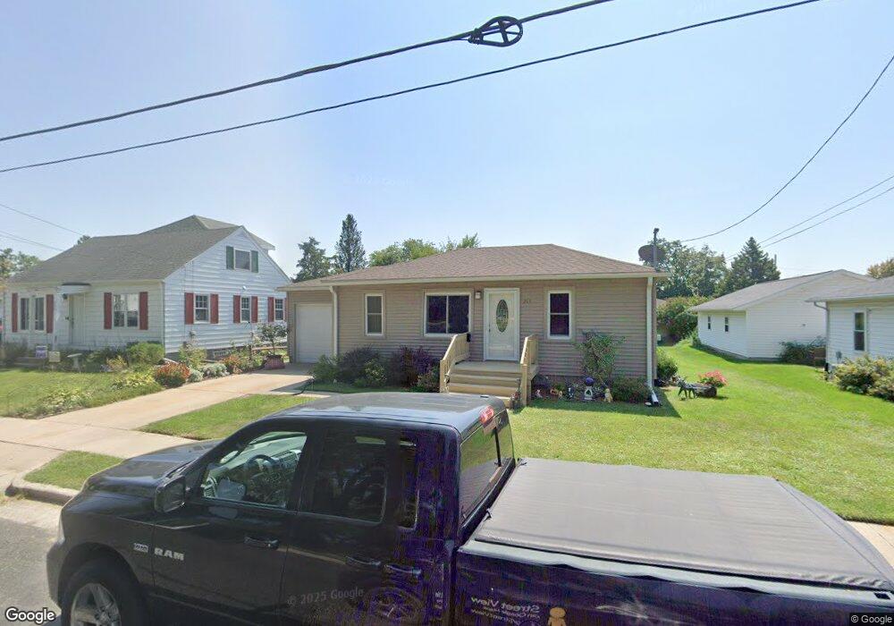
203 Clark St Watertown, WI 53094
Estimated Value: $249,000 - $277,000
3
Beds
2
Baths
1,328
Sq Ft
$200/Sq Ft
Est. Value
About This Home
This home is located at 203 Clark St, Watertown, WI 53094 and is currently estimated at $265,250, approximately $199 per square foot. 203 Clark St is a home located in Jefferson County with nearby schools including Watertown High School, eCampus Academy Charter School, and Trinity-St. Luke's Lutheran Elementary School.
Ownership History
Date
Name
Owned For
Owner Type
Purchase Details
Closed on
Nov 10, 2011
Sold by
Federal Home Loan Mortgage Corporation
Bought by
Wallace Sherry L
Current Estimated Value
Purchase Details
Closed on
Sep 22, 2011
Sold by
Bank Of Lake Mills
Bought by
Federal Home Loan Mortgage Corporation
Purchase Details
Closed on
Aug 25, 2011
Sold by
Karr Paul A and Karr Kelly A
Bought by
Bank Of Lake Mills
Purchase Details
Closed on
Nov 16, 2007
Sold by
Mullen Jeanne
Bought by
Karr Paul A and Karr Kelly A
Home Financials for this Owner
Home Financials are based on the most recent Mortgage that was taken out on this home.
Original Mortgage
$134,400
Interest Rate
6.47%
Mortgage Type
New Conventional
Create a Home Valuation Report for This Property
The Home Valuation Report is an in-depth analysis detailing your home's value as well as a comparison with similar homes in the area
Home Values in the Area
Average Home Value in this Area
Purchase History
| Date | Buyer | Sale Price | Title Company |
|---|---|---|---|
| Wallace Sherry L | -- | None Available | |
| Federal Home Loan Mortgage Corporation | -- | None Available | |
| Bank Of Lake Mills | $104,000 | None Available | |
| Karr Paul A | $134,400 | None Available |
Source: Public Records
Mortgage History
| Date | Status | Borrower | Loan Amount |
|---|---|---|---|
| Previous Owner | Karr Paul A | $134,400 |
Source: Public Records
Tax History Compared to Growth
Tax History
| Year | Tax Paid | Tax Assessment Tax Assessment Total Assessment is a certain percentage of the fair market value that is determined by local assessors to be the total taxable value of land and additions on the property. | Land | Improvement |
|---|---|---|---|---|
| 2024 | $3,505 | $235,700 | $43,500 | $192,200 |
| 2023 | $3,513 | $198,600 | $37,500 | $161,100 |
| 2022 | $3,324 | $198,600 | $37,500 | $161,100 |
| 2021 | $2,712 | $116,000 | $22,500 | $93,500 |
| 2020 | $2,759 | $116,000 | $22,500 | $93,500 |
| 2019 | $2,671 | $116,000 | $22,500 | $93,500 |
| 2018 | $2,617 | $116,000 | $22,500 | $93,500 |
| 2017 | $2,524 | $116,000 | $22,500 | $93,500 |
| 2016 | $2,584 | $116,000 | $22,500 | $93,500 |
| 2015 | $3,614 | $116,000 | $22,500 | $93,500 |
| 2014 | $3,304 | $116,000 | $22,500 | $93,500 |
| 2013 | $3,152 | $116,000 | $22,500 | $93,500 |
Source: Public Records
Map
Nearby Homes
- 1313 Utah St
- 1301 Utah St
- 1215 Utah St
- 1314 Waldron St
- 1418 S 9th St
- 908 Franklin St
- 1330 S 10th St
- 131 Cedar Ct
- 1507 S 10th St
- 758 Johnson St
- 750 Johnson St
- The Saybrook Plan at Rock River Ridge
- The Atwater Plan at Rock River Ridge
- The Hudson Plan at Rock River Ridge
- The Coral Plan at Rock River Ridge
- The Drake Plan at Rock River Ridge
- The Addison Plan at Rock River Ridge
- The Bradford Plan at Rock River Ridge
- The Catalina Plan at Rock River Ridge
- The Adrian Plan at Rock River Ridge