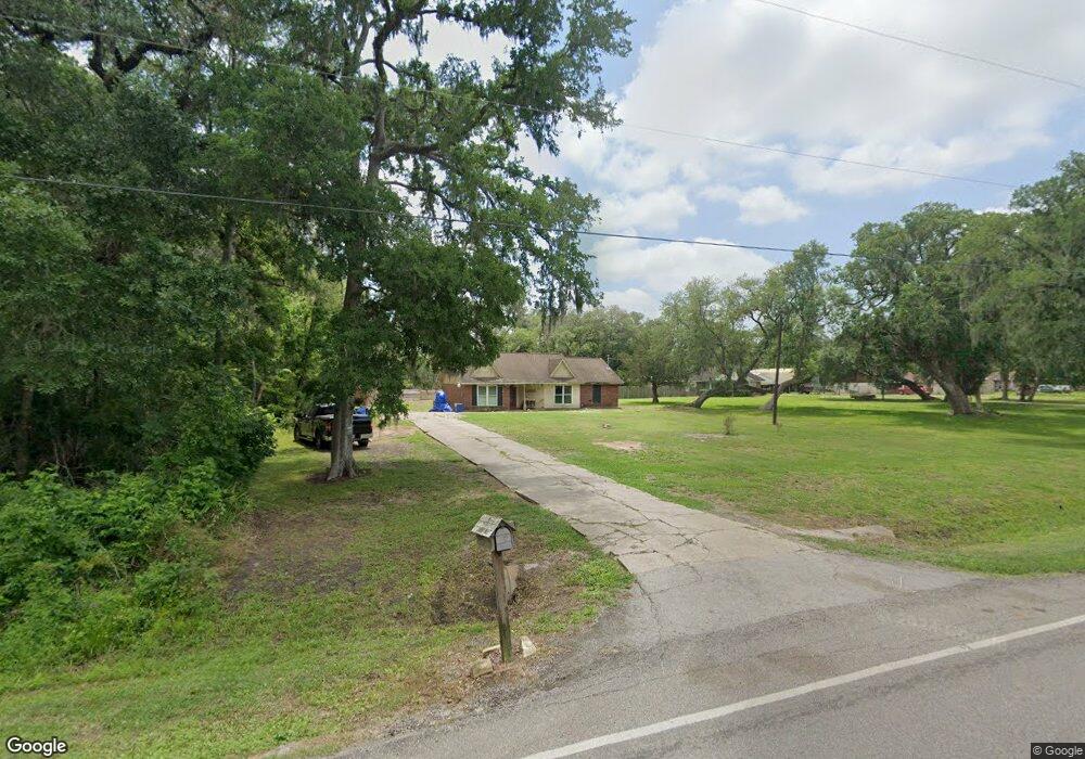
203 County Road 912a Brazoria, TX 77422
Estimated Value: $217,000 - $273,000
--
Bed
2
Baths
1,544
Sq Ft
$157/Sq Ft
Est. Value
About This Home
This home is located at 203 County Road 912a, Brazoria, TX 77422 and is currently estimated at $242,088, approximately $156 per square foot. 203 County Road 912a is a home located in Brazoria County.
Ownership History
Date
Name
Owned For
Owner Type
Purchase Details
Closed on
Sep 18, 2015
Sold by
Hutson Ealy S and Hutson Loyce A
Bought by
Daigle Stanford James
Current Estimated Value
Home Financials for this Owner
Home Financials are based on the most recent Mortgage that was taken out on this home.
Original Mortgage
$147,283
Outstanding Balance
$117,958
Interest Rate
4.5%
Mortgage Type
FHA
Estimated Equity
$124,130
Purchase Details
Closed on
Apr 22, 2015
Sold by
Romero Karen
Bought by
Hutson Ealy S and Hutson Loyce A
Create a Home Valuation Report for This Property
The Home Valuation Report is an in-depth analysis detailing your home's value as well as a comparison with similar homes in the area
Home Values in the Area
Average Home Value in this Area
Purchase History
| Date | Buyer | Sale Price | Title Company |
|---|---|---|---|
| Daigle Stanford James | -- | Great American Title Co | |
| Hutson Ealy S | -- | Great American Title Co |
Source: Public Records
Mortgage History
| Date | Status | Borrower | Loan Amount |
|---|---|---|---|
| Open | Daigle Stanford James | $147,283 |
Source: Public Records
Tax History Compared to Growth
Tax History
| Year | Tax Paid | Tax Assessment Tax Assessment Total Assessment is a certain percentage of the fair market value that is determined by local assessors to be the total taxable value of land and additions on the property. | Land | Improvement |
|---|---|---|---|---|
| 2025 | $1,401 | $208,838 | $58,090 | $161,830 |
| 2023 | $1,401 | $172,594 | $31,150 | $164,000 |
| 2022 | $2,476 | $156,904 | $26,130 | $169,680 |
| 2021 | $2,391 | $142,640 | $26,440 | $116,200 |
| 2020 | $2,540 | $142,640 | $26,440 | $116,200 |
| 2019 | $2,538 | $138,620 | $25,520 | $113,100 |
| 2018 | $2,159 | $117,040 | $12,460 | $104,580 |
| 2017 | $2,181 | $117,040 | $12,460 | $104,580 |
| 2016 | $2,181 | $117,040 | $12,460 | $104,580 |
| 2015 | $817 | $103,590 | $10,380 | $93,210 |
| 2014 | $817 | $98,430 | $4,990 | $93,440 |
Source: Public Records
Map
Nearby Homes
- 10186 County Road 400
- 338 County Road 912a
- 441 County Road 849
- 519 County Road 849
- 145
- 307 Avenue G
- 549 E New York St
- 706 E New York St
- 4773 County Road 652
- 409 Carlton St
- 523 Lazy Ln
- 401 E Texas St
- 232 Magnolia St
- 310 E Texas St
- 0 Pecan Dr
- 230 E New York St
- 229 Yaupon Dr
- 0 Travis St
- 411 Travis St
- 0 Pearl St
- 203 Cr 912a
- 217 County Road 912a
- 123 County Road 912a
- 221 County Road 912a
- 221 County Road 912a
- 204 County Road 912a
- 227 County Road 912a
- 134 County Road 912a
- 122 County Road 912a
- 122 Cr 912a
- 10307 County Road 400
- 226 County Road 912a
- 10173 County Road 400
- 307 Cr 912a
- 216 County Road 912a
- 307 County Road 912a
- 338 C R 912a
- 10145 County Road 400
- 232 County Road 912a
- 232 Cr 912a