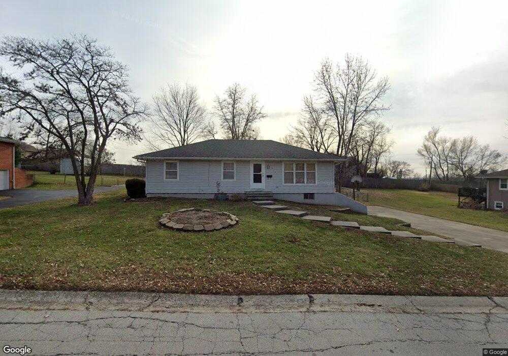
203 Crest Dr Excelsior Springs, MO 64024
Estimated Value: $192,000 - $244,000
3
Beds
2
Baths
1,288
Sq Ft
$174/Sq Ft
Est. Value
About This Home
This home is located at 203 Crest Dr, Excelsior Springs, MO 64024 and is currently estimated at $224,547, approximately $174 per square foot. 203 Crest Dr is a home located in Clay County with nearby schools including Excelsior Springs High School.
Ownership History
Date
Name
Owned For
Owner Type
Purchase Details
Closed on
Jan 11, 2011
Sold by
Hightower William D and Hightower Lorraine E
Bought by
Hightower Residential Properties Llc
Current Estimated Value
Purchase Details
Closed on
Jan 30, 2008
Sold by
Deutsche Bank Trust Co Americas
Bought by
Hightower William D and Hightower Lorraine E
Purchase Details
Closed on
Oct 22, 2007
Sold by
Christopher Deena and Christopher Robert
Bought by
Deutsche Bank Trust Co Americas and Saxon Mortgage Services Inc
Purchase Details
Closed on
Oct 1, 1999
Sold by
Johnson Steve C and Johnson Lisa M
Bought by
Christopher Robert and Christopher Deena
Home Financials for this Owner
Home Financials are based on the most recent Mortgage that was taken out on this home.
Original Mortgage
$89,403
Interest Rate
7.83%
Mortgage Type
VA
Create a Home Valuation Report for This Property
The Home Valuation Report is an in-depth analysis detailing your home's value as well as a comparison with similar homes in the area
Home Values in the Area
Average Home Value in this Area
Purchase History
| Date | Buyer | Sale Price | Title Company |
|---|---|---|---|
| Hightower Residential Properties Llc | -- | None Available | |
| Hightower William D | -- | Mo Kan Title Services Inc | |
| Deutsche Bank Trust Co Americas | $103,299 | None Available | |
| Christopher Robert | -- | United Title Company |
Source: Public Records
Mortgage History
| Date | Status | Borrower | Loan Amount |
|---|---|---|---|
| Previous Owner | Christopher Robert | $89,403 |
Source: Public Records
Tax History Compared to Growth
Tax History
| Year | Tax Paid | Tax Assessment Tax Assessment Total Assessment is a certain percentage of the fair market value that is determined by local assessors to be the total taxable value of land and additions on the property. | Land | Improvement |
|---|---|---|---|---|
| 2025 | $1,655 | $27,400 | -- | -- |
| 2024 | $1,655 | $23,600 | -- | -- |
| 2023 | $1,645 | $23,600 | $0 | $0 |
| 2022 | $1,458 | $20,580 | $0 | $0 |
| 2021 | $1,464 | $20,577 | $2,850 | $17,727 |
| 2020 | $1,425 | $19,480 | $0 | $0 |
| 2019 | $1,424 | $19,475 | $2,850 | $16,625 |
| 2018 | $1,319 | $17,990 | $0 | $0 |
| 2017 | $1,214 | $17,990 | $2,850 | $15,140 |
| 2016 | $1,214 | $16,970 | $2,850 | $14,120 |
| 2015 | $1,225 | $16,970 | $2,850 | $14,120 |
| 2014 | $1,236 | $16,970 | $2,850 | $14,120 |
Source: Public Records
Map
Nearby Homes
- 125 Crown Hill Rd
- 2017 Wornall Rd
- Lot 2 Wornall Rd
- 1904 Karlton Way
- 2081 Rock Bridge Pkwy
- 1908 Lesa Place
- 240 Rock Bridge Pkwy
- 2017 Karlton Way
- 609 Kimberly Dr
- 2021 Riverstone Dr
- 402 Leslie Ln
- 617 Lodwick Ln
- 2207 Ashford St
- 402 Greenspire St
- 00000 NE 144th St
- 304 Waller Ave
- 2210 Piedmont Place
- 130 Kevin St
- 1318 Kristie Cir
- 332 Woods Ave