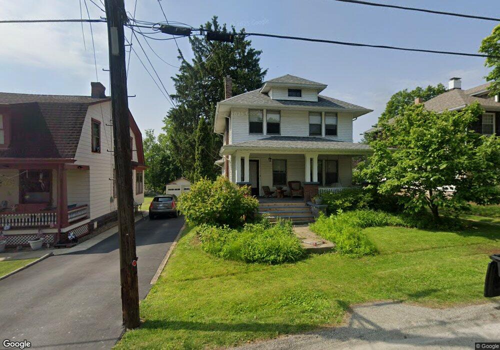
203 Dehaven Ct Glenshaw, PA 15116
Shaler Township NeighborhoodEstimated Value: $212,000 - $321,000
2
Beds
2
Baths
1,234
Sq Ft
$202/Sq Ft
Est. Value
About This Home
This home is located at 203 Dehaven Ct, Glenshaw, PA 15116 and is currently estimated at $248,931, approximately $201 per square foot. 203 Dehaven Ct is a home located in Allegheny County with nearby schools including Shaler Area Elementary School, Burchfield Primary School, and Shaler Area Middle School.
Ownership History
Date
Name
Owned For
Owner Type
Purchase Details
Closed on
Feb 23, 2023
Sold by
Magill Beatrice T
Bought by
Koda Family Trust
Current Estimated Value
Purchase Details
Closed on
Apr 7, 2021
Sold by
Magill Family Revocable Livingtrust
Bought by
Magill Beatrice T
Purchase Details
Closed on
Sep 14, 2015
Sold by
Worrell Edith L
Bought by
Magill Tr Robert H and Magill Family Revocable Living Trust
Home Financials for this Owner
Home Financials are based on the most recent Mortgage that was taken out on this home.
Original Mortgage
$140,000
Interest Rate
3.94%
Mortgage Type
New Conventional
Create a Home Valuation Report for This Property
The Home Valuation Report is an in-depth analysis detailing your home's value as well as a comparison with similar homes in the area
Home Values in the Area
Average Home Value in this Area
Purchase History
| Date | Buyer | Sale Price | Title Company |
|---|---|---|---|
| Koda Family Trust | $215,000 | -- | |
| Koda Family Trust | $215,000 | -- | |
| Magill Beatrice T | -- | -- | |
| Magill Beatrice T | -- | None Available | |
| Magill Tr Robert H | $185,000 | None Available |
Source: Public Records
Mortgage History
| Date | Status | Borrower | Loan Amount |
|---|---|---|---|
| Previous Owner | Magill Tr Robert H | $140,000 |
Source: Public Records
Tax History Compared to Growth
Tax History
| Year | Tax Paid | Tax Assessment Tax Assessment Total Assessment is a certain percentage of the fair market value that is determined by local assessors to be the total taxable value of land and additions on the property. | Land | Improvement |
|---|---|---|---|---|
| 2025 | $3,411 | $85,600 | -- | $85,600 |
| 2024 | $3,411 | $103,600 | -- | $103,600 |
| 2023 | $2,718 | $85,600 | $0 | $85,600 |
| 2022 | $3,289 | $85,600 | $0 | $85,600 |
| 2021 | $2,718 | $85,600 | $0 | $85,600 |
| 2020 | $2,718 | $85,600 | $0 | $85,600 |
| 2019 | $2,632 | $85,600 | $0 | $85,600 |
| 2018 | $405 | $85,600 | $0 | $85,600 |
| 2017 | $2,549 | $85,600 | $0 | $85,600 |
| 2016 | $490 | $103,600 | $0 | $103,600 |
| 2015 | $490 | $85,600 | $0 | $85,600 |
| 2014 | $2,445 | $85,600 | $0 | $85,600 |
Source: Public Records
Map
Nearby Homes
- 211 Rosebriar Ave
- 2605 Mount Royal Blvd
- 121 Ida Dr
- 2603 Sherwood Rd
- 3608 Rosebriar Ave
- 222 Elfinwild Ln
- 163 Richard Dr
- 205 Pamela Dr
- 2501 Oakwood Rd
- 2425 Hampton Ave
- 104 Meadow Rd
- 910 Burchfield Rd
- 249 Maryland Dr
- 2584 Hampton Ave
- 3305 Laurel Dr
- 404 McElheny Rd
- 2609 Autumnwood Dr
- 2215 Linwood Dr
- 140 Hodil Rd
- 113 Mcginley Dr
- 201 Dehaven Ct
- 204 Dehaven Ct
- 202 Dehaven Ct
- 101 Dehaven Ct
- 103 Dehaven Ct
- 104 Dehaven Ct
- 803 Dehaven Ct Unit 803
- 804 Dehaven Ct Unit 804
- 106 Orchard Ave
- 108 Orchard Ave
- 102 Dehaven Ct
- 802 Dehaven Ct
- 801 Dehaven Ct
- 110 Orchard Ave
- 104 Orchard Ave
- 112 Orchard Ave
- 114 Orchard Ave
- 3000 Mount Royal Blvd
- 2900 Mount Royal Blvd
- 3002 Mount Royal Blvd