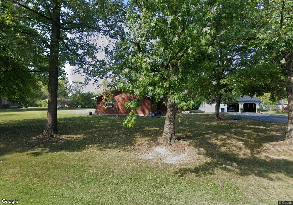
203 Delinda Ave Sparta, IL 62286
Estimated Value: $196,000 - $236,000
--
Bed
--
Bath
--
Sq Ft
0.44
Acres
About This Home
This home is located at 203 Delinda Ave, Sparta, IL 62286 and is currently estimated at $213,793. 203 Delinda Ave is a home located in Randolph County with nearby schools including Sparta High School.
Ownership History
Date
Name
Owned For
Owner Type
Purchase Details
Closed on
Sep 26, 2019
Sold by
Donald R Shaver Trust
Bought by
Reel Coire R and Reel Kaitlyn M
Current Estimated Value
Home Financials for this Owner
Home Financials are based on the most recent Mortgage that was taken out on this home.
Original Mortgage
$160,011
Interest Rate
3.6%
Mortgage Type
VA
Purchase Details
Closed on
Jun 19, 2012
Sold by
Shaver Donald R and Shaver Donna J
Bought by
Shaver Donald R
Create a Home Valuation Report for This Property
The Home Valuation Report is an in-depth analysis detailing your home's value as well as a comparison with similar homes in the area
Home Values in the Area
Average Home Value in this Area
Purchase History
| Date | Buyer | Sale Price | Title Company |
|---|---|---|---|
| Reel Coire R | -- | None Available | |
| Reel Coire R | $154,900 | None Available | |
| Shaver Donald R | -- | None Available |
Source: Public Records
Mortgage History
| Date | Status | Borrower | Loan Amount |
|---|---|---|---|
| Previous Owner | Reel Coire R | $160,011 |
Source: Public Records
Tax History Compared to Growth
Tax History
| Year | Tax Paid | Tax Assessment Tax Assessment Total Assessment is a certain percentage of the fair market value that is determined by local assessors to be the total taxable value of land and additions on the property. | Land | Improvement |
|---|---|---|---|---|
| 2024 | $4,823 | $56,840 | $4,350 | $52,490 |
| 2023 | $4,440 | $52,810 | $4,040 | $48,770 |
| 2022 | $4,109 | $54,060 | $5,290 | $48,770 |
| 2021 | $4,225 | $50,535 | $4,945 | $45,590 |
| 2020 | $3,981 | $51,750 | $5,065 | $46,685 |
| 2019 | $4,118 | $48,795 | $4,525 | $44,270 |
| 2018 | $4,086 | $53,797 | $4,989 | $48,808 |
| 2017 | $3,479 | $49,235 | $4,565 | $44,670 |
| 2016 | $3,580 | $47,445 | $4,400 | $43,045 |
| 2015 | $3,556 | $47,445 | $4,400 | $43,045 |
| 2014 | $3,556 | $48,375 | $4,485 | $43,890 |
| 2013 | $3,390 | $48,985 | $4,540 | $44,445 |
Source: Public Records
Map
Nearby Homes
- 255 Delwood Dr
- 115 W 4th St
- 410 S Saint Louis St
- 332 S Saint Louis St
- 321 S Market St
- 336 W Jackson St
- 140&142 W Broadway
- 500 S Chester St
- 216 S Dickey St
- 105 S Washington
- 1019 E Main St
- 540 E Broadway St
- 510 E Main St
- 715 W Broadway St
- 35 Bogey Run
- 501 N Market St
- 515 N Market St
- 1019 E Broadway St
- 712 E Harrison St
- 520 E Mound St