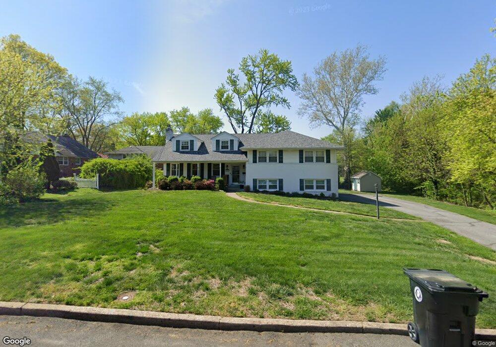
203 Devon Rd Cinnaminson, NJ 08077
Estimated Value: $574,000 - $640,000
Studio
--
Bath
2,847
Sq Ft
$213/Sq Ft
Est. Value
About This Home
This home is located at 203 Devon Rd, Cinnaminson, NJ 08077 and is currently estimated at $606,969, approximately $213 per square foot. 203 Devon Rd is a home located in Burlington County with nearby schools including New Albany Elementary School, Eleanor Rush Intermediate School, and Cinnaminson Middle School.
Ownership History
Date
Name
Owned For
Owner Type
Purchase Details
Closed on
May 10, 2024
Sold by
Kostiuk Michael P and Kostiuk Kathleen M
Bought by
Murray Sean and Murray Charlotte
Current Estimated Value
Home Financials for this Owner
Home Financials are based on the most recent Mortgage that was taken out on this home.
Original Mortgage
$522,405
Outstanding Balance
$515,381
Interest Rate
7.1%
Mortgage Type
New Conventional
Estimated Equity
$91,588
Purchase Details
Closed on
Mar 31, 1999
Sold by
Morrow Charles Jeffrey and Morrow Kaye S
Bought by
Kostiuk Michael P and Kostiuk Kathleen M
Home Financials for this Owner
Home Financials are based on the most recent Mortgage that was taken out on this home.
Original Mortgage
$167,500
Interest Rate
7.02%
Mortgage Type
Stand Alone First
Create a Home Valuation Report for This Property
The Home Valuation Report is an in-depth analysis detailing your home's value as well as a comparison with similar homes in the area
Home Values in the Area
Average Home Value in this Area
Purchase History
| Date | Buyer | Sale Price | Title Company |
|---|---|---|---|
| Murray Sean | $549,900 | American Land Title | |
| Murray Sean | $549,900 | American Land Title | |
| Kostiuk Michael P | $175,000 | First American Title Insuran |
Source: Public Records
Mortgage History
| Date | Status | Borrower | Loan Amount |
|---|---|---|---|
| Open | Murray Sean | $522,405 | |
| Closed | Murray Sean | $522,405 | |
| Previous Owner | Kostiuk Michael P | $167,500 |
Source: Public Records
Tax History
| Year | Tax Paid | Tax Assessment Tax Assessment Total Assessment is a certain percentage of the fair market value that is determined by local assessors to be the total taxable value of land and additions on the property. | Land | Improvement |
|---|---|---|---|---|
| 2025 | $11,804 | $309,900 | $81,500 | $228,400 |
| 2024 | $11,519 | $309,900 | $81,500 | $228,400 |
| 2023 | $11,519 | $309,900 | $81,500 | $228,400 |
| 2022 | $11,268 | $309,900 | $81,500 | $228,400 |
| 2021 | $11,178 | $309,900 | $81,500 | $228,400 |
| 2020 | $11,070 | $309,900 | $81,500 | $228,400 |
| 2019 | $10,915 | $309,900 | $81,500 | $228,400 |
| 2018 | $10,837 | $309,900 | $81,500 | $228,400 |
| 2017 | $10,726 | $309,900 | $81,500 | $228,400 |
| 2016 | $10,577 | $309,900 | $81,500 | $228,400 |
| 2015 | $10,242 | $309,900 | $81,500 | $228,400 |
| 2014 | $9,753 | $309,900 | $81,500 | $228,400 |
Source: Public Records
Map
Nearby Homes
- 117 White Birch Dr
- 62 Sussex Dr
- 323 Parry Rd
- 608 Fountain Ave
- 2407 Riverton Rd
- 715 Willow Dr
- 8 Saratoga Springs Dr
- 709 Dartmouth Ave
- 2801 Riverton Rd
- 2209 New Albany Rd
- 504 Wellfleet Rd
- 406 Sweetwater Dr Unit 400F
- 2801 Riverton Rd
- 2211 Chestnut Hill Dr
- 236 Carriage Hill Dr
- 819 Heritage Rd
- 247 Southview Dr
- 190 Westover Dr
- 502 Pomona Rd
- 207 Farmington Rd
Your Personal Tour Guide
Ask me questions while you tour the home.