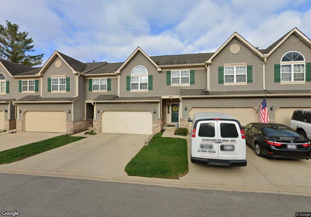
203 Dunridge Cir Unit 1B East Dundee, IL 60118
Estimated Value: $269,537 - $323,000
2
Beds
--
Bath
1,800
Sq Ft
$167/Sq Ft
Est. Value
About This Home
This home is located at 203 Dunridge Cir Unit 1B, East Dundee, IL 60118 and is currently estimated at $300,884, approximately $167 per square foot. 203 Dunridge Cir Unit 1B is a home located in Kane County with nearby schools including Parkview Elementary School, Crescent City Grade School, and Carpentersville Middle School.
Ownership History
Date
Name
Owned For
Owner Type
Purchase Details
Closed on
Jul 12, 2004
Sold by
Blank Donald C
Bought by
Bennett Mary
Current Estimated Value
Home Financials for this Owner
Home Financials are based on the most recent Mortgage that was taken out on this home.
Original Mortgage
$150,000
Outstanding Balance
$64,464
Interest Rate
4.12%
Mortgage Type
Purchase Money Mortgage
Estimated Equity
$236,420
Purchase Details
Closed on
Apr 24, 1996
Sold by
Krieger Dunridge
Bought by
Blank Donald C and Blank Marion
Create a Home Valuation Report for This Property
The Home Valuation Report is an in-depth analysis detailing your home's value as well as a comparison with similar homes in the area
Home Values in the Area
Average Home Value in this Area
Purchase History
| Date | Buyer | Sale Price | Title Company |
|---|---|---|---|
| Bennett Mary | $190,000 | -- | |
| Blank Donald C | $95,000 | -- | |
| Blank Donald C | $136,000 | -- |
Source: Public Records
Mortgage History
| Date | Status | Borrower | Loan Amount |
|---|---|---|---|
| Open | Bennett Mary | $150,000 |
Source: Public Records
Tax History Compared to Growth
Tax History
| Year | Tax Paid | Tax Assessment Tax Assessment Total Assessment is a certain percentage of the fair market value that is determined by local assessors to be the total taxable value of land and additions on the property. | Land | Improvement |
|---|---|---|---|---|
| 2024 | $4,491 | $73,080 | $8,371 | $64,709 |
| 2023 | $4,800 | $65,755 | $7,532 | $58,223 |
| 2022 | $4,891 | $63,034 | $7,532 | $55,502 |
| 2021 | $4,687 | $59,517 | $7,112 | $52,405 |
| 2020 | $4,576 | $58,179 | $6,952 | $51,227 |
| 2019 | $4,457 | $55,230 | $6,600 | $48,630 |
| 2018 | $4,494 | $54,136 | $6,469 | $47,667 |
| 2017 | $4,249 | $50,641 | $6,051 | $44,590 |
| 2016 | $4,348 | $49,033 | $5,859 | $43,174 |
| 2015 | -- | $45,945 | $5,490 | $40,455 |
| 2014 | -- | $44,676 | $5,338 | $39,338 |
| 2013 | -- | $46,043 | $5,501 | $40,542 |
Source: Public Records
Map
Nearby Homes
- 431 Dunridge Ct Unit 12B
- 436 Barrington Ave
- 152 King Ave
- 7 King William St
- 605 Barrington Ave Unit 350
- 605 Barrington Ave Unit 140
- 605 Barrington Ave Unit 216
- 2 Adams St
- 710 Timothy Ct Unit 221
- 305 Oregon Ave
- Lot 1 View St
- 174 Dunbar Ln
- 512 Lisa Rd
- 730 Council Hill Rd
- Lot 8 Elmwood Dr
- 827 Balmoral Dr
- Lot 6B Ravine Rd
- Lot 6A Ravine Rd
- Lot 6 Ravine Rd
- 560 S 5th St
- 209 Dunridge Cir Unit 1E
- 205 Dunridge Cir Unit 1C
- 207 Dunridge Cir Unit 1D
- 265 Dunridge Cir Unit 8A
- 259 Dunridge Cir Unit 8D
- 261 Dunridge Cir Unit 8C
- 263 Dunridge Cir Unit 8B
- 257 Dunridge Cir Unit 8E
- 212 Dunridge Cir Unit 2F
- 208 Dunridge Cir Unit 2D
- 210 Dunridge Cir Unit 2E
- 206 Dunridge Cir
- 208 Dunridge Cir Unit 208
- 206 Dunridge Cir Unit 2C
- 202 Dunridge Cir Unit 2A
- 211 Dunridge Cir Unit 3A
- 219 Dunridge Cir
- 217 Dunridge Cir Unit 3D
- 213 Dunridge Cir Unit 3B
- 215 Dunridge Cir Unit 3C