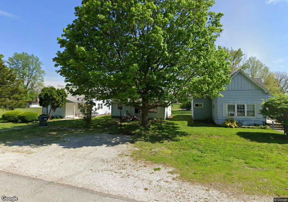
203 E 10th St Matthews, IN 46957
Estimated Value: $97,000 - $150,000
2
Beds
1
Bath
884
Sq Ft
$146/Sq Ft
Est. Value
About This Home
This home is located at 203 E 10th St, Matthews, IN 46957 and is currently estimated at $129,420, approximately $146 per square foot. 203 E 10th St is a home.
Ownership History
Date
Name
Owned For
Owner Type
Purchase Details
Closed on
Dec 14, 2022
Sold by
White Daniel E
Bought by
Moore Jennifer L
Current Estimated Value
Purchase Details
Closed on
Apr 27, 2012
Sold by
White Donald J and White Adrian R
Bought by
White Daniel E and White Sue A
Purchase Details
Closed on
Nov 10, 2011
Sold by
White Donald J and White Adrian R
Bought by
White Daniel E and White Sue A
Purchase Details
Closed on
Dec 16, 2008
Sold by
Bradley Ronda Marianne
Bought by
Oatess Marvin L and Anne Oatess F
Home Financials for this Owner
Home Financials are based on the most recent Mortgage that was taken out on this home.
Original Mortgage
$224,461
Interest Rate
6.19%
Mortgage Type
Purchase Money Mortgage
Create a Home Valuation Report for This Property
The Home Valuation Report is an in-depth analysis detailing your home's value as well as a comparison with similar homes in the area
Purchase History
| Date | Buyer | Sale Price | Title Company |
|---|---|---|---|
| Moore Jennifer L | -- | -- | |
| White Daniel E | -- | None Available | |
| White Daniel E | -- | None Available | |
| Oatess Marvin L | -- | None Available |
Source: Public Records
Mortgage History
| Date | Status | Borrower | Loan Amount |
|---|---|---|---|
| Previous Owner | Oatess Marvin L | $224,461 |
Source: Public Records
Tax History
| Year | Tax Paid | Tax Assessment Tax Assessment Total Assessment is a certain percentage of the fair market value that is determined by local assessors to be the total taxable value of land and additions on the property. | Land | Improvement |
|---|---|---|---|---|
| 2025 | $608 | $110,600 | $21,400 | $89,200 |
| 2024 | $608 | $98,800 | $21,400 | $77,400 |
| 2023 | $506 | $92,500 | $21,400 | $71,100 |
| 2022 | $437 | $80,800 | $19,600 | $61,200 |
| 2021 | $380 | $72,900 | $19,600 | $53,300 |
| 2020 | $335 | $69,500 | $18,600 | $50,900 |
| 2019 | $319 | $68,600 | $18,600 | $50,000 |
| 2018 | $281 | $63,000 | $18,600 | $44,400 |
| 2017 | $263 | $63,900 | $18,600 | $45,300 |
| 2016 | $253 | $63,900 | $18,600 | $45,300 |
| 2014 | $95 | $35,400 | $5,300 | $30,100 |
| 2013 | $95 | $35,400 | $5,300 | $30,100 |
Source: Public Records
Map
Nearby Homes
- 116 W 8th St
- 202 E Main St
- 11757 E 1000 S
- 7960 S 950 E
- 5711 W County Road 1070 N Lots#10 11 12 Unit 10, 11, and 12
- 200 N Mohee Dr
- 1 Meridian Dr
- 9 Lakeview Ct
- 9635 S 525 E
- 221 W Paulette Ave
- 200 E Mckinley St
- 2300 S 8th St
- 104 E Jackson St
- 0 W 300 S Unit LotWP001
- 0 W 300 S
- 2070 W 200 S
- 1016 S First St
- 3798 S 100 W
- 715 Silverman Blvd
- 776 W Harsax Dr
Your Personal Tour Guide
Ask me questions while you tour the home.