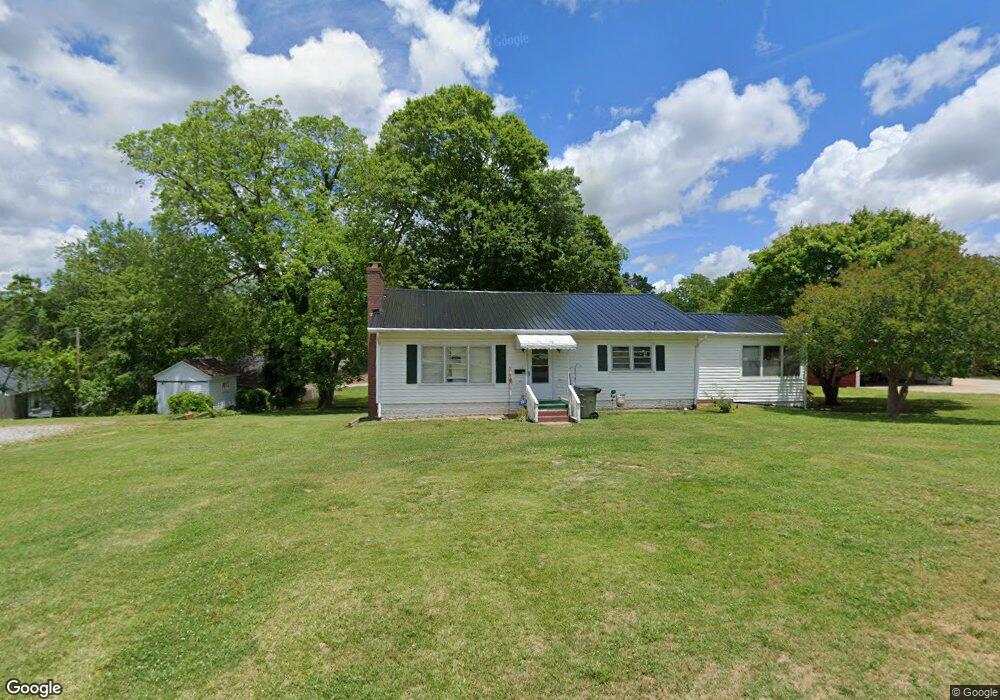
203 E North Broad St Walhalla, SC 29691
Estimated Value: $169,000 - $213,000
3
Beds
2
Baths
1,452
Sq Ft
$137/Sq Ft
Est. Value
About This Home
This home is located at 203 E North Broad St, Walhalla, SC 29691 and is currently estimated at $198,864, approximately $136 per square foot. 203 E North Broad St is a home located in Oconee County with nearby schools including James M. Brown Elementary School, Walhalla Middle School, and Walhalla High School.
Ownership History
Date
Name
Owned For
Owner Type
Purchase Details
Closed on
May 16, 2023
Sold by
Mcgaha Betty Kay
Bought by
Durkan Shawn A and Durkan Crystal V
Current Estimated Value
Purchase Details
Closed on
Oct 11, 2007
Sold by
Bolick Evelyn
Bought by
Mcgaha Betty Kay
Purchase Details
Closed on
Jun 7, 2007
Sold by
Brown Roger W and Gross Elaine M
Bought by
Bolick Evelyn
Create a Home Valuation Report for This Property
The Home Valuation Report is an in-depth analysis detailing your home's value as well as a comparison with similar homes in the area
Home Values in the Area
Average Home Value in this Area
Purchase History
| Date | Buyer | Sale Price | Title Company |
|---|---|---|---|
| Durkan Shawn A | $136,000 | None Listed On Document | |
| Durkan Shawn A | $136,000 | None Listed On Document | |
| Mcgaha Betty Kay | -- | None Available | |
| Bolick Evelyn | $87,000 | None Available |
Source: Public Records
Tax History Compared to Growth
Tax History
| Year | Tax Paid | Tax Assessment Tax Assessment Total Assessment is a certain percentage of the fair market value that is determined by local assessors to be the total taxable value of land and additions on the property. | Land | Improvement |
|---|---|---|---|---|
| 2025 | $1,038 | $5,381 | $435 | $4,946 |
| 2024 | $2,429 | $5,381 | $435 | $4,946 |
| 2023 | $1,341 | $3,019 | $435 | $2,584 |
| 2022 | $191 | $3,019 | $435 | $2,584 |
| 2021 | $214 | $2,905 | $435 | $2,470 |
| 2020 | $99 | $2,905 | $435 | $2,470 |
| 2019 | $99 | $0 | $0 | $0 |
| 2018 | $637 | $0 | $0 | $0 |
| 2017 | $214 | $0 | $0 | $0 |
| 2016 | $214 | $0 | $0 | $0 |
| 2015 | -- | $0 | $0 | $0 |
| 2014 | -- | $3,121 | $622 | $2,500 |
| 2013 | -- | $0 | $0 | $0 |
Source: Public Records
Map
Nearby Homes
- 412 N Spring St
- 301 Shadybrook Dr Unit B
- 00 S Spring St
- 00 Keowee St
- 00 N Church St
- 320 Jaynes St
- 208 Branch St
- 00 Branch St
- 606 W South Broad St
- 209 Moore Ave
- 203 Tulip Dr
- 804 W North Broad St
- 204 Friendship Dr
- 2423 Westminster Hwy
- 223 N Dogwood Dr
- 00 Fox Run Rd
- Lot 57 Fox Run Rd
- 221 Cub Cove Dr
- 101 Hazelwood Way
- 606 N Poplar St
- 201 E North Broad St
- 200 Hunter Ave
- 206 Hunter Ave
- 208 N Catherine St
- 000 Hunter Run Annex Unit Lot 7 Hunter Run A
- 0000 Hunter Run Annex Unit Lot 6Hunter Run Ann
- 200 N Catherine St
- 204 E North Broad St
- 206 E North Broad St
- 300 N Catherine St
- 1614 Hwy 183
- 203 Hunter Ave
- 01 N Spring St
- 205 Hunter Ave
- 203 Hunter Ave
- 02 N Spring St
- 111 N Catherine St
- 00 N Spring St
- 302 N Catherine St
- 301 N Catherine St