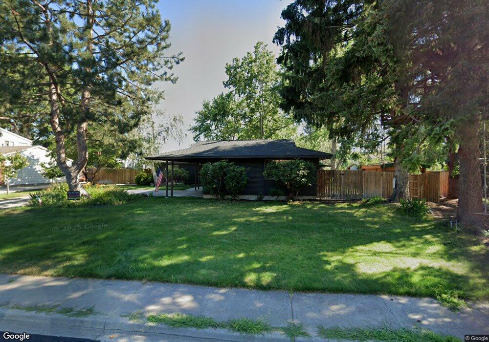
203 Enterprise Dr Richland, WA 99354
Estimated Value: $493,818 - $635,000
4
Beds
2
Baths
1,625
Sq Ft
$346/Sq Ft
Est. Value
About This Home
This home is located at 203 Enterprise Dr, Richland, WA 99354 and is currently estimated at $562,205, approximately $345 per square foot. 203 Enterprise Dr is a home located in Benton County with nearby schools including Jefferson Elementary School, Chief Joseph Middle School, and Hanford High School.
Ownership History
Date
Name
Owned For
Owner Type
Purchase Details
Closed on
Sep 1, 2017
Sold by
Hostetler David D and Murphy Ellyn M
Bought by
Egbert Robert and Egbert Sara
Current Estimated Value
Home Financials for this Owner
Home Financials are based on the most recent Mortgage that was taken out on this home.
Original Mortgage
$365,750
Outstanding Balance
$305,918
Interest Rate
3.96%
Mortgage Type
New Conventional
Estimated Equity
$256,287
Create a Home Valuation Report for This Property
The Home Valuation Report is an in-depth analysis detailing your home's value as well as a comparison with similar homes in the area
Home Values in the Area
Average Home Value in this Area
Purchase History
| Date | Buyer | Sale Price | Title Company |
|---|---|---|---|
| Egbert Robert | $447,908 | Cascade Title Company |
Source: Public Records
Mortgage History
| Date | Status | Borrower | Loan Amount |
|---|---|---|---|
| Open | Egbert Robert | $365,750 |
Source: Public Records
Tax History Compared to Growth
Tax History
| Year | Tax Paid | Tax Assessment Tax Assessment Total Assessment is a certain percentage of the fair market value that is determined by local assessors to be the total taxable value of land and additions on the property. | Land | Improvement |
|---|---|---|---|---|
| 2024 | $4,384 | $477,170 | $50,000 | $427,170 |
| 2023 | $4,384 | $468,170 | $50,000 | $418,170 |
| 2022 | $3,958 | $402,150 | $50,000 | $352,150 |
| 2021 | $3,727 | $358,120 | $50,000 | $308,120 |
| 2020 | $3,549 | $323,830 | $50,000 | $273,830 |
| 2019 | $2,990 | $291,260 | $48,000 | $243,260 |
| 2018 | $3,087 | $264,230 | $48,000 | $216,230 |
| 2017 | $2,719 | $228,190 | $48,000 | $180,190 |
| 2016 | $2,680 | $228,190 | $48,000 | $180,190 |
| 2015 | $2,731 | $228,190 | $48,000 | $180,190 |
| 2014 | -- | $228,190 | $48,000 | $180,190 |
| 2013 | -- | $228,190 | $48,000 | $180,190 |
Source: Public Records
Map
Nearby Homes
- 324 Saint St
- 2342 Davison Ave
- 2110 Davison Ave
- 42 Mercury Dr
- 2462 Mullet Ct
- 1947 Hetrick St
- 2445 Westmoreland Dr
- 49 Galaxy Ln
- 517 Catskill St
- 21 Nuclear Ln
- 1920 Howell Ave
- 515 Blue St
- 45 Cosmic Ln
- 733 Snyder St
- 50 Compton Ln Unit 51
- 721 Hanford St
- 325 McDonald Dr
- 78 Whitten St
- 11702 Cordon Crest Ct
- 11804 Cordon Crest Ct
- 209 Enterprise Dr
- 113 Enterprise Dr
- 248 Saint Ct
- 2209 Benton Ave
- 250 Saint Ct
- 215 Enterprise Dr
- 110 Enterprise Dr
- 212 Enterprise Dr
- 107 Enterprise Dr
- 252 Saint Ct
- 2215 Benton Ave
- 2212 Benton Ave
- 2207 Enterprise Dr
- 246 Saint Ct
- 221 Enterprise Dr
- 2214 Camas Ave
- 101 Enterprise Dr
- 2205 Camas Ave
- 254 Saint Ct
- 2213 Enterprise Dr