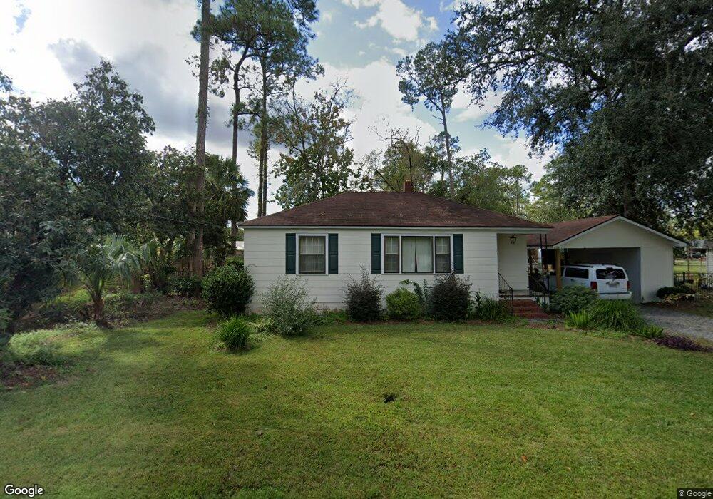
203 Flood Rd Baxley, GA 31513
Estimated Value: $81,000 - $192,000
--
Bed
--
Bath
1,103
Sq Ft
$106/Sq Ft
Est. Value
About This Home
This home is located at 203 Flood Rd, Baxley, GA 31513 and is currently estimated at $116,849, approximately $105 per square foot. 203 Flood Rd is a home with nearby schools including Appling Christian Academy.
Ownership History
Date
Name
Owned For
Owner Type
Purchase Details
Closed on
Aug 15, 2018
Sold by
Bass Roy E
Bought by
Vanderver Carrie J
Current Estimated Value
Home Financials for this Owner
Home Financials are based on the most recent Mortgage that was taken out on this home.
Original Mortgage
$38,250
Interest Rate
4.5%
Mortgage Type
New Conventional
Purchase Details
Closed on
Sep 30, 1998
Bought by
Bass Roy E
Create a Home Valuation Report for This Property
The Home Valuation Report is an in-depth analysis detailing your home's value as well as a comparison with similar homes in the area
Home Values in the Area
Average Home Value in this Area
Purchase History
| Date | Buyer | Sale Price | Title Company |
|---|---|---|---|
| Vanderver Carrie J | $45,000 | -- | |
| Bass Roy E | $30,000 | -- |
Source: Public Records
Mortgage History
| Date | Status | Borrower | Loan Amount |
|---|---|---|---|
| Closed | Vanderver Carrie J | $38,250 |
Source: Public Records
Tax History Compared to Growth
Tax History
| Year | Tax Paid | Tax Assessment Tax Assessment Total Assessment is a certain percentage of the fair market value that is determined by local assessors to be the total taxable value of land and additions on the property. | Land | Improvement |
|---|---|---|---|---|
| 2024 | $629 | $21,385 | $2,200 | $19,185 |
| 2023 | $629 | $20,689 | $1,504 | $19,185 |
| 2022 | $482 | $15,249 | $1,504 | $13,745 |
| 2021 | $482 | $15,249 | $1,504 | $13,745 |
| 2020 | $497 | $15,249 | $1,504 | $13,745 |
| 2019 | $505 | $15,249 | $1,504 | $13,745 |
| 2018 | $513 | $15,249 | $1,504 | $13,745 |
| 2017 | $513 | $15,249 | $1,504 | $13,745 |
| 2016 | $513 | $15,249 | $1,504 | $13,745 |
| 2015 | $425 | $15,249 | $1,504 | $13,745 |
| 2014 | $426 | $15,249 | $1,504 | $13,745 |
| 2013 | -- | $15,249 | $1,504 | $13,745 |
Source: Public Records
Map
Nearby Homes
- 0 Off Doc McTier Rd Unit 10656659
- 213 Fair St
- 298 S Main St
- 198 Holmesville Ave
- 199 Anthony St
- 273 Holmesville Ave
- 0 U S Route 1
- 0 W Parker St
- 0 W Parker St Unit 10547390
- 0 W Parker St Unit 22975
- 0 Hwy 341 Unit 23738
- 0 Hwy 341 Unit 10628717
- 0 Golden Isle W Unit 10595385
- 66 Weaver St
- 260 Central St
- 30 S McCrorie St
- 464 W Parker St
- 655 Beach Rd
- 0 Warrick Ln
- 675 N Main St