203 Governors Path Rutledge, TN 37861
Estimated Value: $610,882 - $921,000
3
Beds
2
Baths
2,970
Sq Ft
$263/Sq Ft
Est. Value
About This Home
This home is located at 203 Governors Path, Rutledge, TN 37861 and is currently estimated at $781,721, approximately $263 per square foot. 203 Governors Path is a home located in Grainger County with nearby schools including Rutledge Primary School, Rutledge Elementary School, and Rutledge Middle School.
Ownership History
Date
Name
Owned For
Owner Type
Purchase Details
Closed on
Mar 11, 2022
Sold by
Bryant Jacob K and Bryant Brooklyn R
Bought by
Scharf Peter P and Scharf Cindy A
Current Estimated Value
Purchase Details
Closed on
Mar 25, 2009
Sold by
Roos James
Bought by
Roos Marie L
Purchase Details
Closed on
Nov 21, 2008
Sold by
Hunley Dixie
Bought by
Roos James
Home Financials for this Owner
Home Financials are based on the most recent Mortgage that was taken out on this home.
Original Mortgage
$162,500
Interest Rate
6.01%
Mortgage Type
Cash
Purchase Details
Closed on
Jun 26, 2003
Bought by
Becs General Partnership
Create a Home Valuation Report for This Property
The Home Valuation Report is an in-depth analysis detailing your home's value as well as a comparison with similar homes in the area
Purchase History
We collect this data history from publicly available records. To have your information removed, we recommend requesting removal directly through your county’s website.
| Date | Buyer | Sale Price | Title Company |
|---|---|---|---|
| Scharf Peter P | $575,000 | Independence Title | |
| Roos Marie L | -- | -- | |
| Roos James | $325,000 | -- | |
| Becs General Partnership | $2,250,000 | -- |
Source: Public Records
Mortgage History
We collect this data history from publicly available records. To have your information removed, we recommend requesting removal directly through your county’s website.
| Date | Status | Borrower | Loan Amount |
|---|---|---|---|
| Previous Owner | Becs General Partnership | $162,500 |
Source: Public Records
Tax History
| Year | Tax Paid | Tax Assessment Tax Assessment Total Assessment is a certain percentage of the fair market value that is determined by local assessors to be the total taxable value of land and additions on the property. | Land | Improvement |
|---|---|---|---|---|
| 2025 | $2,820 | $120,000 | $9,000 | $111,000 |
| 2024 | $2,820 | $120,000 | $9,000 | $111,000 |
| 2023 | $2,820 | $120,000 | $9,000 | $111,000 |
| 2022 | $2,756 | $120,000 | $9,000 | $111,000 |
| 2021 | $2,756 | $120,000 | $9,000 | $111,000 |
| 2020 | $2,153 | $120,000 | $9,000 | $111,000 |
| 2019 | $2,153 | $76,875 | $7,825 | $69,050 |
| 2018 | $1,860 | $76,875 | $7,825 | $69,050 |
| 2017 | $1,860 | $76,875 | $7,825 | $69,050 |
| 2016 | $1,860 | $76,875 | $7,825 | $69,050 |
| 2015 | $1,901 | $76,875 | $7,825 | $69,050 |
| 2014 | $1,901 | $76,028 | $0 | $0 |
Source: Public Records
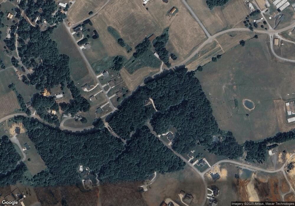
Map
Nearby Homes
- 0 Turley Mills Dr Unit 1339469
- 322 Blount Cir
- 451 Blount Cir
- 146 Eva Ln
- 380 Cherokee Cove
- 1518 Grainger Crossing
- 141 Neal Dr
- Lot 1 Cherokee Cove
- 248 Cherokee Cove
- 0 Rolling Hills
- 571 Turley Mills Dr
- 133 Rolling Hills
- 487 Peninsula Pointe
- Lot 6 Peninsula Pointe
- Lot 7 Peninsula Pointe
- Lot 2 Peninsula Pointe
- Lot 4 Peninsula Pointe
- Lot 5 Peninsula Pointe
- Lot 3 Peninsula Pointe
- Lot 2 Baye Rd
- 33 Blount Cir
- 23 Blount Cir
- 59 Blount Cir
- 45 Blount Cir
- 27 Blount Cir
- 19 Blount Cir
- 23 Blount Cir Unit LOT 23
- Lot 15 Blount Cir
- Lot 06 Governors Path
- 128 Ostrich Ln
- 744 Blount Cir
- 142 Ostrich Ln
- 34 Blount Cir Unit LOT 34
- 14 Blount Cir Unit LOT 14
- 49 Blount Cir
- 56 Blount Cir
- 57 Blount Cir
- 18 Blount Cir
- 17 Blount Cir
- 24 Blount Cir
Your Personal Tour Guide
Ask me questions while you tour the home.