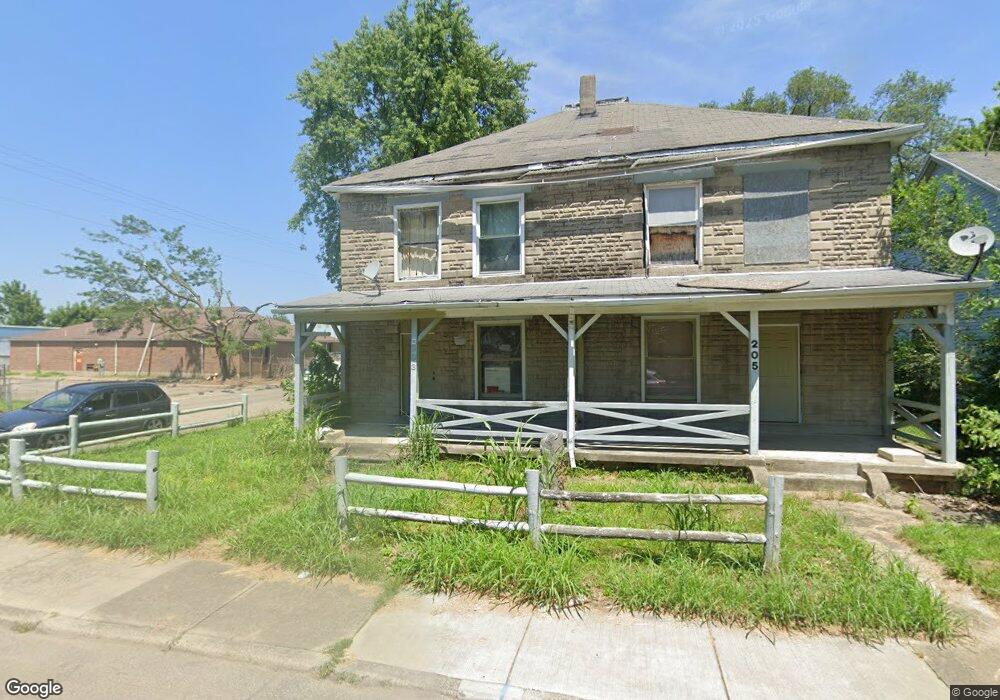
203 Hart St Dayton, OH 45404
Old North Dayton NeighborhoodEstimated Value: $94,158 - $205,000
6
Beds
2
Baths
3,520
Sq Ft
$42/Sq Ft
Est. Value
About This Home
This home is located at 203 Hart St, Dayton, OH 45404 and is currently estimated at $149,290, approximately $42 per square foot. 203 Hart St is a home located in Montgomery County with nearby schools including Kiser Elementary, Ruskin Elementary School, and Liberty High School.
Ownership History
Date
Name
Owned For
Owner Type
Purchase Details
Closed on
Mar 26, 2007
Sold by
Pressley Wanita Marie
Bought by
Davis Anthony Scott
Current Estimated Value
Purchase Details
Closed on
Jan 10, 2005
Sold by
Estate Of Larry B Davis Sr
Bought by
Pressley Wanita Marie and Davis Larry Blaine
Purchase Details
Closed on
Jul 28, 2004
Sold by
Mcarn Wanda M and Davis Wanda M
Bought by
Davis Larry B
Create a Home Valuation Report for This Property
The Home Valuation Report is an in-depth analysis detailing your home's value as well as a comparison with similar homes in the area
Home Values in the Area
Average Home Value in this Area
Purchase History
| Date | Buyer | Sale Price | Title Company |
|---|---|---|---|
| Davis Anthony Scott | -- | None Available | |
| Pressley Wanita Marie | -- | None Available | |
| Davis Larry B | -- | -- |
Source: Public Records
Tax History Compared to Growth
Tax History
| Year | Tax Paid | Tax Assessment Tax Assessment Total Assessment is a certain percentage of the fair market value that is determined by local assessors to be the total taxable value of land and additions on the property. | Land | Improvement |
|---|---|---|---|---|
| 2024 | $614 | $7,930 | $2,380 | $5,550 |
| 2023 | $614 | $7,930 | $2,380 | $5,550 |
| 2022 | $659 | $6,760 | $2,030 | $4,730 |
| 2021 | $657 | $6,760 | $2,030 | $4,730 |
| 2020 | $653 | $6,760 | $2,030 | $4,730 |
| 2019 | $665 | $6,030 | $1,710 | $4,320 |
| 2018 | $666 | $6,030 | $1,710 | $4,320 |
| 2017 | $662 | $6,030 | $1,710 | $4,320 |
| 2016 | $658 | $5,630 | $1,630 | $4,000 |
| 2015 | $643 | $5,630 | $1,630 | $4,000 |
| 2014 | $628 | $5,630 | $1,630 | $4,000 |
| 2012 | -- | $19,120 | $3,780 | $15,340 |
Source: Public Records
Map
Nearby Homes
- 426 Troy St
- 414 Hart St Unit 412
- 534 Maryland Ave
- 139 Grove Ave
- 147 Grove Ave
- 151 Grove Ave
- 729 Troy St
- 719 N Keowee St
- 730 Troy St
- 739 N Keowee St
- 1531 Chapel St
- 726 Taylor St Unit 128
- 718 Taylor St
- 82 Notre Dame Ave
- 96 Notre Dame Ave
- 36 Baltimore St
- 260 Grove Ave
- 70 Baltimore St
- 1409 Lamar St
- 905 Troy St