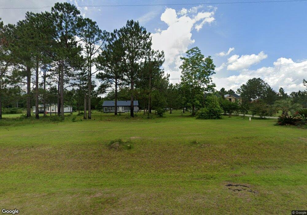
203 Hudson Rd Poulan, GA 31781
Estimated Value: $248,000 - $273,000
4
Beds
2
Baths
1,744
Sq Ft
$152/Sq Ft
Est. Value
About This Home
This home is located at 203 Hudson Rd, Poulan, GA 31781 and is currently estimated at $264,739, approximately $151 per square foot. 203 Hudson Rd is a home with nearby schools including Worth County Primary School, Worth County Elementary School, and Worth County Middle School.
Ownership History
Date
Name
Owned For
Owner Type
Purchase Details
Closed on
May 12, 2017
Sold by
W
Bought by
Johnson Bernard
Current Estimated Value
Home Financials for this Owner
Home Financials are based on the most recent Mortgage that was taken out on this home.
Original Mortgage
$17,000
Outstanding Balance
$13,052
Interest Rate
4.08%
Mortgage Type
New Conventional
Estimated Equity
$251,687
Purchase Details
Closed on
Sep 25, 2014
Sold by
Medders Enterprises Inc
Bought by
W & M Land Co Inc
Purchase Details
Closed on
Dec 5, 2003
Bought by
Dowell Carlos and Dowell Tara
Create a Home Valuation Report for This Property
The Home Valuation Report is an in-depth analysis detailing your home's value as well as a comparison with similar homes in the area
Home Values in the Area
Average Home Value in this Area
Purchase History
| Date | Buyer | Sale Price | Title Company |
|---|---|---|---|
| Johnson Bernard | $17,500 | -- | |
| W & M Land Co Inc | $30,000 | -- | |
| Dowell Carlos | $12,500 | -- |
Source: Public Records
Mortgage History
| Date | Status | Borrower | Loan Amount |
|---|---|---|---|
| Open | Johnson Bernard | $17,000 |
Source: Public Records
Tax History Compared to Growth
Tax History
| Year | Tax Paid | Tax Assessment Tax Assessment Total Assessment is a certain percentage of the fair market value that is determined by local assessors to be the total taxable value of land and additions on the property. | Land | Improvement |
|---|---|---|---|---|
| 2024 | $1,912 | $57,685 | $4,496 | $53,189 |
| 2023 | $1,912 | $47,766 | $4,496 | $43,270 |
| 2022 | $129 | $4,496 | $4,496 | $0 |
| 2021 | $129 | $4,496 | $4,496 | $0 |
| 2020 | $129 | $4,496 | $4,496 | $0 |
| 2019 | $129 | $4,496 | $4,496 | $0 |
| 2018 | $129 | $4,496 | $4,496 | $0 |
| 2017 | $129 | $4,496 | $4,496 | $0 |
| 2016 | $129 | $4,496 | $4,496 | $0 |
| 2015 | $129 | $4,496 | $4,496 | $0 |
| 2014 | $129 | $4,496 | $4,496 | $0 |
| 2013 | -- | $4,496 | $4,496 | $0 |
| 2012 | -- | $4,496 | $4,496 | $0 |
Source: Public Records
Map
Nearby Homes
- 185 Hudson Rd
- 163 Country Woods Ct
- 115 Northlake Dr
- 109 Huntington Ct
- 112 Creekwood Cir
- 196 Griffin Houston Rd
- 106 Rosewood Dr
- 104 Lynn Cir
- 117 Donna Dr
- 100 Carriage Ln
- 107 Dunbar Cir
- 103 Dunbar Cir
- 0 N Isabella St Unit 161570
- 1007 N Isabella St
- 1011 N Washington St
- 203 E Pinson St
- 801 N Washington St
- 0 Ga Hwy 82 Unit 913408
- 402 N McPhaul St
- 101 Elm St