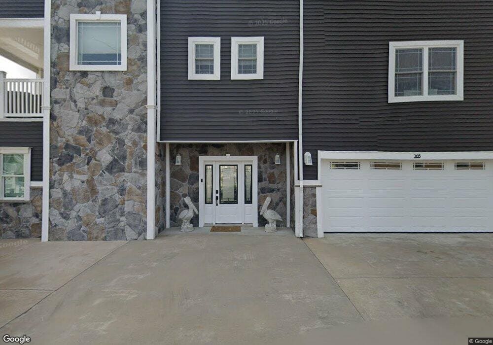
203 Johnson Rd Lavallette, NJ 08735
Dover Beaches North NeighborhoodEstimated Value: $815,000
4
Beds
3
Baths
672
Sq Ft
$1,213/Sq Ft
Est. Value
About This Home
This home is located at 203 Johnson Rd, Lavallette, NJ 08735 and is currently priced at $815,000, approximately $1,212 per square foot. 203 Johnson Rd is a home located in Ocean County.
Ownership History
Date
Name
Owned For
Owner Type
Purchase Details
Closed on
Apr 29, 2008
Sold by
Rossi Anthony
Bought by
Jannucci Frank and Jannucci Donna
Current Estimated Value
Purchase Details
Closed on
Oct 14, 2004
Sold by
Rossi Joseph G and Rossi Debra L
Bought by
Rossi Anthony
Home Financials for this Owner
Home Financials are based on the most recent Mortgage that was taken out on this home.
Original Mortgage
$300,000
Interest Rate
5.71%
Mortgage Type
Stand Alone First
Purchase Details
Closed on
May 17, 1996
Sold by
Knispel Karen
Bought by
Rossi Joseph and Rossi Debra
Home Financials for this Owner
Home Financials are based on the most recent Mortgage that was taken out on this home.
Original Mortgage
$91,000
Interest Rate
7.91%
Create a Home Valuation Report for This Property
The Home Valuation Report is an in-depth analysis detailing your home's value as well as a comparison with similar homes in the area
Home Values in the Area
Average Home Value in this Area
Purchase History
| Date | Buyer | Sale Price | Title Company |
|---|---|---|---|
| Jannucci Frank | $599,000 | None Available | |
| Rossi Anthony | $450,000 | Chicago Title Insurance Co | |
| Rossi Joseph | $130,000 | -- |
Source: Public Records
Mortgage History
| Date | Status | Borrower | Loan Amount |
|---|---|---|---|
| Previous Owner | Rossi Anthony | $300,000 | |
| Previous Owner | Rossi Joseph | $91,000 |
Source: Public Records
Tax History
| Year | Tax Paid | Tax Assessment Tax Assessment Total Assessment is a certain percentage of the fair market value that is determined by local assessors to be the total taxable value of land and additions on the property. | Land | Improvement |
|---|---|---|---|---|
| 2021 | $18,444 | $736,300 | $293,600 | $442,700 |
| 2020 | $18,363 | $736,300 | $293,600 | $442,700 |
| 2019 | $12,020 | $736,300 | $293,600 | $442,700 |
| 2018 | $12,054 | $736,300 | $293,600 | $442,700 |
| 2017 | $11,931 | $736,300 | $293,600 | $442,700 |
| 2016 | $16,736 | $293,600 | $293,600 | $0 |
| 2015 | $6,421 | $293,600 | $293,600 | $0 |
| 2014 | $6,113 | $293,600 | $293,600 | $0 |
Source: Public Records
Map
Nearby Homes
- 170 W Beach Way
- 348 Venice Dr
- 155 W Atlantic Way
- 109 W Tarpon Way
- 417 Delray Dr
- 111 W Marlin Way
- 53 E Bay Way
- 354 Naples Ct
- 359 Naples Ct
- 459 Boca Raton Dr
- 33 E Penguin Way
- 20 E Bonita Way
- 100 3rd Ave
- 351 W Bayview Dr
- 201 5th Ave
- 254 Harbor Ct
- 545 New Jersey 35
- 3201 Route 35 N Unit B
- 208 Mallard Ln
- 201 Mallard Ln
- 125 Johnson Rd
- 205 Johnson Rd
- 242 Strickland Blvd
- 244 Strickland Blvd
- 3481 Heron Ln
- 246 Strickland Blvd
- 125 Brooks Rd
- 124 Johnson Rd
- 123 Johnson Rd
- 248 Strickland Blvd Unit 2
- 3495 Heron Ln
- 209 Johnson Rd
- 123 Brooks Rd
- 122 Johnson Rd
- 125 Throssell Rd
- 250 Strickland Blvd
- 124 Brooks Rd
- 121 Johnson Rd
- 111 Throssell Rd
- 208 Johnson Rd
Your Personal Tour Guide
Ask me questions while you tour the home.