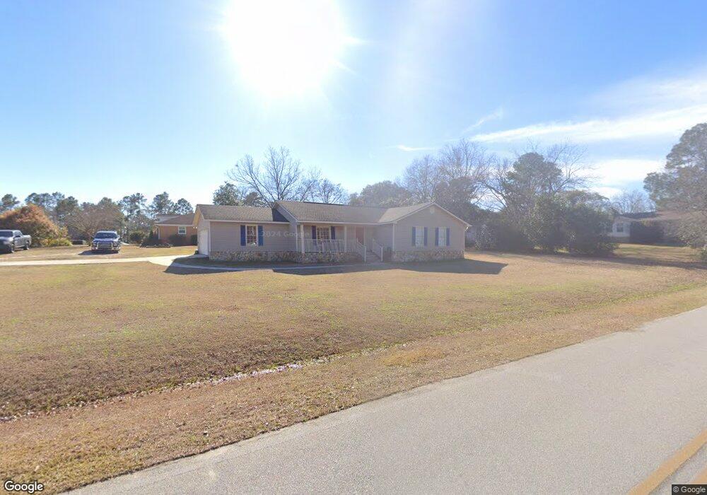
203 Jonathan Rd Statesboro, GA 30458
Estimated Value: $231,000 - $249,000
3
Beds
2
Baths
1,632
Sq Ft
$148/Sq Ft
Est. Value
About This Home
This home is located at 203 Jonathan Rd, Statesboro, GA 30458 and is currently estimated at $241,815, approximately $148 per square foot. 203 Jonathan Rd is a home located in Bulloch County with nearby schools including Mattie Lively Elementary School, Statesboro High School, and William James Middle School.
Ownership History
Date
Name
Owned For
Owner Type
Purchase Details
Closed on
Jul 17, 2008
Sold by
Not Provided
Bought by
Scripture Nicholas M
Current Estimated Value
Home Financials for this Owner
Home Financials are based on the most recent Mortgage that was taken out on this home.
Original Mortgage
$92,800
Outstanding Balance
$60,772
Interest Rate
6.37%
Mortgage Type
New Conventional
Estimated Equity
$181,043
Purchase Details
Closed on
Jun 1, 1999
Bought by
Stephens Kandis
Create a Home Valuation Report for This Property
The Home Valuation Report is an in-depth analysis detailing your home's value as well as a comparison with similar homes in the area
Home Values in the Area
Average Home Value in this Area
Purchase History
| Date | Buyer | Sale Price | Title Company |
|---|---|---|---|
| Scripture Nicholas M | $116,000 | -- | |
| Stephens Kandis | -- | -- |
Source: Public Records
Mortgage History
| Date | Status | Borrower | Loan Amount |
|---|---|---|---|
| Open | Scripture Nicholas M | $92,800 |
Source: Public Records
Tax History Compared to Growth
Tax History
| Year | Tax Paid | Tax Assessment Tax Assessment Total Assessment is a certain percentage of the fair market value that is determined by local assessors to be the total taxable value of land and additions on the property. | Land | Improvement |
|---|---|---|---|---|
| 2024 | $1,316 | $61,880 | $14,000 | $47,880 |
| 2023 | $1,600 | $68,600 | $10,000 | $58,600 |
| 2022 | $1,224 | $58,006 | $8,480 | $49,526 |
| 2021 | $978 | $45,646 | $8,480 | $37,166 |
| 2020 | $950 | $44,118 | $8,480 | $35,638 |
| 2019 | $937 | $43,321 | $8,040 | $35,281 |
| 2018 | $936 | $41,700 | $8,040 | $33,660 |
| 2017 | $917 | $40,470 | $8,040 | $32,430 |
| 2016 | $905 | $39,045 | $8,040 | $31,005 |
| 2015 | $888 | $38,206 | $8,040 | $30,166 |
| 2014 | $821 | $38,206 | $8,040 | $30,166 |
Source: Public Records
Map
Nearby Homes
- 208 Nesmith Way
- 448 Myrtle Crossing Ln
- 103 Oak Hollow Dr
- 437 Myrtle Crossing Ln
- 29 Jef Rd
- 197 Zetterower Rd
- 111 Zetterower Rd
- 3 Friar Tuck Trail
- 113 Ladd Cir
- 0 Miller Street Extension Unit LOT 17 10595930
- 0 Miller Street Extension Unit LOT 18 10595926
- 0 Miller Street Extension Unit LOT 19 10595919
- 0 Miller Street Extension Unit LOT 20 10595908
- 0 Miller Street Extension Unit LOT 21 10595866
- 0 Miller Street Extension Unit LOT 22 10595860
- 0 Miller Street Extension Unit LOT 23 10594167
- 141 Williams Rd
- 107 Fernhill Dr
- 124 Pin Oak Ln
- 203 Boston Fern Ln
- 0 Nesmith Dr Unit 2697861
- 228 Allenwood Dr
- 202 Jonathan Rd
- 226 Allenwood Dr
- 205 Nesmith Way
- 200 Jonathan Rd
- 206 Nesmith Way
- 206 Jonathan Rd
- 224 Allenwood Dr
- 0 Jonathan Rd Unit 8702978
- 0 Jonathan Rd Unit 7602414
- 0 Jonathan Rd Unit 7337356
- 0 Jonathan Rd
- 204 Nesmith Way
- 229 Allenwood Dr
- 203 Nesmith Way
- 208 Jonathan Rd
- 222 Allenwood Dr
- 212 Shuman Dr
- 234 Allenwood Dr