203 Kaynor Dr Unit F Waterbury, CT 06708
Bunker Hill NeighborhoodEstimated Value: $163,000 - $192,000
2
Beds
2
Baths
1,020
Sq Ft
$174/Sq Ft
Est. Value
About This Home
This home is located at 203 Kaynor Dr Unit F, Waterbury, CT 06708 and is currently estimated at $177,237, approximately $173 per square foot. 203 Kaynor Dr Unit F is a home located in New Haven County with nearby schools including Carrington Elementary School, Wilby High School, and St. Mary Magdalen School.
Ownership History
Date
Name
Owned For
Owner Type
Purchase Details
Closed on
Jan 8, 2008
Sold by
Bennett David A
Bought by
Fletcher Tyeona M
Current Estimated Value
Home Financials for this Owner
Home Financials are based on the most recent Mortgage that was taken out on this home.
Original Mortgage
$94,254
Outstanding Balance
$59,835
Interest Rate
6.27%
Mortgage Type
Purchase Money Mortgage
Estimated Equity
$117,402
Create a Home Valuation Report for This Property
The Home Valuation Report is an in-depth analysis detailing your home's value as well as a comparison with similar homes in the area
Home Values in the Area
Average Home Value in this Area
Purchase History
| Date | Buyer | Sale Price | Title Company |
|---|---|---|---|
| Fletcher Tyeona M | $95,000 | -- |
Source: Public Records
Mortgage History
| Date | Status | Borrower | Loan Amount |
|---|---|---|---|
| Open | Fletcher Tyeona M | $94,254 | |
| Previous Owner | Fletcher Tyeona M | $35,000 | |
| Previous Owner | Fletcher Tyeona M | $51,000 | |
| Previous Owner | Fletcher Tyeona M | $29,900 |
Source: Public Records
Tax History Compared to Growth
Tax History
| Year | Tax Paid | Tax Assessment Tax Assessment Total Assessment is a certain percentage of the fair market value that is determined by local assessors to be the total taxable value of land and additions on the property. | Land | Improvement |
|---|---|---|---|---|
| 2025 | $3,054 | $67,900 | $0 | $67,900 |
| 2024 | $3,357 | $67,900 | $0 | $67,900 |
| 2023 | $3,680 | $67,900 | $0 | $67,900 |
| 2022 | $1,530 | $25,410 | $0 | $25,410 |
| 2021 | $1,530 | $25,410 | $0 | $25,410 |
| 2020 | $1,530 | $25,410 | $0 | $25,410 |
| 2019 | $1,530 | $25,410 | $0 | $25,410 |
| 2018 | $1,530 | $25,410 | $0 | $25,410 |
| 2017 | $1,747 | $29,010 | $0 | $29,010 |
| 2016 | $1,747 | $29,010 | $0 | $29,010 |
| 2015 | $1,689 | $29,010 | $0 | $29,010 |
| 2014 | $1,689 | $29,010 | $0 | $29,010 |
Source: Public Records
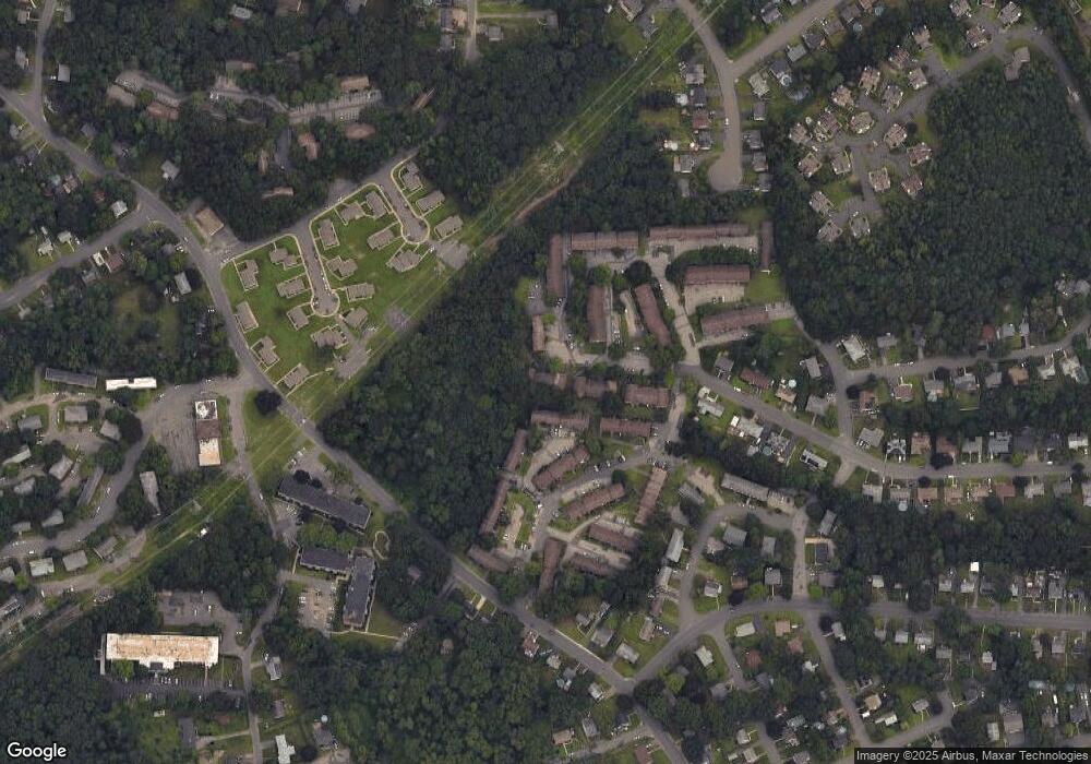
Map
Nearby Homes
- 203 Kaynor Dr Unit B
- 189 Kaynor Dr Unit C
- 192 Kaynor Dr Unit K
- 218 Oakville Ave Unit C
- 282 Oakville Ave
- 210 Oakville Ave Unit A
- 189 Oakville Ave
- 87 Kaynor Dr
- 27 Glendale Dr
- 284 Newridge Ave
- 101 Madeline Ave Unit 51
- 101 Madeline Ave Unit 55
- 101 Madeline Ave Unit 19
- 107 Angel Dr Unit B
- 112 Angel Dr Unit C
- 18 Roma Ave
- 186 Hubbell Ave
- 146 Herschel Ave
- 859 Bunker Hill Ave
- 640 Bunker Hill Ave
- 203 Kaynor Dr Unit H
- 203 Kaynor Dr Unit G
- 203 Kaynor Dr Unit E
- 203 Kaynor Dr Unit D
- 203 Kaynor Dr Unit C
- 203 Kaynor Dr Unit B
- 203 Kaynor Dr Unit A
- 232 Oakville Ave Unit H
- 232 Oakville Ave Unit G
- 232 Oakville Ave Unit F
- 232 Oakville Ave Unit E
- 232 Oakville Ave Unit D
- 232 Oakville Ave Unit C
- 232 Oakville Ave Unit B
- 232 Oakville Ave Unit A
- 232 Oakville Ave Unit G
- 184 Kaynor Dr Unit J
- 184 Kaynor Dr Unit I
- 184 Kaynor Dr Unit G