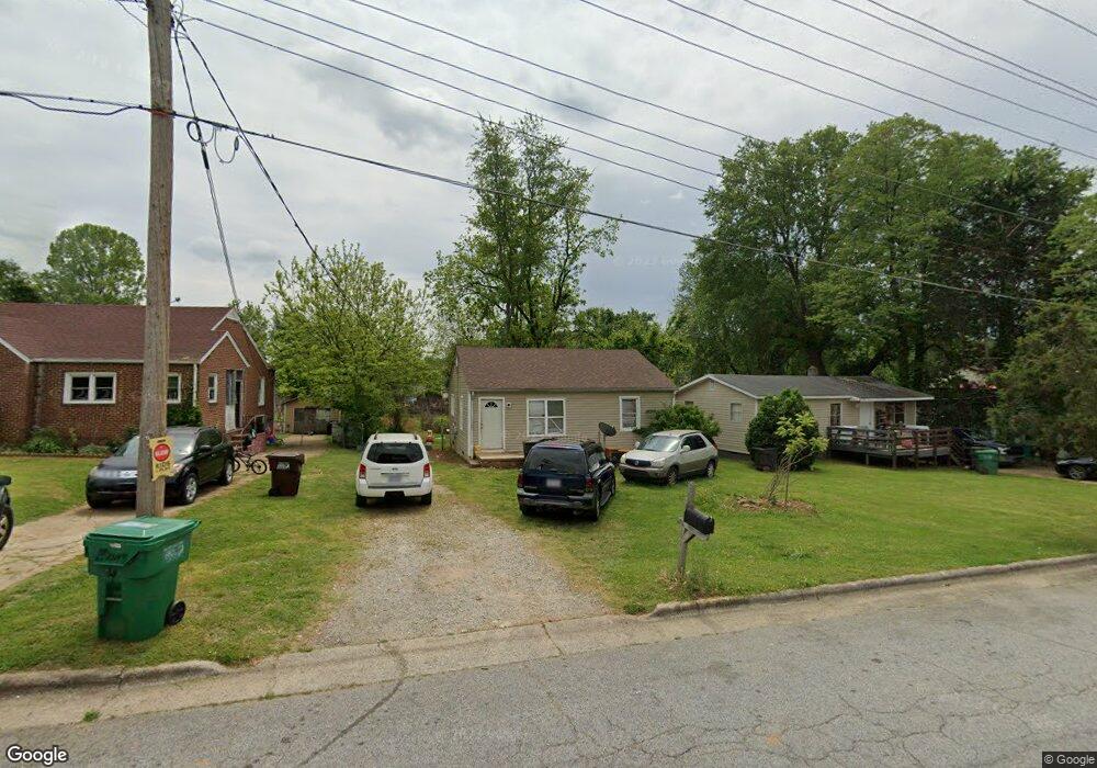
203 Kendall Ave High Point, NC 27260
Greater High Point NeighborhoodEstimated Value: $80,000 - $110,000
2
Beds
1
Bath
840
Sq Ft
$116/Sq Ft
Est. Value
About This Home
This home is located at 203 Kendall Ave, High Point, NC 27260 and is currently estimated at $97,836, approximately $116 per square foot. 203 Kendall Ave is a home located in Guilford County with nearby schools including Oak Hill Elementary School, Ferndale Middle School, and High Point Central High School.
Ownership History
Date
Name
Owned For
Owner Type
Purchase Details
Closed on
Jul 19, 2018
Sold by
Khan Sadia Bibi and Khan Zeezeeshan
Bought by
Khan Mohammad A
Current Estimated Value
Purchase Details
Closed on
Feb 15, 2013
Sold by
Khan Mohammad Azam
Bought by
Khan Sadia Bibi
Purchase Details
Closed on
Sep 23, 2009
Sold by
Cox Richard Alan and Cox Melody S
Bought by
Khan Mohammad Azam
Purchase Details
Closed on
Jan 17, 2007
Sold by
Watson Frederic Allen and Watson Judith R
Bought by
Cox Richard Alan and Cox Melody S
Create a Home Valuation Report for This Property
The Home Valuation Report is an in-depth analysis detailing your home's value as well as a comparison with similar homes in the area
Home Values in the Area
Average Home Value in this Area
Purchase History
| Date | Buyer | Sale Price | Title Company |
|---|---|---|---|
| Khan Mohammad A | -- | None Available | |
| Khan Sadia Bibi | -- | None Available | |
| Khan Mohammad Azam | $36,000 | None Available | |
| Cox Richard Alan | $12,000 | None Available |
Source: Public Records
Tax History
| Year | Tax Paid | Tax Assessment Tax Assessment Total Assessment is a certain percentage of the fair market value that is determined by local assessors to be the total taxable value of land and additions on the property. | Land | Improvement |
|---|---|---|---|---|
| 2025 | $478 | $34,700 | $10,000 | $24,700 |
| 2024 | $478 | $34,700 | $10,000 | $24,700 |
| 2023 | $478 | $34,700 | $10,000 | $24,700 |
| 2022 | $468 | $34,700 | $10,000 | $24,700 |
| 2021 | $419 | $30,400 | $7,000 | $23,400 |
| 2020 | $419 | $30,400 | $7,000 | $23,400 |
| 2019 | $419 | $30,400 | $0 | $0 |
| 2018 | $417 | $30,400 | $0 | $0 |
| 2017 | $417 | $30,400 | $0 | $0 |
| 2016 | $396 | $28,200 | $0 | $0 |
| 2015 | $398 | $28,200 | $0 | $0 |
| 2014 | $404 | $28,200 | $0 | $0 |
Source: Public Records
Map
Nearby Homes
- 4304 Griffins Gate Ln
- 206 Model Farm Rd
- 1504 Cloverdale St
- 206 E Moore Ave
- 323 Coltrane Ave
- 1213 S Elm St
- 1217 Cloverdale St
- 308 W Kearns Ave
- 312 Model Farm Rd
- 909 Mill Ave
- 335 Nathan Hunt Dr
- 1114 Richland St
- 1422 Valley Ridge Dr
- 537 Flint Ave
- 925 Randolph St
- 1021 Asheboro St
- 405 W Willis Ave
- 1010 Grace St
- 407 W Willis Ave
- 607 Martha Place
- 201 Kendall Ave
- 205 Kendall Ave
- 207 Kendall Ave
- 123 Kendall Ave
- 209 Kendall Ave
- 1826 Branch St
- 208 Kendall Ave
- 121 Kendall Ave
- 124 Kendall Ave
- 1824 Branch St
- 119 Kendall Ave
- 122 Kendall Ave
- 1823 Branch St
- 136 Kenilworth Dr
- 311 Kendall Ave
- 132 Kenilworth Dr
- 140 & 142 Kenilworth Dr
- 150 Kenilworth Dr Unit 152
- 120 Kendall Ave
- 1910 King St
Your Personal Tour Guide
Ask me questions while you tour the home.