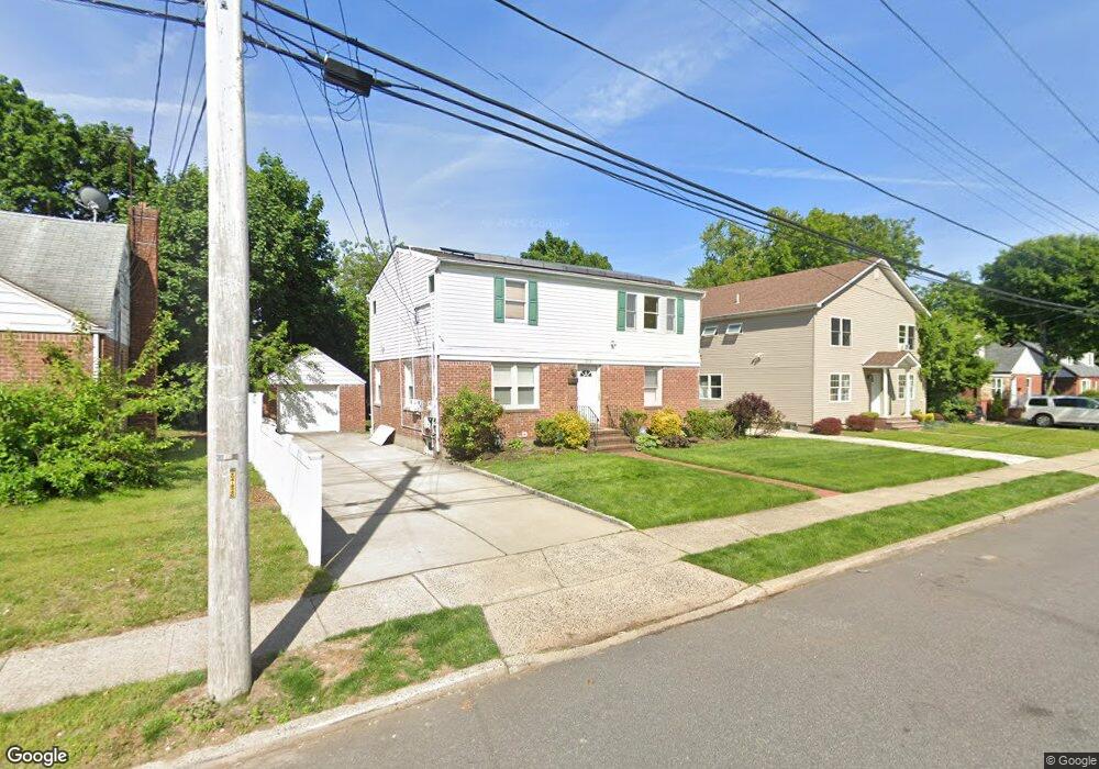
203 Lawrence St Uniondale, NY 11553
Estimated Value: $598,000 - $669,392
6
Beds
2
Baths
1,680
Sq Ft
$377/Sq Ft
Est. Value
About This Home
This home is located at 203 Lawrence St, Uniondale, NY 11553 and is currently estimated at $633,696, approximately $377 per square foot. 203 Lawrence St is a home located in Nassau County with nearby schools including California Avenue Elementary School, Turtle Hook Middle School, and Uniondale High School.
Ownership History
Date
Name
Owned For
Owner Type
Purchase Details
Closed on
Aug 28, 2019
Sold by
Pytel Nicole
Bought by
203 Lawrence St Llc
Current Estimated Value
Home Financials for this Owner
Home Financials are based on the most recent Mortgage that was taken out on this home.
Original Mortgage
$276,000
Outstanding Balance
$122,752
Interest Rate
3.7%
Mortgage Type
New Conventional
Estimated Equity
$510,944
Create a Home Valuation Report for This Property
The Home Valuation Report is an in-depth analysis detailing your home's value as well as a comparison with similar homes in the area
Home Values in the Area
Average Home Value in this Area
Purchase History
| Date | Buyer | Sale Price | Title Company |
|---|---|---|---|
| 203 Lawrence St Llc | -- | Stewart Title |
Source: Public Records
Mortgage History
| Date | Status | Borrower | Loan Amount |
|---|---|---|---|
| Open | 203 Lawrence St Llc | $276,000 |
Source: Public Records
Tax History Compared to Growth
Tax History
| Year | Tax Paid | Tax Assessment Tax Assessment Total Assessment is a certain percentage of the fair market value that is determined by local assessors to be the total taxable value of land and additions on the property. | Land | Improvement |
|---|---|---|---|---|
| 2025 | $9,504 | $420 | $136 | $284 |
| 2024 | $3,621 | $427 | $138 | $289 |
| 2023 | $8,433 | $440 | $142 | $298 |
| 2022 | $8,433 | $427 | $138 | $289 |
| 2021 | $9,699 | $422 | $123 | $299 |
| 2020 | $6,838 | $535 | $442 | $93 |
| 2019 | $2,872 | $535 | $442 | $93 |
| 2018 | $4,453 | $535 | $0 | $0 |
| 2017 | $4,935 | $621 | $442 | $179 |
| 2016 | $7,955 | $621 | $362 | $259 |
| 2015 | $2,770 | $608 | $361 | $247 |
| 2014 | $2,770 | $608 | $361 | $247 |
| 2013 | $3,512 | $745 | $442 | $303 |
Source: Public Records
Map
Nearby Homes
- 227 Warren St
- 155 Fairview Blvd
- 136 Fairview Blvd
- 299 Warren St
- 305 Warren St
- 15 Pilot St
- 7 Pilot St
- 186 Westbury Blvd
- 58 Remsen Ave
- 64 Fairview Blvd
- 65 Surrey Ln
- 210 Dartmouth St
- 106-108 Remsen Ave
- 199 Wellesley St
- 204-206 Cornell St
- 153 Meadow St
- 210 Wellington St
- 53 James L Burrell Ave
- 66 Warner Ave
- 28 Dakota Place
- 197 Lawrence St
- 209 Lawrence St
- 191 Lawrence St
- 208 Rhodes Ave
- 204 Rhodes Ave
- 215 Lawrence St
- 200 Rhodes Ave
- 216 Rhodes Ave
- 202 Lawrence St
- 192 Rhodes Ave
- 208 Lawrence St
- 185 Lawrence St
- 196 Lawrence St
- 221 Lawrence St
- 222 Rhodes Ave
- 222 Rhodes Ave
- 186 Rhodes Ave
- 190 Lawrence St
- 179 Lawrence St
- 220 Lawrence St