Estimated Value: $542,000 - $581,000
4
Beds
3
Baths
3,029
Sq Ft
$185/Sq Ft
Est. Value
About This Home
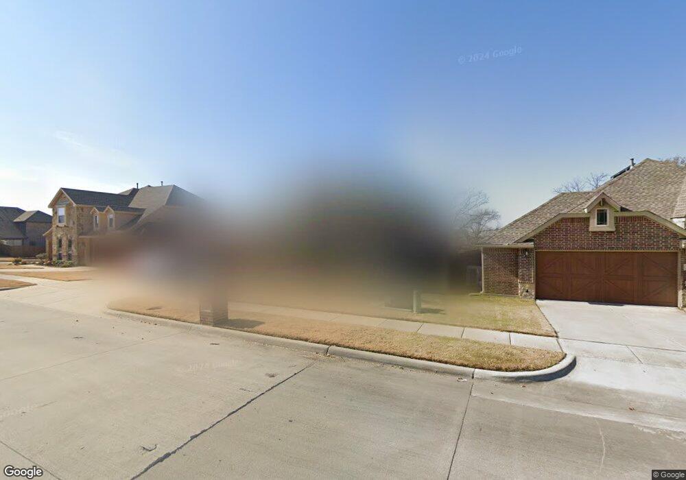
This home is located at 203 Lyndhurst Dr, Wylie, TX 75098 and is currently estimated at $560,757, approximately $185 per square foot. 203 Lyndhurst Dr is a home located in Collin County with nearby schools including P M Akin Elementary School, AB Harrison Intermediate School, and Grady Burnett J High School.
Ownership History
Date
Name
Owned For
Owner Type
Purchase Details
Closed on
Oct 11, 2017
Sold by
Brown Jonathan and Brown Heather C
Bought by
Walker Kennith J and Walker Emily
Current Estimated Value
Home Financials for this Owner
Home Financials are based on the most recent Mortgage that was taken out on this home.
Original Mortgage
$288,000
Outstanding Balance
$240,626
Interest Rate
3.83%
Mortgage Type
New Conventional
Estimated Equity
$320,131
Purchase Details
Closed on
Aug 22, 2014
Sold by
Bloomfield Homes Lp
Bought by
Brown Jonathan and Brown Heather C
Home Financials for this Owner
Home Financials are based on the most recent Mortgage that was taken out on this home.
Original Mortgage
$299,175
Interest Rate
4.19%
Mortgage Type
VA
Create a Home Valuation Report for This Property
The Home Valuation Report is an in-depth analysis detailing your home's value as well as a comparison with similar homes in the area
Home Values in the Area
Average Home Value in this Area
Purchase History
| Date | Buyer | Sale Price | Title Company |
|---|---|---|---|
| Walker Kennith J | -- | Providence Title Co | |
| Brown Jonathan | -- | Fatco |
Source: Public Records
Mortgage History
| Date | Status | Borrower | Loan Amount |
|---|---|---|---|
| Open | Walker Kennith J | $288,000 | |
| Previous Owner | Brown Jonathan | $299,175 |
Source: Public Records
Tax History Compared to Growth
Tax History
| Year | Tax Paid | Tax Assessment Tax Assessment Total Assessment is a certain percentage of the fair market value that is determined by local assessors to be the total taxable value of land and additions on the property. | Land | Improvement |
|---|---|---|---|---|
| 2025 | $8,470 | $524,193 | $130,000 | $394,193 |
| 2024 | $8,470 | $496,463 | $130,000 | $398,698 |
| 2023 | $8,470 | $451,330 | $110,000 | $408,505 |
| 2022 | $9,002 | $410,300 | $110,000 | $357,060 |
| 2021 | $8,776 | $373,000 | $80,000 | $293,000 |
| 2020 | $8,804 | $354,566 | $80,000 | $274,566 |
| 2019 | $9,712 | $369,595 | $80,000 | $289,595 |
| 2018 | $9,692 | $359,873 | $80,500 | $279,373 |
| 2017 | $9,464 | $351,435 | $80,500 | $270,935 |
| 2016 | $9,395 | $338,147 | $80,500 | $257,647 |
| 2015 | $997 | $305,182 | $80,500 | $224,682 |
Source: Public Records
Map
Nearby Homes
- 213 N West A Allen Blvd
- 1056 Fairview Dr
- 1209 Surrey Cir
- 107 Windy Knoll Ln
- 304 Hawthorn Dr
- 310 Hawthorn Dr
- 409 Cedar Ridge Dr
- 306 Foxwood Ct
- 312 Maltese Cir
- 216 Cedar Ridge St
- 825 Foxwood Ln
- 1115 Nighthawk Dr
- 820 Foxwood Ln
- 114 Liberty Dr
- 825 Forest Edge Ln
- 104 Rushcreek Dr
- 1201 E Stone Rd
- 207 Spence Dr
- 811 Forest Edge Ln
- 1308 London Dr
- 201 Lyndhurst Dr
- 201 Lyndhurst Dr
- 205 Lyndhurst Dr
- 1001 Stanbridge Dr
- 1005 Standbridge Dr
- 200 Lyndhurst Dr
- 202 Lyndhurst Dr
- 1016 Standbridge Dr
- 207 Lyndhurst Dr
- 120 Lyndhurst Dr
- 200 Gatwick Ct
- 118 Lyndhurst Dr
- 206 Lyndhurst Dr
- 209 Lyndhurst Dr
- 1000 Cambridge Ct
- 202 Gatwick Ct
- 201 Gatwick Ct
- 105 S West A Allen Blvd
- 116 Lyndhurst Dr
- 105 S W a Allen Blvd