203 Macoun Way Glassboro, NJ 08028
Estimated Value: $372,000 - $425,000
--
Bed
--
Bath
1,720
Sq Ft
$230/Sq Ft
Est. Value
About This Home
This home is located at 203 Macoun Way, Glassboro, NJ 08028 and is currently estimated at $395,854, approximately $230 per square foot. 203 Macoun Way is a home with nearby schools including J Harvey Rodgers School, Dorothy L Bullock Elementary, and Glassboro Intermediate School.
Ownership History
Date
Name
Owned For
Owner Type
Purchase Details
Closed on
Dec 29, 2016
Sold by
Nvrt Inc
Bought by
Mapp Dawaan and Johnson Dominique
Current Estimated Value
Home Financials for this Owner
Home Financials are based on the most recent Mortgage that was taken out on this home.
Original Mortgage
$204,364
Outstanding Balance
$170,211
Interest Rate
4.5%
Mortgage Type
FHA
Estimated Equity
$225,643
Purchase Details
Closed on
Jul 15, 2016
Sold by
Aura Development Group Llc
Bought by
Nvr Inc and Ryan Homes
Create a Home Valuation Report for This Property
The Home Valuation Report is an in-depth analysis detailing your home's value as well as a comparison with similar homes in the area
Home Values in the Area
Average Home Value in this Area
Purchase History
| Date | Buyer | Sale Price | Title Company |
|---|---|---|---|
| Mapp Dawaan | $208,151 | None Available | |
| Nvr Inc | $220,000 | Title America Agency Corp |
Source: Public Records
Mortgage History
| Date | Status | Borrower | Loan Amount |
|---|---|---|---|
| Open | Mapp Dawaan | $204,364 |
Source: Public Records
Tax History Compared to Growth
Tax History
| Year | Tax Paid | Tax Assessment Tax Assessment Total Assessment is a certain percentage of the fair market value that is determined by local assessors to be the total taxable value of land and additions on the property. | Land | Improvement |
|---|---|---|---|---|
| 2025 | $7,413 | $210,600 | $57,800 | $152,800 |
| 2024 | $6,844 | $210,600 | $57,800 | $152,800 |
| 2023 | $6,844 | $195,600 | $42,800 | $152,800 |
| 2022 | $1,483 | $42,800 | $42,800 | $0 |
| 2021 | $1,508 | $42,800 | $42,800 | $0 |
| 2020 | $1,516 | $42,800 | $42,800 | $0 |
| 2019 | $1,519 | $42,800 | $42,800 | $0 |
| 2018 | $1,520 | $42,800 | $42,800 | $0 |
| 2017 | $1,527 | $42,800 | $42,800 | $0 |
| 2016 | $742 | $21,400 | $21,400 | $0 |
Source: Public Records
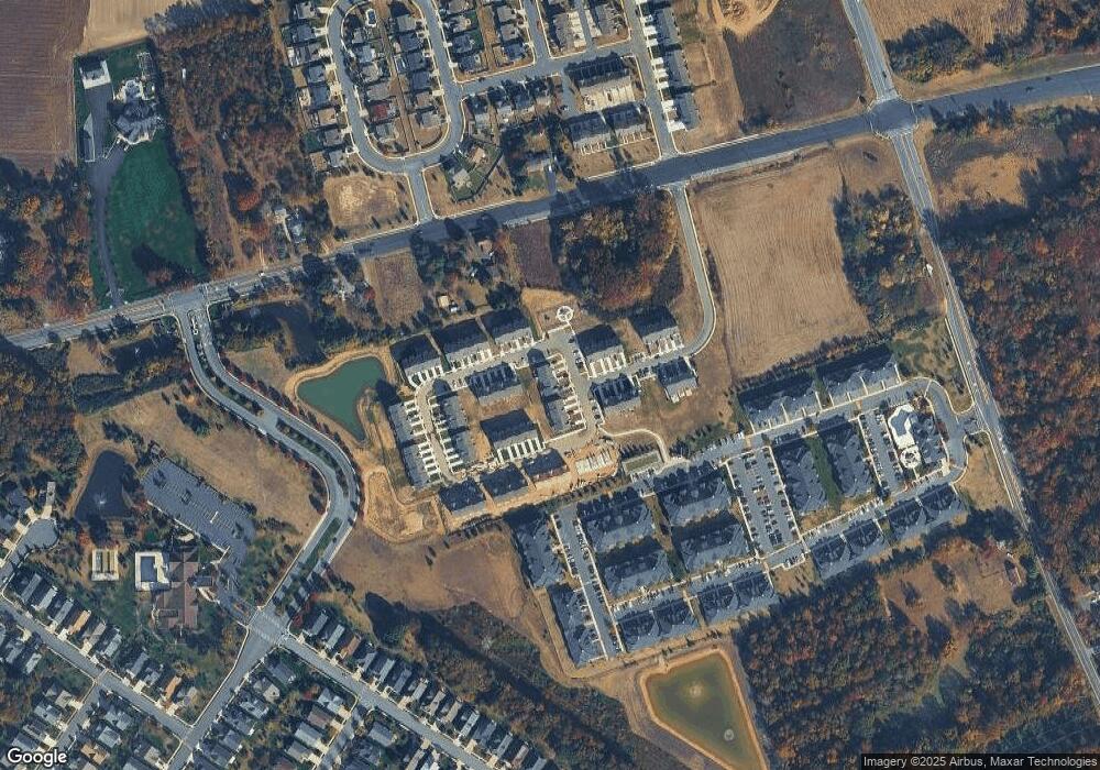
Map
Nearby Homes
- 475 Salter Ct
- 449 Wistar Place
- 422 Wistar Place
- 113 Summit St
- 114 Heritage Loop
- 140 Weatherby Ln
- 317 Sturgess Ct
- 361 Grande Blvd
- 104 Smortz Ln
- 205 Winesap Way
- 317 Richwood Rd
- 120 Peace Ln
- 131 Evergreen Pkwy
- 340 Honeymoon Rd
- 350 Honeymoon Rd
- 0 Williamson Ln
- 793 Clems Run
- B. 17 L.6&7.01 Richwood Rd
- 825 Fordham Place
- 102 Stoneham Dr