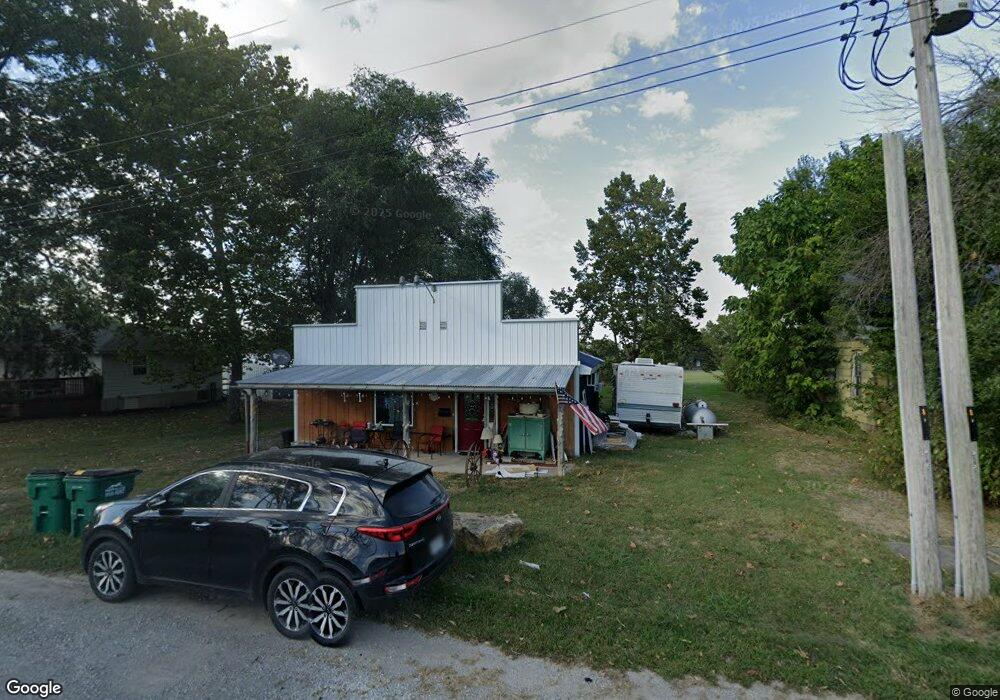
203 Main St Mc Fall, MO 64657
Estimated Value: $68,979 - $236,000
2
Beds
3
Baths
1,320
Sq Ft
$116/Sq Ft
Est. Value
About This Home
This home is located at 203 Main St, Mc Fall, MO 64657 and is currently estimated at $152,490, approximately $115 per square foot. 203 Main St is a home with nearby schools including Pattonsburg Elementary School and Pattonsburg High School.
Ownership History
Date
Name
Owned For
Owner Type
Purchase Details
Closed on
Aug 1, 2005
Bought by
Goble Bill and Goble Sandy
Current Estimated Value
Create a Home Valuation Report for This Property
The Home Valuation Report is an in-depth analysis detailing your home's value as well as a comparison with similar homes in the area
Purchase History
| Date | Buyer | Sale Price | Title Company |
|---|---|---|---|
| Goble Bill | $6,000 | -- |
Source: Public Records
Tax History
| Year | Tax Paid | Tax Assessment Tax Assessment Total Assessment is a certain percentage of the fair market value that is determined by local assessors to be the total taxable value of land and additions on the property. | Land | Improvement |
|---|---|---|---|---|
| 2024 | $412 | $4,350 | $310 | $4,040 |
| 2023 | $389 | $4,350 | $310 | $4,040 |
| 2022 | $353 | $3,940 | $150 | $3,790 |
| 2021 | $340 | $3,790 | $150 | $3,640 |
| 2020 | $335 | $3,720 | $80 | $3,640 |
| 2019 | $335 | $3,710 | $80 | $3,630 |
| 2018 | $331 | $3,709 | $76 | $3,633 |
| 2017 | $562 | $6,246 | $128 | $6,118 |
| 2016 | $560 | $6,250 | $130 | $6,120 |
| 2015 | -- | $6,250 | $130 | $6,120 |
| 2013 | -- | $0 | $0 | $0 |
| 2011 | -- | $0 | $0 | $0 |
Source: Public Records
Map
Nearby Homes
- 0 600 Rd
- 600 Road
- 12092 Flint Ave
- 6108 State Highway Z N A
- 6108 State Z Hwy
- 0000 Gentryville Trail
- King Rd
- 0 NE King Rd
- 0 N Highway 69
- Tract 5 N Highway 69
- Tract 4 N Highway 69
- 100 Meadows Ln
- 702 Oak St
- 14800 W Co Road P
- 0 Crab Orchard Trail
- 0 W St Unit 11417551
- Tract 2 137th St
- Tract 3 137th St
- 33646 W Laser Rd
- 18615 137th St
Your Personal Tour Guide
Ask me questions while you tour the home.