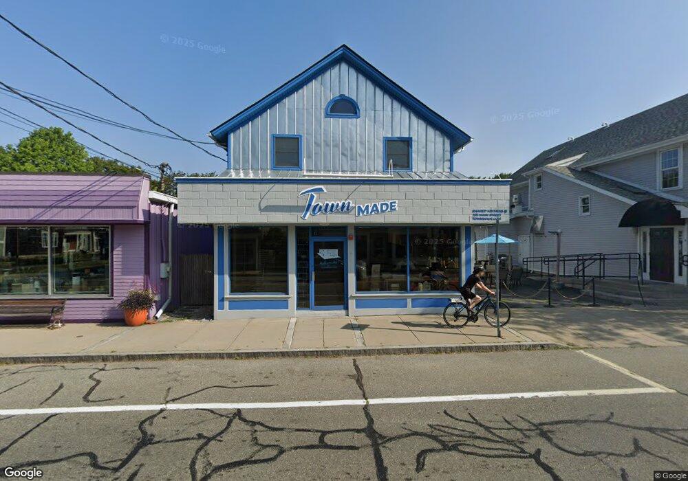
203 Main St South Kingstown, RI 02879
Estimated Value: $1,063,435
--
Bed
--
Bath
3,054
Sq Ft
$348/Sq Ft
Est. Value
About This Home
This home is located at 203 Main St, South Kingstown, RI 02879 and is currently estimated at $1,063,435, approximately $348 per square foot. 203 Main St is a home located in Washington County with nearby schools including South Kingstown High School, Monsignor Matthew Clarke Catholic Regional School, and Bradley School-South.
Ownership History
Date
Name
Owned For
Owner Type
Purchase Details
Closed on
Aug 7, 2007
Sold by
Habell Enterprises Llc
Bought by
Halberg Scot V
Current Estimated Value
Home Financials for this Owner
Home Financials are based on the most recent Mortgage that was taken out on this home.
Original Mortgage
$44,115
Interest Rate
6.73%
Mortgage Type
Commercial
Purchase Details
Closed on
Jul 1, 2004
Sold by
Goodwin Shawn
Bought by
Hallberg Scot V
Create a Home Valuation Report for This Property
The Home Valuation Report is an in-depth analysis detailing your home's value as well as a comparison with similar homes in the area
Home Values in the Area
Average Home Value in this Area
Purchase History
| Date | Buyer | Sale Price | Title Company |
|---|---|---|---|
| Halberg Scot V | $525,000 | -- | |
| Hallberg Scot V | $375,000 | -- |
Source: Public Records
Mortgage History
| Date | Status | Borrower | Loan Amount |
|---|---|---|---|
| Open | Hallberg Scot V | $350,000 | |
| Open | Hallberg Scot V | $853,000 | |
| Closed | Hallberg Scot V | $44,115 | |
| Closed | Hallberg Scot V | $100,000 |
Source: Public Records
Tax History Compared to Growth
Tax History
| Year | Tax Paid | Tax Assessment Tax Assessment Total Assessment is a certain percentage of the fair market value that is determined by local assessors to be the total taxable value of land and additions on the property. | Land | Improvement |
|---|---|---|---|---|
| 2025 | $5,800 | $648,800 | $0 | $648,800 |
| 2024 | $5,976 | $540,800 | $0 | $540,800 |
| 2023 | $5,976 | $540,800 | $0 | $540,800 |
| 2022 | $5,922 | $540,800 | $0 | $540,800 |
| 2021 | $7,624 | $527,600 | $0 | $527,600 |
| 2020 | $7,624 | $527,600 | $0 | $527,600 |
| 2019 | $7,624 | $527,600 | $0 | $527,600 |
| 2018 | $7,424 | $473,500 | $0 | $473,500 |
| 2017 | $7,249 | $473,500 | $0 | $473,500 |
| 2016 | $7,145 | $473,500 | $0 | $473,500 |
| 2015 | $6,958 | $448,300 | $0 | $448,300 |
| 2014 | $6,940 | $448,300 | $0 | $448,300 |
Source: Public Records
Map
Nearby Homes
- 37 Columbia St
- 10 Hendricks St
- 39 Hazard Ave
- 156 River St Unit B
- 45 Cherry Ln Unit C
- 98 Meadow Ave
- 31 Winter St
- 40 Amos St
- 48 Stone Bridge Dr
- 70 Broad Rock Rd
- 23 Rockland Dr
- 3 Larkin St
- 128 Rodman St
- 35 Whittier Dr
- 37 Whittier Dr
- 228 Rodman St
- 128 North Rd
- 128 Camden Ct
- 17 Celestial Heights Dr
- 30 Sweet Meadows Ct Unit 26