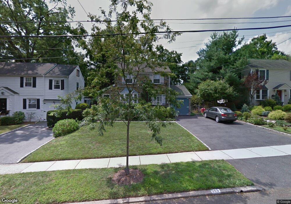
203 Manning Ave River Edge, NJ 07661
Estimated Value: $1,040,000 - $1,322,000
4
Beds
3
Baths
2,251
Sq Ft
$527/Sq Ft
Est. Value
About This Home
This home is located at 203 Manning Ave, River Edge, NJ 07661 and is currently estimated at $1,186,872, approximately $527 per square foot. 203 Manning Ave is a home located in Bergen County with nearby schools including Cherry Hill School, River Dell Middle School, and River Dell Regional High School.
Ownership History
Date
Name
Owned For
Owner Type
Purchase Details
Closed on
Dec 10, 2020
Sold by
203 Manning Llc
Bought by
Bhalla Sunil Randhirkumar and Jawanjal Pallavi Ramesh
Current Estimated Value
Home Financials for this Owner
Home Financials are based on the most recent Mortgage that was taken out on this home.
Original Mortgage
$700,000
Interest Rate
2.7%
Mortgage Type
New Conventional
Purchase Details
Closed on
Oct 26, 2019
Sold by
Dunton Eugene F and Dunton Rosemary D
Bought by
203 Manning Llc
Purchase Details
Closed on
Jul 31, 2014
Sold by
Dunton Eugene and Dunton Rosemary
Bought by
Dunton Eugene F and Dunton Rosemary D
Create a Home Valuation Report for This Property
The Home Valuation Report is an in-depth analysis detailing your home's value as well as a comparison with similar homes in the area
Home Values in the Area
Average Home Value in this Area
Purchase History
| Date | Buyer | Sale Price | Title Company |
|---|---|---|---|
| Bhalla Sunil Randhirkumar | $875,000 | Safeland Title Agency Llc | |
| Bhalla Sunil | $875,000 | Safe Land Title | |
| 203 Manning Llc | $430,500 | None Available | |
| Dunton Eugene F | -- | -- |
Source: Public Records
Mortgage History
| Date | Status | Borrower | Loan Amount |
|---|---|---|---|
| Previous Owner | Bhalla Sunil | $700,000 |
Source: Public Records
Tax History Compared to Growth
Tax History
| Year | Tax Paid | Tax Assessment Tax Assessment Total Assessment is a certain percentage of the fair market value that is determined by local assessors to be the total taxable value of land and additions on the property. | Land | Improvement |
|---|---|---|---|---|
| 2025 | $19,484 | $876,100 | $345,000 | $531,100 |
| 2024 | $18,998 | $491,400 | $198,800 | $292,600 |
| 2023 | $18,182 | $491,400 | $198,800 | $292,600 |
| 2022 | $18,182 | $491,400 | $198,800 | $292,600 |
| 2021 | $17,823 | $367,700 | $198,800 | $168,900 |
| 2020 | $13,127 | $367,700 | $198,800 | $168,900 |
| 2019 | $12,752 | $367,700 | $198,800 | $168,900 |
| 2018 | $12,483 | $367,700 | $198,800 | $168,900 |
| 2017 | $12,362 | $367,700 | $198,800 | $168,900 |
| 2016 | $12,083 | $367,700 | $198,800 | $168,900 |
| 2015 | $11,829 | $367,700 | $198,800 | $168,900 |
| 2014 | $11,851 | $367,700 | $198,800 | $168,900 |
Source: Public Records
Map
Nearby Homes
- 215 Kensington Rd
- 168 Voorhis Ave
- 276 Greenway Terrace
- 378 Windsor Rd
- 421 Lafayette Ave
- 302 Howland Ave
- 1 Sipporta Ln
- 712 6th Ave
- 12 Gainesborough Terrace Unit 1B
- 212 Lozier Terrace
- 189 Forest Ave Unit 409
- 189 Forest Ave Unit 303
- 150 Village Cir E
- 293 Bogert Rd Unit 1A
- 122 Village Cir E
- 761 6th Ave
- 81 Eastbrook Dr
- 784 Millbrook Rd
- 255 Bogert Rd Unit 2A
- 766 7th Ave
- 199 Manning Ave
- 211 Manning Ave
- 204 Voorhis Ave
- 208 Voorhis Ave
- 200 Voorhis Ave
- 212 Voorhis Ave
- 215 Manning Ave
- 204 Manning Ave
- 200 Manning Ave
- 208 Manning Ave
- 492 Elm Ave
- 212 Manning Ave
- 216 Voorhis Ave
- 219 Manning Ave
- 484 Elm Ave
- 216 Manning Ave
- 220 Voorhis Ave
- 183 Manning Ave
- 518 Elm Ave
- 223 Manning Ave