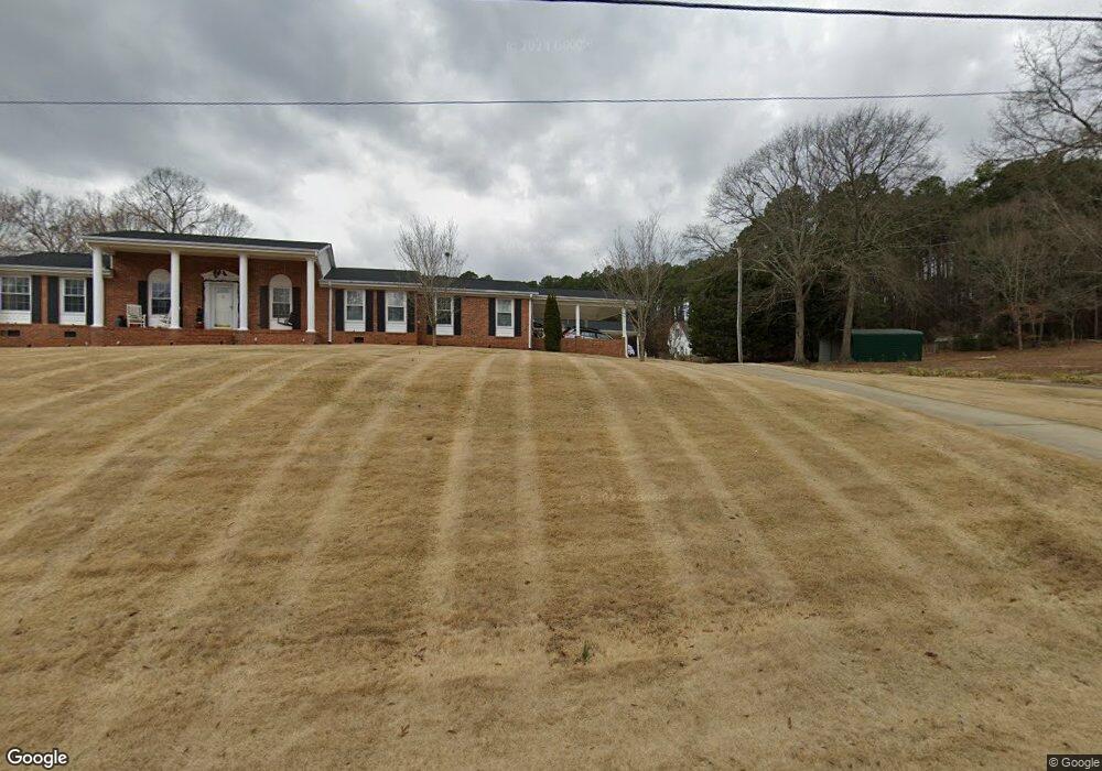
203 Mansfield Dr Spartanburg, SC 29307
Estimated Value: $299,000 - $617,911
3
Beds
3
Baths
2,392
Sq Ft
$180/Sq Ft
Est. Value
About This Home
This home is located at 203 Mansfield Dr, Spartanburg, SC 29307 and is currently estimated at $430,478, approximately $179 per square foot. 203 Mansfield Dr is a home located in Spartanburg County with nearby schools including Spartanburg High School, Spartanburg Day School, and Westminster Day School.
Ownership History
Date
Name
Owned For
Owner Type
Purchase Details
Closed on
Oct 6, 2021
Sold by
Edmonds T Bomar T and Edmonds Billie O
Bought by
Edmonds Thomas Bumar and Edmonds Billie O
Current Estimated Value
Purchase Details
Closed on
Oct 12, 2000
Sold by
Robertson Sara Lucille Trowbridge
Bought by
Edmonds T Bomar and Edmonds Billie O
Purchase Details
Closed on
Aug 11, 2000
Sold by
College Wofford and College Converse
Bought by
Ryan Philip J and Ryan Jane H
Create a Home Valuation Report for This Property
The Home Valuation Report is an in-depth analysis detailing your home's value as well as a comparison with similar homes in the area
Home Values in the Area
Average Home Value in this Area
Purchase History
| Date | Buyer | Sale Price | Title Company |
|---|---|---|---|
| Edmonds Thomas Bumar | -- | None Available | |
| Edmonds T Bomar | $60,000 | -- | |
| Ryan Philip J | $42,000 | -- |
Source: Public Records
Tax History Compared to Growth
Tax History
| Year | Tax Paid | Tax Assessment Tax Assessment Total Assessment is a certain percentage of the fair market value that is determined by local assessors to be the total taxable value of land and additions on the property. | Land | Improvement |
|---|---|---|---|---|
| 2025 | $2,500 | $14,173 | $846 | $13,327 |
| 2024 | $2,500 | $14,173 | $846 | $13,327 |
| 2023 | $2,500 | $14,173 | $846 | $13,327 |
| 2022 | $2,087 | $12,330 | $804 | $11,526 |
| 2021 | $2,087 | $12,330 | $804 | $11,526 |
| 2020 | $2,060 | $12,330 | $804 | $11,526 |
| 2019 | $2,060 | $12,330 | $804 | $11,526 |
| 2018 | $2,060 | $12,330 | $804 | $11,526 |
| 2017 | $1,646 | $10,727 | $731 | $9,996 |
| 2016 | $1,646 | $10,727 | $731 | $9,996 |
| 2015 | $1,554 | $10,727 | $731 | $9,996 |
| 2014 | $1,549 | $10,727 | $731 | $9,996 |
Source: Public Records
Map
Nearby Homes
- 276 Saranac Dr
- 268 Saranac Dr
- Oriole Plan at Crestview
- Raven Plan at Crestview
- Longspur Plan at Crestview
- Goldcrest Plan at Crestview
- 9015 Margot Place
- Corner Litchfield Plan at Ransdell Pointe
- Litchfield Plan at Ransdell Pointe
- 250 Leeds Ln
- 270 Leeds Ln
- 530 W Norvell Ct
- 8019 Broadmead Ct
- 526 W Norvell Ct
- 8007 Broadmead Ct
- 542 W Norvell Ct
- 537 W Norvell Ct
- 550 W Norvell Ct
- 538 W Norvell Ct
- 533 W Norvell Ct
- 201 Mansfield Dr
- 200 Mansfield Dr
- 205 Mansfield Dr
- 107 Mansfield Dr
- 267 Saranac Dr
- 259 Saranac Dr
- 204 Mansfield Dr
- 105 Mansfield Dr
- 560 Cotton Dr
- 108 Mansfield Dr
- 208 Mansfield Dr
- 249 Saranac Dr
- 211 Mansfield Dr
- 212 Mansfield Dr
- Saranac Drive
- 311 Saranac Dr
- 260 Saranac Dr
- 550 Cotton Dr
- 533 Cotton Dr
- 216 Mansfield Dr