Estimated Value: $122,385 - $202,000
2
Beds
2
Baths
1,008
Sq Ft
$154/Sq Ft
Est. Value
About This Home
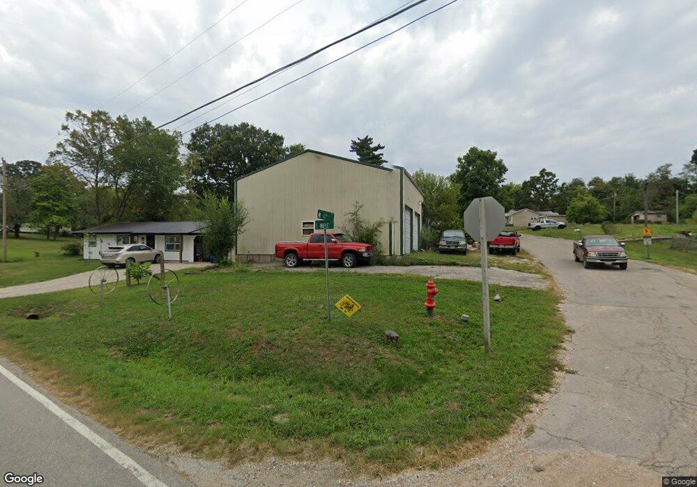
This home is located at 203 Maple St, Dixon, MO 65459 and is currently estimated at $154,846, approximately $153 per square foot. 203 Maple St is a home located in Pulaski County with nearby schools including Dixon Elementary School, Dixon Middle School, and Dixon High School.
Ownership History
Date
Name
Owned For
Owner Type
Purchase Details
Closed on
Dec 16, 2013
Sold by
Scott Barbara Lynette
Bought by
Asher Gregory A and Asher Lamoine K
Current Estimated Value
Home Financials for this Owner
Home Financials are based on the most recent Mortgage that was taken out on this home.
Original Mortgage
$63,000
Outstanding Balance
$46,795
Interest Rate
4.36%
Mortgage Type
New Conventional
Estimated Equity
$108,051
Purchase Details
Closed on
Jan 25, 2010
Sold by
Walter Ernest Lee
Bought by
Scott Barbara Lynette
Purchase Details
Closed on
Sep 23, 2005
Sold by
Petschneider Esther
Bought by
Adkins Larry and Adkins Elizabeth
Purchase Details
Closed on
Feb 14, 2005
Sold by
Walter Errnest Lee and Walter Delores Marie
Bought by
Sidwell Larry Edward
Create a Home Valuation Report for This Property
The Home Valuation Report is an in-depth analysis detailing your home's value as well as a comparison with similar homes in the area
Purchase History
| Date | Buyer | Sale Price | Title Company |
|---|---|---|---|
| Asher Gregory A | -- | -- | |
| Scott Barbara Lynette | -- | None Available | |
| Walter Ernest Lee | -- | None Available | |
| Adkins Larry | -- | -- | |
| Sidwell Larry Edward | -- | None Available |
Source: Public Records
Mortgage History
| Date | Status | Borrower | Loan Amount |
|---|---|---|---|
| Open | Asher Gregory A | $63,000 |
Source: Public Records
Tax History
| Year | Tax Paid | Tax Assessment Tax Assessment Total Assessment is a certain percentage of the fair market value that is determined by local assessors to be the total taxable value of land and additions on the property. | Land | Improvement |
|---|---|---|---|---|
| 2025 | $701 | $15,359 | $2,054 | $13,305 |
| 2024 | $7 | $13,808 | $1,712 | $12,096 |
| 2023 | $700 | $13,808 | $1,712 | $12,096 |
| 2022 | $712 | $13,808 | $1,712 | $12,096 |
| 2021 | $730 | $13,808 | $1,712 | $12,096 |
| 2020 | $693 | $13,232 | $0 | $0 |
| 2019 | $693 | $13,232 | $0 | $0 |
| 2018 | $610 | $11,552 | $0 | $0 |
| 2017 | $610 | $13,304 | $0 | $0 |
| 2016 | $610 | $11,550 | $0 | $0 |
| 2015 | -- | $11,550 | $0 | $0 |
| 2014 | $448 | $11,550 | $0 | $0 |
Source: Public Records
Map
Nearby Homes
- 501 W 5th St
- 412 W Chestnut St
- 303 S Pine St
- 302 W 3rd St
- 709 Slone Rd
- 200 W 6th St
- 103 S Ellen St
- 000 Highway 28
- 215 E 5th St
- 13306 Canuck Ln
- 15001 Highway 133
- 14011 Cobra Dr
- 11880 Cypress Rd
- 16560 Highway 133
- 40255 Maries Road 634
- 13416 Colorado Rd
- 17110 Cavalier Rd
- 12855 Chicago Rd
- 13811 Highway O
- 0 Highway 28 Unit MIS26009961
Your Personal Tour Guide
Ask me questions while you tour the home.