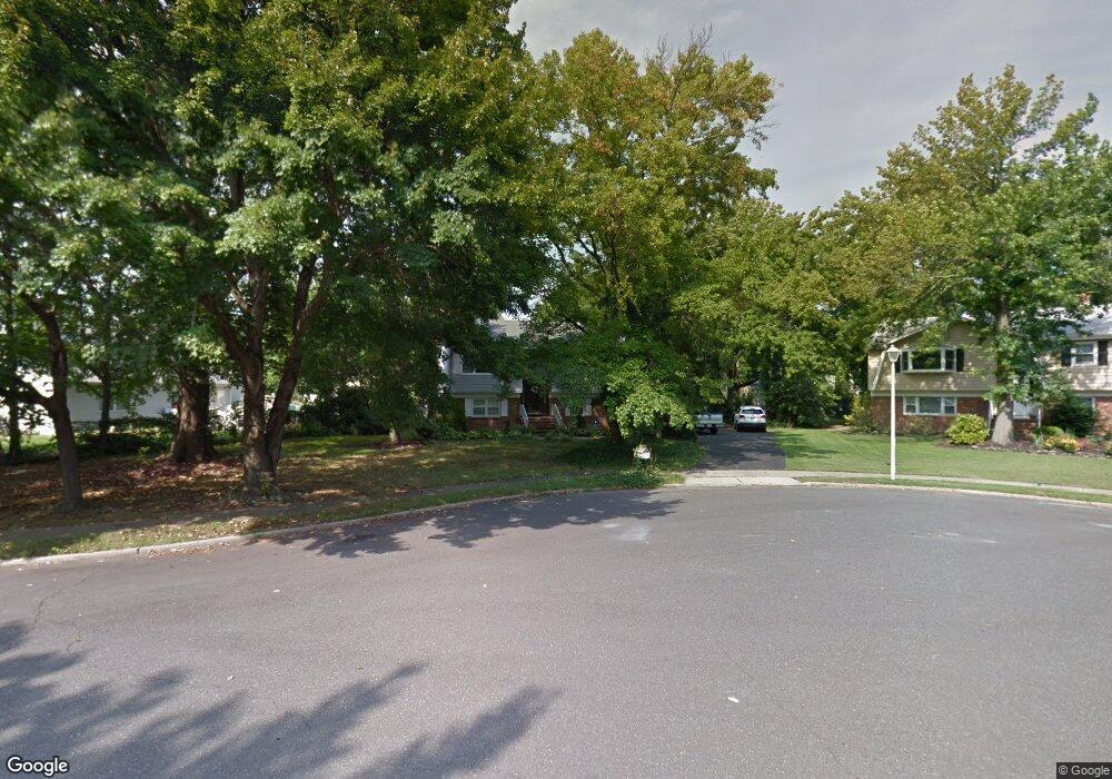
203 Maxum Ct Middletown, NJ 07748
New Monmouth NeighborhoodEstimated Value: $732,000 - $822,000
4
Beds
3
Baths
2,257
Sq Ft
$338/Sq Ft
Est. Value
About This Home
This home is located at 203 Maxum Ct, Middletown, NJ 07748 and is currently estimated at $763,041, approximately $338 per square foot. 203 Maxum Ct is a home located in Monmouth County with nearby schools including Harmony Elementary School, Thorne Middle School, and Middletown High School North.
Create a Home Valuation Report for This Property
The Home Valuation Report is an in-depth analysis detailing your home's value as well as a comparison with similar homes in the area
Home Values in the Area
Average Home Value in this Area
Tax History
| Year | Tax Paid | Tax Assessment Tax Assessment Total Assessment is a certain percentage of the fair market value that is determined by local assessors to be the total taxable value of land and additions on the property. | Land | Improvement |
|---|---|---|---|---|
| 2025 | $8,480 | $644,000 | $370,600 | $273,400 |
| 2024 | $8,687 | $515,500 | $238,900 | $276,600 |
Source: Public Records
Map
Nearby Homes
- 117 Harmony Ave
- 42 Hialeah Ave
- 66 Sunset Place
- 9 Avenue A
- 17 Avenue A
- 17 Avenue A Unit 99
- 19 Avenue A
- 8a Avenue A Unit 108
- 8a Avenue A
- 14 Avenue A Unit 102
- 18 Avenue A Unit 98
- 18 Avenue A
- 5 Avenue B
- 5 Avenue B Unit 74
- 9 Avenue C Unit 61
- 17 Avenue D
- 22 Avenue D Unit 45
- 3 John St Unit 118
- 22 John St
- 22 John St Unit 137