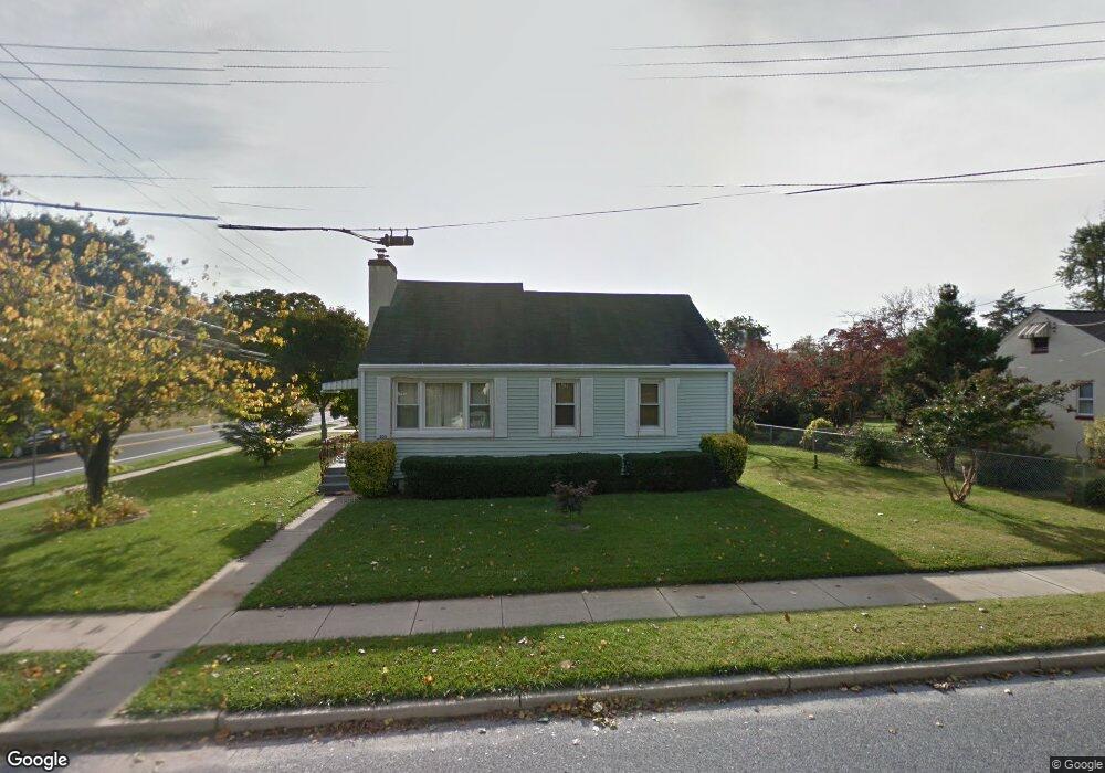
203 Mccarthy Ave Mantua, NJ 08051
Estimated Value: $272,906 - $295,000
3
Beds
1
Bath
955
Sq Ft
$301/Sq Ft
Est. Value
About This Home
This home is located at 203 Mccarthy Ave, Mantua, NJ 08051 and is currently estimated at $287,477, approximately $301 per square foot. 203 Mccarthy Ave is a home located in Gloucester County with nearby schools including J. Mason Tomlin Elementary School, Centre City School, and Clearview Regional Middle School.
Ownership History
Date
Name
Owned For
Owner Type
Purchase Details
Closed on
Oct 3, 2011
Sold by
Peters Evelyn Doris
Bought by
Parris Samuel and Souders Jennifer
Current Estimated Value
Home Financials for this Owner
Home Financials are based on the most recent Mortgage that was taken out on this home.
Original Mortgage
$146,197
Outstanding Balance
$100,430
Interest Rate
4.25%
Mortgage Type
FHA
Estimated Equity
$187,047
Create a Home Valuation Report for This Property
The Home Valuation Report is an in-depth analysis detailing your home's value as well as a comparison with similar homes in the area
Home Values in the Area
Average Home Value in this Area
Purchase History
| Date | Buyer | Sale Price | Title Company |
|---|---|---|---|
| Parris Samuel | $150,000 | Stewart Title Guaranty Co |
Source: Public Records
Mortgage History
| Date | Status | Borrower | Loan Amount |
|---|---|---|---|
| Open | Parris Samuel | $146,197 |
Source: Public Records
Tax History
| Year | Tax Paid | Tax Assessment Tax Assessment Total Assessment is a certain percentage of the fair market value that is determined by local assessors to be the total taxable value of land and additions on the property. | Land | Improvement |
|---|---|---|---|---|
| 2025 | $4,874 | $189,300 | $54,800 | $134,500 |
| 2024 | $4,823 | $189,300 | $54,800 | $134,500 |
| 2023 | $4,823 | $189,300 | $54,800 | $134,500 |
| 2022 | $5,090 | $145,500 | $38,800 | $106,700 |
| 2021 | $5,127 | $145,500 | $38,800 | $106,700 |
| 2020 | $5,087 | $145,500 | $38,800 | $106,700 |
| 2019 | $5,001 | $145,500 | $38,800 | $106,700 |
| 2018 | $4,930 | $145,500 | $38,800 | $106,700 |
| 2017 | $4,855 | $145,500 | $38,800 | $106,700 |
| 2016 | $4,800 | $145,500 | $38,800 | $106,700 |
| 2015 | $4,682 | $145,500 | $38,800 | $106,700 |
| 2014 | $4,525 | $145,500 | $38,800 | $106,700 |
Source: Public Records
Map
Nearby Homes
- 267 Mccarthy Ave
- 112 Norris St
- 146 Main St
- 505 W Mantua Ave
- 125 Ivy Ln
- 7 S Garfield Ave
- 319 Bridgeton Pike
- 325 Bridgeton Pike
- 1147 Tristram Cir Unit 1147
- 722 Glenside Dr
- 238 Syracuse Ave
- 1184 Tristram Cir Unit 4
- 1180 Tristram Cir
- 101 S Jefferson Ave
- 711 Howard Ave
- 71 Hickory Ave
- 606 Sangreal Ct Unit 505
- 313 Ogden Station Rd
- 153 Pendragon Way Unit 153
- 100 Buddy Powell Ln
- 209 Mccarthy Ave
- 315 Mantua Blvd
- 208 Elm Ave
- 217 Mccarthy Ave
- 275 Mantua Blvd
- 214 Elm Ave
- 271 Mantua Blvd
- 221 Mccarthy Ave
- 212 Mccarthy Ave
- 220 Elm Ave
- 267 Mantua Blvd
- 224 Mccarthy Ave
- 218 Mccarthy Ave
- 227 Mccarthy Ave
- 327 Mantua Blvd
- 265 Mantua Blvd
- 207 Elm Ave
- 146 Mccarthy Ave
- 226 Mccarthy Ave
- 226 Elm Ave
Your Personal Tour Guide
Ask me questions while you tour the home.