203 Mccloud Rd Hyndman, PA 15545
Estimated Value: $174,000 - $248,327
--
Bed
--
Bath
2,356
Sq Ft
$83/Sq Ft
Est. Value
About This Home
This home is located at 203 Mccloud Rd, Hyndman, PA 15545 and is currently estimated at $196,332, approximately $83 per square foot. 203 Mccloud Rd is a home located in Bedford County with nearby schools including Bedford Elementary School, Bedford Middle School, and Bedford Senior High School.
Ownership History
Date
Name
Owned For
Owner Type
Purchase Details
Closed on
Jul 29, 2022
Sold by
John E Shaffer Llc
Bought by
Emerick Dylan
Current Estimated Value
Home Financials for this Owner
Home Financials are based on the most recent Mortgage that was taken out on this home.
Original Mortgage
$150,000
Outstanding Balance
$143,710
Interest Rate
5.78%
Mortgage Type
New Conventional
Estimated Equity
$52,622
Purchase Details
Closed on
Dec 29, 2004
Sold by
Canada Ina F
Bought by
Shaffer Randy L and Shaffer Pamela J
Home Financials for this Owner
Home Financials are based on the most recent Mortgage that was taken out on this home.
Original Mortgage
$50,000
Interest Rate
5.73%
Mortgage Type
FHA
Purchase Details
Closed on
Aug 1, 1957
Bought by
Mccloud Eugene F and Mccloud Ina
Create a Home Valuation Report for This Property
The Home Valuation Report is an in-depth analysis detailing your home's value as well as a comparison with similar homes in the area
Home Values in the Area
Average Home Value in this Area
Purchase History
| Date | Buyer | Sale Price | Title Company |
|---|---|---|---|
| Emerick Dylan | $150,000 | None Listed On Document | |
| Shaffer Randy L | -- | None Available | |
| Mccloud Eugene F | -- | -- |
Source: Public Records
Mortgage History
| Date | Status | Borrower | Loan Amount |
|---|---|---|---|
| Open | Emerick Dylan | $150,000 | |
| Previous Owner | Shaffer Randy L | $50,000 |
Source: Public Records
Tax History Compared to Growth
Tax History
| Year | Tax Paid | Tax Assessment Tax Assessment Total Assessment is a certain percentage of the fair market value that is determined by local assessors to be the total taxable value of land and additions on the property. | Land | Improvement |
|---|---|---|---|---|
| 2025 | $2,631 | $160,000 | $54,400 | $105,600 |
| 2024 | $2,382 | $160,000 | $54,400 | $105,600 |
| 2023 | $2,318 | $160,000 | $54,400 | $105,600 |
| 2022 | $2,287 | $160,000 | $54,400 | $105,600 |
| 2021 | $2,176 | $160,000 | $54,400 | $105,600 |
| 2020 | $2,109 | $160,000 | $54,400 | $105,600 |
| 2019 | $2,023 | $160,000 | $54,400 | $105,600 |
| 2018 | $3,894 | $160,000 | $54,400 | $105,600 |
| 2017 | $3,831 | $180,400 | $74,800 | $105,600 |
| 2016 | -- | $181,080 | $75,480 | $105,600 |
| 2014 | -- | $179,750 | $74,150 | $105,600 |
Source: Public Records
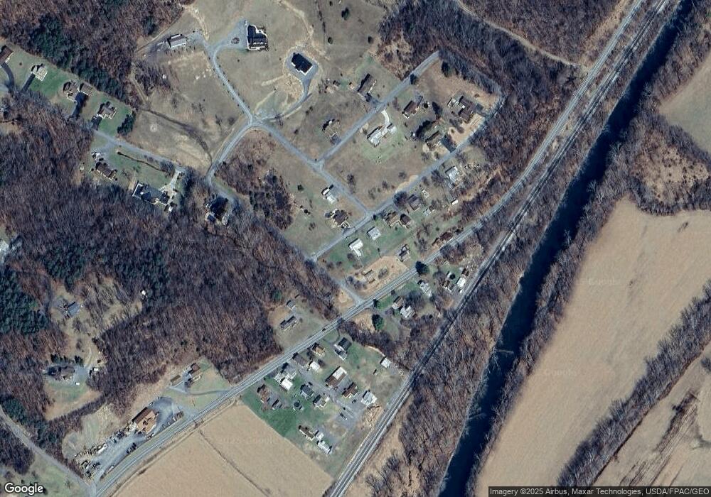
Map
Nearby Homes
- 14514 Ellerslie Rd
- 10117 Hummingbird St
- 14403 Ellerslie Rd
- 10101 High Pine Ct
- 10124 Hummingbird St
- 10128 Hummingbird St
- 10007 Devore St
- 13925 Ellerslie Rd
- 13900 Schellsburg Rd
- 13902 Rolling Oak Dr
- 11005 Kreighbaum Rd
- 12828 Old Hollow Rd
- 12401 Amherst Ave NE
- 12603 Ellerslie Rd NW
- 13400 Grevener St
- 11212 Poorbaugh Ave
- 11919 Amherst Ave NE
- 2140 Hyndman Rd
- 11416 Kline Dr NW
- 2210 Hyndman Rd