203 Meadow Ridge Ct Canton, GA 30115
Union Hill NeighborhoodEstimated Value: $862,922 - $951,000
6
Beds
5
Baths
4,784
Sq Ft
$190/Sq Ft
Est. Value
About This Home
This home is located at 203 Meadow Ridge Ct, Canton, GA 30115 and is currently estimated at $906,961, approximately $189 per square foot. 203 Meadow Ridge Ct is a home located in Cherokee County with nearby schools including Avery Elementary School, Creekland Middle School, and Creekview High School.
Ownership History
Date
Name
Owned For
Owner Type
Purchase Details
Closed on
Sep 30, 2002
Sold by
Allmond Karen
Bought by
Brunette David D
Current Estimated Value
Home Financials for this Owner
Home Financials are based on the most recent Mortgage that was taken out on this home.
Original Mortgage
$370,000
Outstanding Balance
$144,764
Interest Rate
5.5%
Mortgage Type
New Conventional
Estimated Equity
$762,197
Create a Home Valuation Report for This Property
The Home Valuation Report is an in-depth analysis detailing your home's value as well as a comparison with similar homes in the area
Home Values in the Area
Average Home Value in this Area
Purchase History
| Date | Buyer | Sale Price | Title Company |
|---|---|---|---|
| Brunette David D | $389,000 | -- |
Source: Public Records
Mortgage History
| Date | Status | Borrower | Loan Amount |
|---|---|---|---|
| Open | Brunette David D | $370,000 |
Source: Public Records
Tax History Compared to Growth
Tax History
| Year | Tax Paid | Tax Assessment Tax Assessment Total Assessment is a certain percentage of the fair market value that is determined by local assessors to be the total taxable value of land and additions on the property. | Land | Improvement |
|---|---|---|---|---|
| 2025 | $2,272 | $336,280 | $80,000 | $256,280 |
| 2024 | $7,133 | $274,480 | $60,000 | $214,480 |
| 2023 | $7,424 | $285,680 | $60,000 | $225,680 |
| 2022 | $7,249 | $275,800 | $50,400 | $225,400 |
| 2021 | $5,739 | $202,160 | $40,000 | $162,160 |
| 2020 | $5,814 | $204,600 | $40,000 | $164,600 |
| 2019 | $5,735 | $201,840 | $40,000 | $161,840 |
| 2018 | $5,667 | $198,240 | $40,000 | $158,240 |
| 2017 | $5,579 | $484,100 | $40,000 | $153,640 |
| 2016 | $5,549 | $476,500 | $40,000 | $150,600 |
| 2015 | $4,719 | $401,300 | $40,000 | $120,520 |
| 2014 | $3,722 | $315,900 | $24,000 | $102,360 |
Source: Public Records
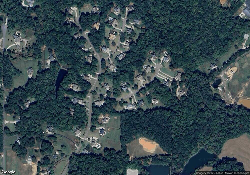
Map
Nearby Homes
- 7820 E Cherokee Dr
- 8143 E Cherokee Dr
- 102 Carmichael Dr
- 302 Carmichael Cir
- 1996 Thomas Rd
- 6428 E Cherokee Dr
- 6438 E Cherokee Dr
- 487 Carmichael Cir
- 162 Carmichael Dr
- 517 Hayes Ln
- 205 Northampton Ct
- 0 Memory Ln Unit 10529153
- 1205 Sterlington Dr
- 1209 Sterlington Dr
- 1217 Sterlington Dr
- 2001 Epperson Rd
- 1216 Sterlington Dr
- 182 Oak Forest Dr
- 7232 E Cherokee Dr
- 128 Creekview Ln
- 205 Meadow Ridge Ct
- 201 Meadow Ridge Ct
- 202 Meadow Ridge Ct
- 300 Hickory Ridge Ct
- 204 Meadow Ridge Ct
- 200 Meadow Ridge Ct
- 207 Meadow Ridge Ct
- 302 Hickory Ridge Ct
- 114 Shiloh Ridge Trail
- 119 Shiloh Ridge Trail
- 304 Hickory Ridge Ct
- 208 Meadow Ridge Ct
- 209 Meadow Ridge Ct
- 301 Hickory Ridge Ct
- 123 Shiloh Ridge Trail
- 112 Shiloh Ridge Trail
- 214 Meadow Ridge Ct
- 117 Shiloh Ridge Trail
- 303 Hickory Ridge Ct
- 115 Shiloh Ridge Trail