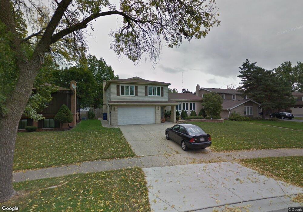
203 N Baynard Rd Addison, IL 60101
Estimated Value: $428,684 - $526,000
--
Bed
1
Bath
2,229
Sq Ft
$221/Sq Ft
Est. Value
About This Home
This home is located at 203 N Baynard Rd, Addison, IL 60101 and is currently estimated at $492,171, approximately $220 per square foot. 203 N Baynard Rd is a home located in DuPage County with nearby schools including Wesley Elementary School, Indian Trail Jr High School, and Addison Trail High School.
Ownership History
Date
Name
Owned For
Owner Type
Purchase Details
Closed on
May 7, 2004
Sold by
Harris Trust & Savings Bank
Bought by
Daleki Michael and Daleki Connie
Current Estimated Value
Home Financials for this Owner
Home Financials are based on the most recent Mortgage that was taken out on this home.
Original Mortgage
$147,000
Interest Rate
5.99%
Mortgage Type
Purchase Money Mortgage
Purchase Details
Closed on
Apr 11, 2002
Sold by
Addante Joseph
Bought by
Harris Trust & Svgs Bank and Trust #Hth 2073
Create a Home Valuation Report for This Property
The Home Valuation Report is an in-depth analysis detailing your home's value as well as a comparison with similar homes in the area
Home Values in the Area
Average Home Value in this Area
Purchase History
| Date | Buyer | Sale Price | Title Company |
|---|---|---|---|
| Daleki Michael | $334,000 | -- | |
| Harris Trust & Svgs Bank | -- | -- |
Source: Public Records
Mortgage History
| Date | Status | Borrower | Loan Amount |
|---|---|---|---|
| Closed | Daleki Michael | $147,000 | |
| Closed | Daleki Michael | $150,000 |
Source: Public Records
Tax History Compared to Growth
Tax History
| Year | Tax Paid | Tax Assessment Tax Assessment Total Assessment is a certain percentage of the fair market value that is determined by local assessors to be the total taxable value of land and additions on the property. | Land | Improvement |
|---|---|---|---|---|
| 2024 | $9,331 | $140,392 | $45,655 | $94,737 |
| 2023 | $8,912 | $129,060 | $41,970 | $87,090 |
| 2022 | $9,016 | $128,420 | $41,760 | $86,660 |
| 2021 | $8,642 | $123,010 | $40,000 | $83,010 |
| 2020 | $8,410 | $117,820 | $38,310 | $79,510 |
| 2019 | $8,355 | $113,290 | $36,840 | $76,450 |
| 2018 | $8,690 | $113,050 | $35,760 | $77,290 |
| 2017 | $8,471 | $108,050 | $34,180 | $73,870 |
| 2016 | $8,252 | $99,760 | $31,560 | $68,200 |
| 2015 | $8,053 | $92,150 | $29,150 | $63,000 |
| 2014 | $7,499 | $85,700 | $24,060 | $61,640 |
| 2013 | $7,345 | $87,450 | $24,550 | $62,900 |
Source: Public Records
Map
Nearby Homes
- +/-1.51 Acres Lake St
- 202 N Country Club Dr
- 231 N Flora Pkwy
- 768 W St Johns Place
- 737 Saint Johns Place
- 6219 Links Dr Unit 27001
- 6213 Links Dr Unit 26001
- 6221 Links Dr Unit 27002
- 6232 Links Dr Unit 3001
- 6220 Links Dr Unit 1001
- 180 N Prairie Dr
- 1155 W Westwood Trail
- 551 N 6th Ave
- Birch Plan at The Townes at Mill Creek
- Chestnut Plan at The Townes at Mill Creek
- Aspen Plan at The Townes at Mill Creek
- Willow Plan at The Townes at Mill Creek
- 276 Masters Dr
- 253 Masters Dr
- 257 Masters Dr
- 209 N Baynard Rd
- 1001 W Gramercy Ln
- 215 N Baynard Rd
- 1236 Degener Ave
- 1050 W Woodland Ave
- 3N763 N Route 53 Hwy
- 3n244 Route 53
- 0 Army Trail Trail Unit MRD06435628
- 2N550 Route 53
- 4N100 Route 53
- 1005 W Gramercy Ln
- 204 N Baynard Rd
- 221 N Baynard Rd
- 210 N Baynard Rd
- 1009 W Gramercy Ln
- 1022 W Gramercy Ln
- 216 N Baynard Rd
- 1015 W Gramercy Ln
- 236 N Pioneer Dr Unit 1
- 227 N Baynard Rd