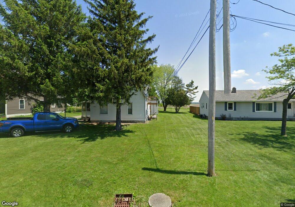
203 N Findlay Rd Haskins, OH 43525
Estimated Value: $185,116 - $214,000
3
Beds
2
Baths
1,792
Sq Ft
$110/Sq Ft
Est. Value
About This Home
This home is located at 203 N Findlay Rd, Haskins, OH 43525 and is currently estimated at $196,372, approximately $109 per square foot. 203 N Findlay Rd is a home located in Wood County with nearby schools including Otsego Elementary School, Otsego Junior High School, and Otsego High School.
Ownership History
Date
Name
Owned For
Owner Type
Purchase Details
Closed on
Nov 29, 2021
Sold by
Bobel Frederic P and Bobel Coleen C
Bought by
Boble Frederic P and Boble Coleen C
Current Estimated Value
Purchase Details
Closed on
May 1, 1996
Sold by
Smith Tom R
Bought by
Bobel Fred P and Bobel Coleen C
Home Financials for this Owner
Home Financials are based on the most recent Mortgage that was taken out on this home.
Original Mortgage
$57,600
Interest Rate
7.86%
Mortgage Type
New Conventional
Purchase Details
Closed on
Feb 24, 1993
Sold by
Smith Ruth E
Bought by
Smith Ruth E Le Smith Tr
Create a Home Valuation Report for This Property
The Home Valuation Report is an in-depth analysis detailing your home's value as well as a comparison with similar homes in the area
Home Values in the Area
Average Home Value in this Area
Purchase History
| Date | Buyer | Sale Price | Title Company |
|---|---|---|---|
| Boble Frederic P | -- | None Available | |
| Bobel Fred P | $72,000 | -- | |
| Smith Ruth E Le Smith Tr | -- | -- |
Source: Public Records
Mortgage History
| Date | Status | Borrower | Loan Amount |
|---|---|---|---|
| Previous Owner | Bobel Fred P | $57,600 |
Source: Public Records
Tax History Compared to Growth
Tax History
| Year | Tax Paid | Tax Assessment Tax Assessment Total Assessment is a certain percentage of the fair market value that is determined by local assessors to be the total taxable value of land and additions on the property. | Land | Improvement |
|---|---|---|---|---|
| 2024 | $1,881 | $40,110 | $9,975 | $30,135 |
| 2023 | $1,881 | $40,120 | $9,980 | $30,140 |
| 2021 | $1,707 | $33,430 | $7,740 | $25,690 |
| 2020 | $1,715 | $33,430 | $7,740 | $25,690 |
| 2019 | $1,597 | $29,900 | $7,740 | $22,160 |
| 2018 | $1,594 | $29,900 | $7,740 | $22,160 |
| 2017 | $1,466 | $29,900 | $7,740 | $22,160 |
| 2016 | $1,363 | $26,920 | $8,090 | $18,830 |
| 2015 | $1,363 | $26,920 | $8,090 | $18,830 |
| 2014 | $1,404 | $26,920 | $8,090 | $18,830 |
| 2013 | $1,452 | $25,620 | $7,700 | $17,920 |
Source: Public Records
Map
Nearby Homes
- 109 High St
- 0 River Rd W
- 19537 Liberty Hi Rd
- 16890 W River Rd
- 335 S River Rd
- 35 S River Rd
- 22 S 5th St
- 0 W River Rd Unit 6134934
- 0 W River Rd Unit 6133310
- 131 N River Rd
- 24 Pennsylvania Ave
- 21 Pennsylvania Ave
- 214 N 2nd St
- 513 North St
- 132 Wilkshire Dr
- 1020 Michigan Ave
- 1248 Applegate St
- 0 King Rd Unit 6114532
- 17 Karis St
- 320 Ridgepoint Cir
- 205 N Findlay Rd
- 205 N Findlay Rd
- 201 S Findlay St
- 120 S Findlay Rd
- 120 N Findlay Rd
- 116 S Church St
- 120 S Findlay St
- 111 S Church St
- 119 N Findlay Rd
- 0 Church St
- 115 S Church St
- 113 S Church St
- 115 N Findlay Rd
- 0 Church St
- 0 Church St
- 109 S Church St
- 0 Findlay St
- 108 S Church St
- 373 N Findlay Rd
- 0 S Church St